Aussicht & Wahrzeichen
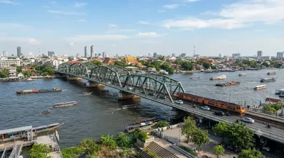
Rama-VII.-Brücke
Rama VII Bridge
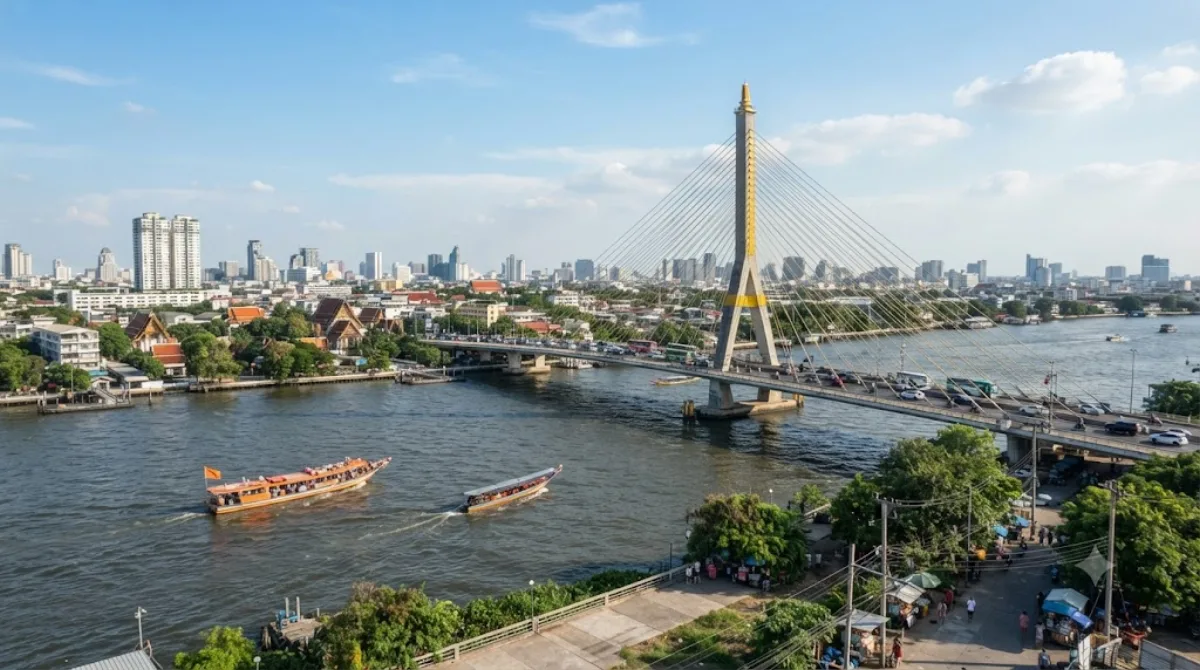
Die Rama-VII-Brücke
Die Rama-VII-Brücke ist eine sechsspurige Straßenbrücke, die den Chao Phraya Fluss überquert und die Stadtteile Bang Sue in Bangkok mit Bang Phlat in Nonthaburi verbindet. Sie wurde benannt zu Ehren von König Prajadhipok (Rama VII). Reisende besuchen diesen Ort primär als architektonischen Orientierungspunkt und um einen Blick auf den Fluss sowie die umliegende städtische Infrastruktur zu werfen.
Anreise aus dem Stadtzentrum
Die Brücke ist vom Zentrum Bangkoks aus am besten mit dem Taxi oder über öffentliche Verkehrsmittel wie den Bus erreichbar. Je nach Verkehrslage dauert die Fahrt etwa 30 bis 60 Minuten.
Aufenthaltsdauer
Da es sich um ein funktionales Bauwerk und einen Verkehrsknotenpunkt handelt, reicht ein kurzer Aufenthalt von 30 bis 60 Minuten aus, um die Brücke zu überqueren oder die Aussicht auf den Fluss zu betrachten.
Beste Besuchszeit
Ein Besuch während der frühen Morgenstunden oder am späten Nachmittag ist ratsam, um die Hitze des Tages zu vermeiden. Da die Brücke eine wichtige Verkehrsader ist, kann es zu Stoßzeiten zu starkem Verkehr und entsprechendem Lärm kommen.
Kombinationsmöglichkeiten
Aufgrund der Lage lassen sich weitere Ziele in der Umgebung einplanen:
- Rama-VI-Brücke: 0,2 km entfernt
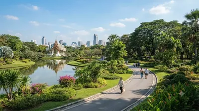
- Queen Sirikit Park: 4 km entfernt
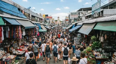
- Chatuchak Weekend Market: 4,3 km entfernt
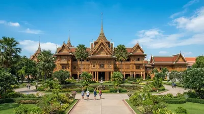
- Dusit Palace: 4,5 km entfernt
Aktualisiert 20. September 2026 · Redaktion die World by City-Redaktion
 GetYourGuide
 Klook
Klook
 Tiqets
 KKday
KKday
 WeGoTrip
 Booking.com
 Hotels.com