Natur
Mactan
Mactan
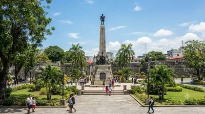
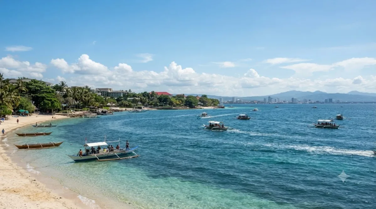
Mactan ist eine Insel vor der Ostküste von Cebu, die administrativ zwischen der Stadt Lapu-Lapu und der Gemeinde Cordova aufgeteilt ist. Die Insel dient als wichtigstes Tor zu den zentralen Philippinen, da sich hier der internationale Flughafen von Cebu befindet. Reisende besuchen die Insel primär für die Küstenbereiche, die zahlreiche Resorts sowie Tauch- und Schnorchelplätze für marine Aktivitäten bieten.
Anreise und Dauer
Die Insel ist über Brücken mit dem Stadtzentrum von Cebu verbunden. Die Fahrtzeit variiert je nach Verkehrslage erheblich, da die Verbindungswege oft stark frequentiert sind. Für einen ersten Besuch und die Erkundung der Küstenaktivitäten sollte man mindestens einen bis zwei Tage einplanen, abhängig davon, ob ein Aufenthalt in einem der Resorts vorgesehen ist.
Beste Reisezeit
Die Besuche der Strände und Tauchspots sind wetterabhängig. In der Regenzeit kann es zu Einschränkungen bei den Wasseraktivitäten kommen. In den touristischen Hauptsaisons ist an den Küsten mit einem hohen Besucheraufkommen zu rechnen.
Kombinationsmöglichkeiten
In der näheren Umgebung befinden sich weitere Sehenswürdigkeiten, die mit dem Transportmittel der Wahl erreicht werden können:
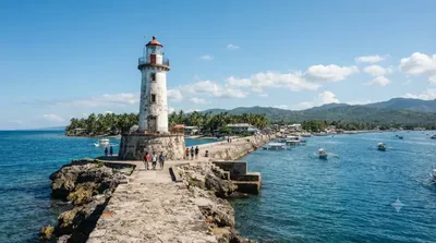
- Muelle Osmeña Lighthouse (2,5 km)
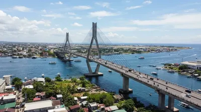
- Marcelo Fernan Bridge (3 km)
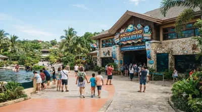
- Mactan Island Aquarium (3,7 km)
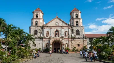
- Mandaue Church (4 km)
Aktualisiert 20. September 2026 · Redaktion die World by City-Redaktion
 GetYourGuide
 Klook
Klook
 Tiqets
 KKday
KKday
 WeGoTrip
 Booking.com
 Hotels.com