Shopping & Viertel
Nanba
Namba
Namba: Das Zentrum von Minami
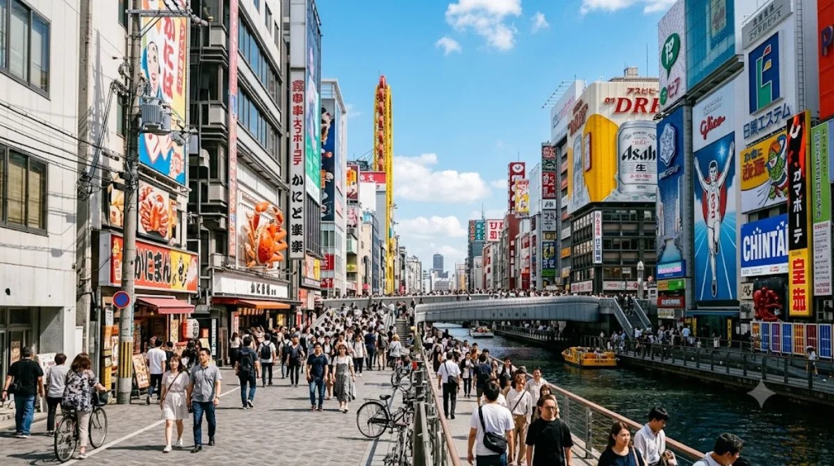
Namba ist das Herzstück des südlichen Stadtgebiets (Minami) von Osaka. Das Viertel dient als zentraler Knotenpunkt für den öffentlichen Nahverkehr und ist geprägt von einer hohen Dichte an Einkaufszentren, Ladenstraßen und Gastronomiebetrieben. Reisende nutzen den Ort primär zum Einkaufen, zum Besuch lokaler Restaurants oder als Ausgangspunkt für Ausflüge in die umliegenden Präfekturen wie Kyoto, Nara und Wakayama.
Anreise und Dauer
Da Namba selbst ein zentraler Teil der Stadt ist, ist die Erreichbarkeit aus anderen Stadtteilen sehr einfach. Über die Osaka Metro oder verschiedene Bahnlinien (JR, Kintetsu, Nankai, Hanshin) ist das Gebiet in der Regel innerhalb von 15 bis 30 Minuten vom Stadtzentrum aus erreichbar. Für einen ersten Überblick über die Einkaufsstraßen und die Umgebung sollten Besucher etwa einen halben bis einen ganzen Tag einplanen.
Besuchszeit und Hinweise
Das Viertel ist zu jeder Tageszeit belebt, wobei die gastronomischen Angebote besonders in den Abendstunden frequentiert werden. Aufgrund der Funktion als Verkehrsknotenpunkt und Shopping-Destination ist in Namba dauerhaft mit großen Menschenmengen zu rechnen, insbesondere an Wochenenden und Feiertagen.
Kombinationsmöglichkeiten
Aufgrund der zentralen Lage lassen sich weitere Sehenswürdigkeiten in kurzer Distanz zu Fuß erreichen:
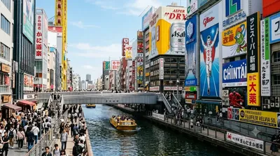
- Dōtonbori (0,2 km): Bekannt für seine Gastronomie und Leuchtreklamen.
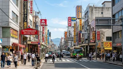
- Nipponbashi (0,6 km): Ein Zentrum für Elektronik und Hobbyartikel.
- Shinsaibashi (0,6 km): Eine der bekanntesten Einkaufsstraßen der Stadt.
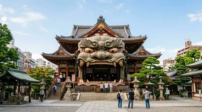
- Namba-yasaka-Schrein (0,7 km): Ein Schrein mit einer markanten Architektur.
Aktualisiert 20. September 2026 · Redaktion die World by City-Redaktion
 GetYourGuide
 Klook
Klook
 Tiqets
 KKday
KKday
 WeGoTrip
 Booking.com
 Hotels.com