Aussicht & Wahrzeichen
Tsūtenkaku
Tsūtenkaku
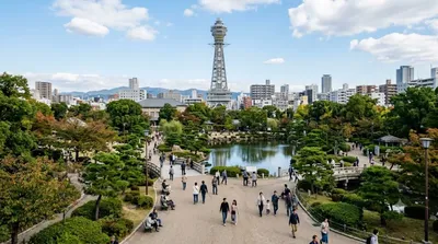
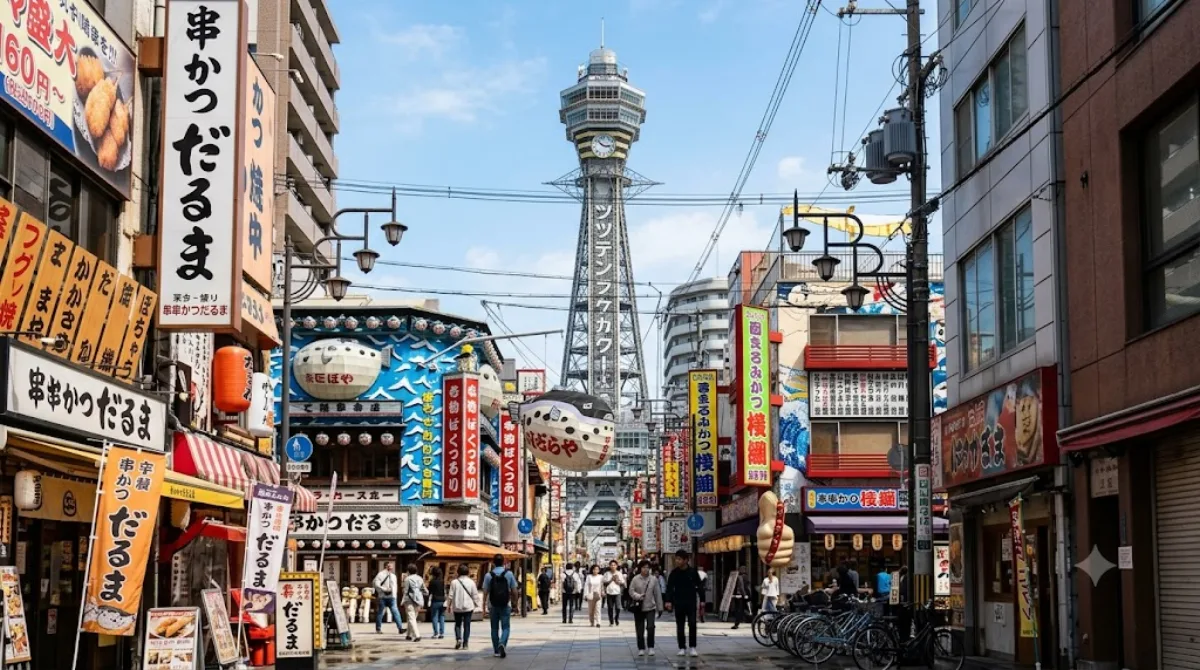
Der Tsūtenkaku ist ein 108 Meter hoher Aussichtsturm im Stadtteil Shinsekai im Bezirk Naniwa in Osaka. Besucher nutzen den Turm, um die Stadt aus einer Höhe von 91 Metern zu überblicken. Neben der Aussichtsplattform ist der Turm ein zentraler Punkt des umliegenden Viertels, das für seine traditionelle, städtische Atmosphäre Osakas bekannt ist.
Anreise und Zeitplanung
Der Turm ist vom Stadtzentrum aus mit den öffentlichen Verkehrsmitteln erreichbar. Die Fahrtzeit variiert je nach Startpunkt, dauert jedoch in der Regel etwa 15 bis 30 Minuten. Für den Besuch des Turms und einen kurzen Spaziergang durch die unmittelbare Umgebung sollten etwa zwei bis drei Stunden eingeplant werden.
Besuchszeit und Hinweise
Der Bereich um den Turm ist besonders in den Abendstunden belebt, wenn die Leuchtreklamen des Viertels eingeschaltet sind. Da es sich um eine bekannte Sehenswürdigkeit handelt, kann es insbesondere an Wochenenden und Feiertagen zu hohem Besucheraufkommen und Warteschlangen kommen.
Kombinationsmöglichkeiten
Aufgrund der zentralen Lage im Viertel lassen sich weitere Attraktionen in kurzer Distanz kombinieren:
- Shinsekai: Direkt am Standort (0 km).
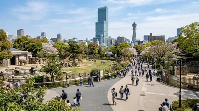
- Tennōji Zoo: In etwa 0,2 km Entfernung.
- Tennōji Park: In etwa 0,4 km Entfernung.
- Osaka City Museum of Fine Arts: In etwa 0,5 km Entfernung.
Aktualisiert 20. September 2026 · Redaktion die World by City-Redaktion
 GetYourGuide
 Klook
Klook
 Tiqets
 KKday
KKday
 WeGoTrip
 Booking.com
 Hotels.com