
2박 3일
돌로미티 2박 3일 코스
Tre Cime di Lavaredo, Paternkofel, Zwölferkofel, Cadini group 등 돌로미티의 대표 명소를 하루 이동거리 기준으로 묶은 3일 코스입니다.
이동 거리는 직선거리 기준이라 실제 대중교통 소요 시간과는 차이가 있어요. 순서는 취향대로 바꿔도 됩니다. · 갱신 2026년 8월 15일
전체 동선 한눈에 보기
지도·장소 데이터 © OpenStreetMap 기여자 직선 연결이라 실제 이동 경로와는 다릅니다.
DAY 1
트레 치메 디 라바레도 중심 · 자연
구글 지도로 길찾기-
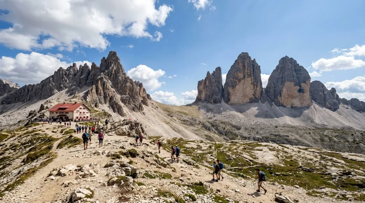
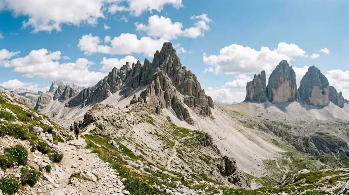
오전트레 치메 디 라바레도
자연
이탈리아 북동부 돌로미티 지역에 위치한 알프스의 대표적인 산군입니다. 성벽을 닮은 독특한 형태의 거대한 바위 봉우리 세 개가 나란히 솟아 웅장한 장관을 연출합니다.
-
점심 후
-
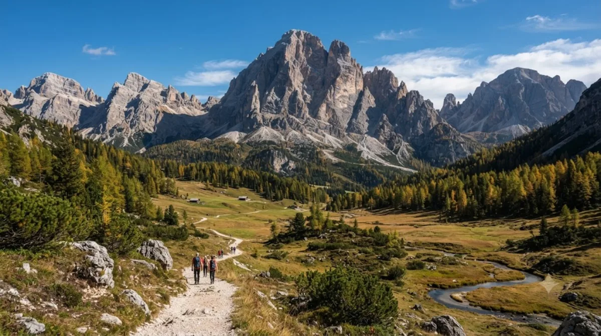
오후츠뵐퍼코펠산
자연 · 앞 장소에서 3.6 km
이탈리아 남티롤과 벨루노 경계에 위치한 섹스텐 돌로미티의 대표적인 암봉입니다. 웅장한 바위 암벽이 솟아 있어 돌로미티 특유의 거친 자연 풍경을 감상하기에 좋습니다.
-
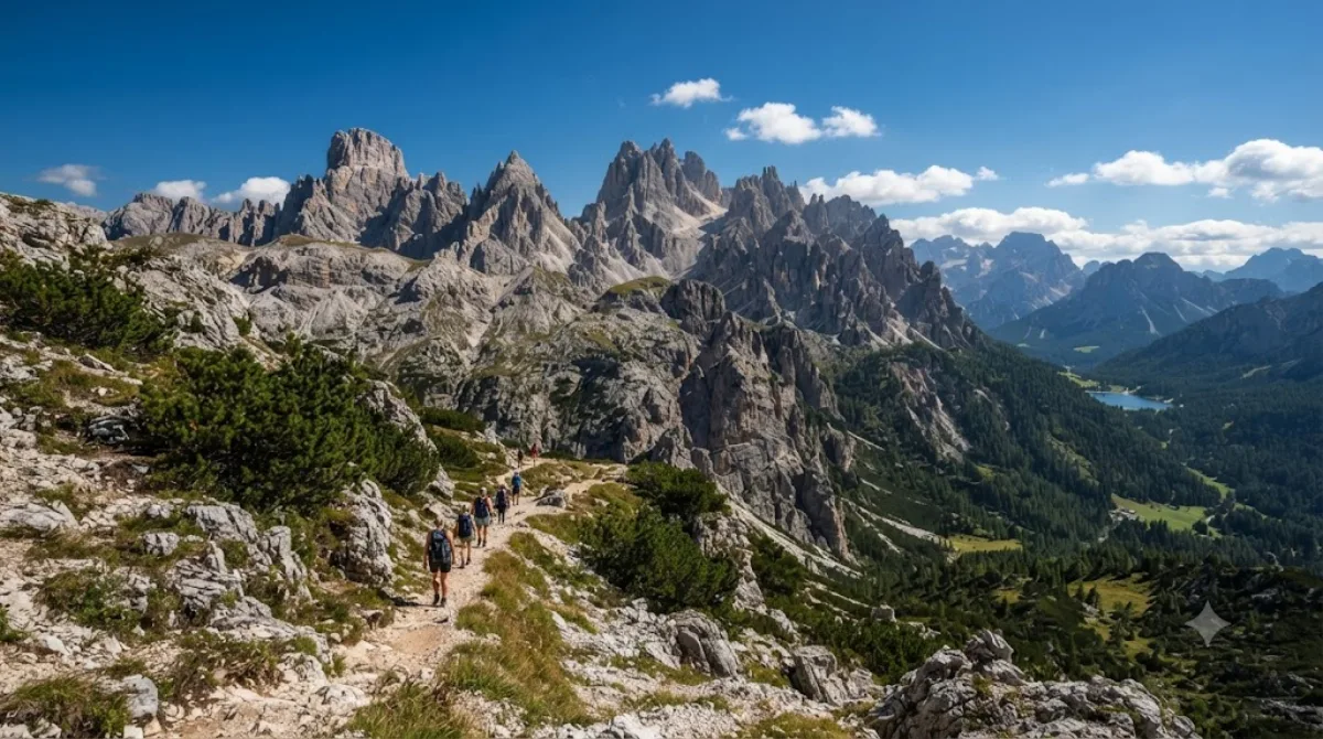
저녁카디니 산군
자연 · 앞 장소에서 7.1 km
동부 돌로미티의 벨루노에 위치하며 미수리나 호수를 내려다보고 있는 웅장한 산군입니다. 가장 높은 봉우리인 치마 카딘 디 산 루카노를 비롯해 코르티나담페초 북동쪽으로 빼어난 산세가 펼쳐집니다.
DAY 2
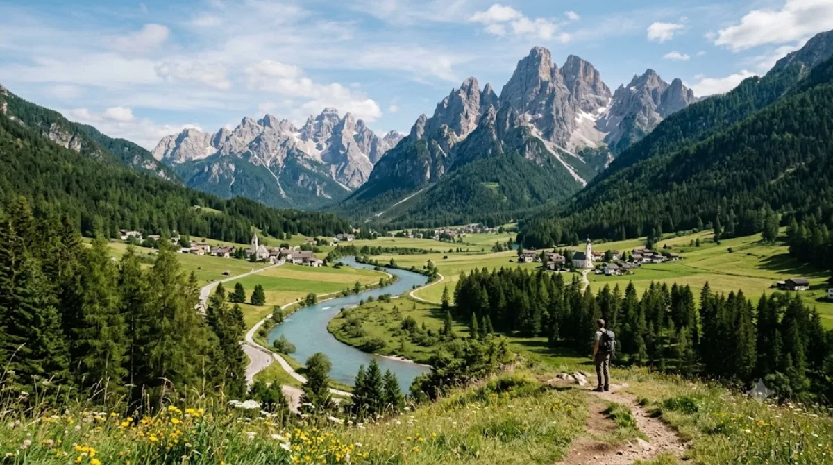
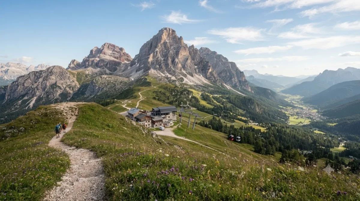
드라바강 중심 · 자연
구글 지도로 길찾기-
오전
-
오후
-
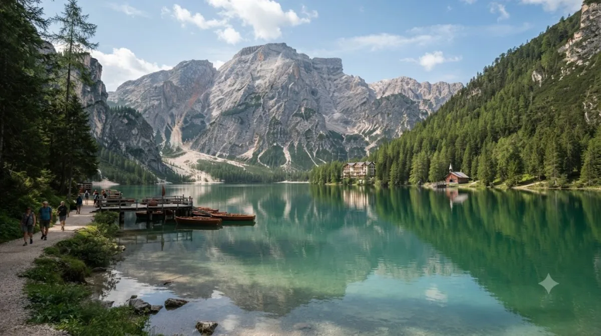
저녁브라이에스 호수
자연 · 앞 장소에서 23.2 km
이탈리아 남티롤 프라그스 계곡의 돌로미티 산군에 위치한 천연 호수입니다. 웅장한 산자락에 둘러싸인 천혜의 자연 속에서 맑은 호수 풍경을 감상하기 좋습니다.
DAY 3
치베타산 중심 · 자연
구글 지도로 길찾기-
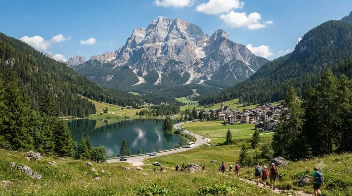
오전치베타산
자연
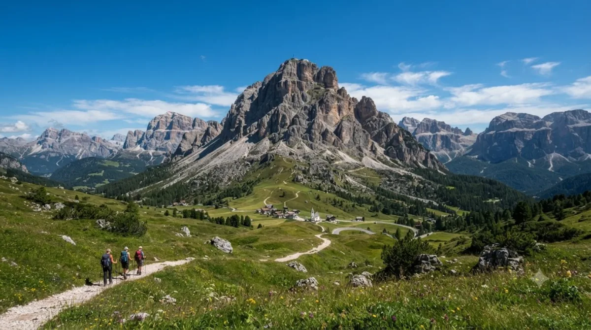
이탈리아 북부 벨루노 지역에 우뚝 솟은 산으로 돌로미티를 상징하는 대표적인 명소 중 하나입니다. 타이본 아고르디노 계곡에서 바라보는 웅장한 북서벽 풍경이 특히 유명합니다.
-
점심 후몬테 펠모
자연 · 앞 장소에서 7.6 km
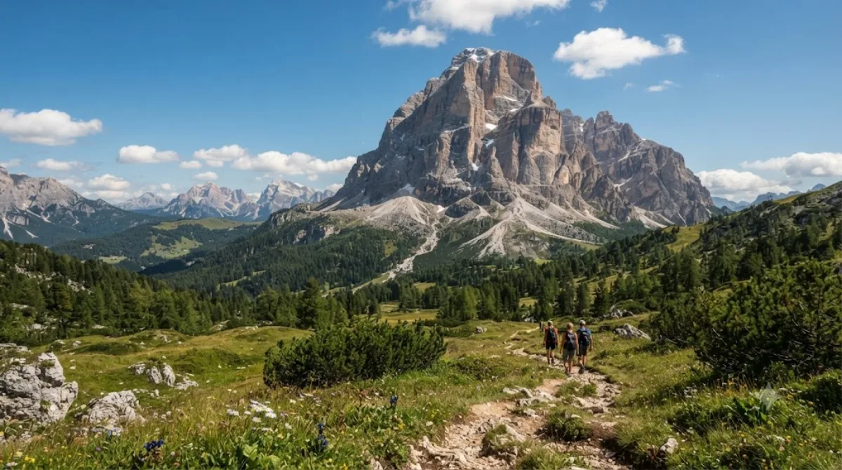
이탈리아 북동부 벨루노 지역에 솟아 있는 돌로미티 산맥의 대표적인 산입니다. 웅장한 암봉과 수려한 자연환경이 어우러져 돌로미티의 산세를 만끽하기 좋습니다.
-
오후지아우 고개
자연 · 앞 장소에서 9.5 km
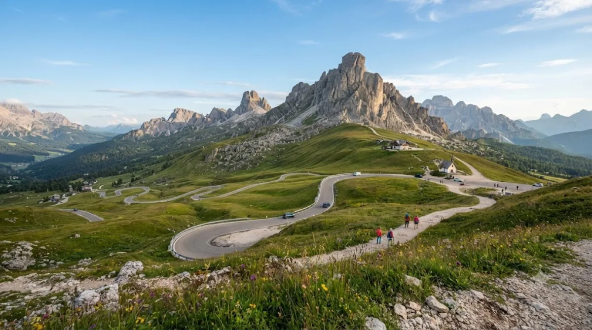
돌로미티의 아름다운 산악 지대에 위치한 해발 2,236미터의 고갯길입니다. 코르티나담페초와 주변 지역들을 서로 이어 주는 주요 통로 역할을 합니다.
-
저녁
이 일정이면 어디에 묵을까
첫날 동선의 중심인 트레 치메 디 라바레도 주변입니다. 여기서 묵으면 첫날 이동이 가장 짧아요.
-
Hotel Sorapiss 3성급
5.8 km
-
Hotel Lavaredo 3성급
5.9 km
-
Hotel Dolomitenhof 4성급
6.4 km · Sexten - Sesto
-
Albergo Ristorante al Mughetto 2성급
8.5 km
-
Family Resort Rainer 4성급
8.9 km
-
Albergo Ristorante Cacciatori 3성급
8.9 km
 부킹닷컴
부킹닷컴
 호텔스닷컴
호텔스닷컴
가격과 예약 가능 여부는 각 예약 사이트에서 확인해 주세요.
돌로미티 숙소 더 보기 →돌로미티까지 항공권부터 확인해 보세요
출발 공항과 날짜를 고르면 베네치아 마르코폴로(VCE)·인스브루크(INN) 노선 검색 결과로 바로 연결돼요.
가격과 좌석은 항공권 검색 사이트에서 확인해 주세요.
이 일정의 투어·입장권 예약
인기 명소는 현장 매진이 잦아요. 일정을 정했다면 티켓과 투어를 미리 확보해 두세요.
 GetYourGuide
 클룩
클룩
 Tiqets
 KKday
KKday
 WeGoTrip