
Day trip
Ali Sabieh Day Trip Itinerary
A 1-day route through Ali Sabieh covering Mountain of Ali Sabieh, Arrei Mountains and other highlights, grouped so each day stays within a short travel distance.
Distances are straight-line, so actual transit times will differ. Feel free to reorder the stops. · Updated August 22, 2026
The whole route at a glance
Map and place data © OpenStreetMap contributors Lines are straight connections, not actual routes.
DAY 1
Around Arrei Mountains · Nature
Directions in Google Maps-
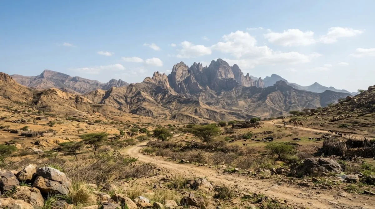
MorningArrei Mountains
Nature
This mountain range in the Ali Sabieh region of southern Djibouti reaches an average elevation of 1,301 meters, the region's highest point. Located near the Ethiopian border, it offers great trekking amid open highland scenery.
-
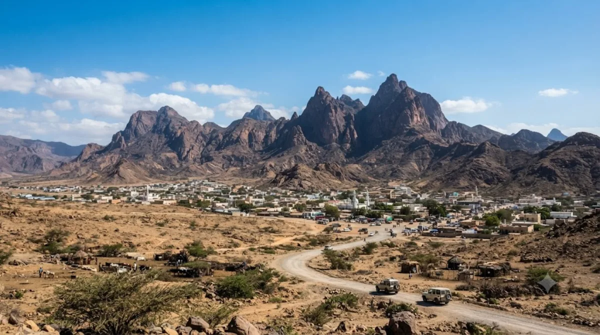
AfternoonMountain of Ali Sabieh
Nature · 9.8 km from the previous stop
This mountain rises above Ali Sabieh, a small town in southeastern Djibouti, and is considered the town's iconic landmark.
Where to stay for this itinerary
Around Arrei Mountains, the anchor of day one. Staying here keeps your first day's travel shortest.
-
Hôtel de la Palmeraie فندق لو بالماراي
9.9 km · Ali Sabieh علي صبيح
 Booking.com
 Hotels.com
Check prices and availability on the booking sites.
More stays in Ali Sabieh →Check flights to Ali Sabieh first
Pick a departure airport and date to jump straight to results for Djibouti-Ambouli International Airport (JIB).
Check fares and seat availability on the flight search site.
Tours & tickets for this itinerary
Popular sights often sell out on the day. Once your plan is set, secure tickets and tours in advance.
 GetYourGuide
 Klook
Klook
 Tiqets
 KKday
KKday
 WeGoTrip