Nature
Chicago River
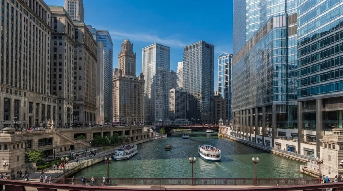
Chicago River
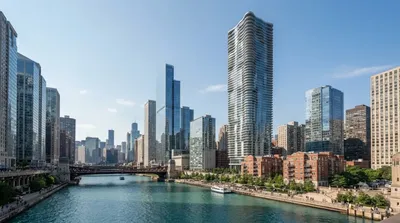
The Chicago River is a waterway that flows through the downtown area of the city. It is notable for its engineering history, as its flow was reversed via a canal system to move water away from Lake Michigan. Visitors go here to walk along the riverside paths, cross the various bridges, and view the city's architecture from the water.
Getting There
The river runs directly through the city centre (The Loop). Depending on your starting point downtown, it is accessible by foot within a few minutes. From other parts of the city, public transit via the CTA "L" trains or buses provides access to the riverfront in approximately 15 to 30 minutes.
Time Requirement
A walk along the main riverside walkways typically takes 1 to 2 hours. Those choosing to take a boat tour should allow an additional 1.5 to 2 hours.
When to Visit
The riverfront is most active during the spring, summer, and autumn. Winter temperatures in Chicago are low, which limits outdoor activity. The area becomes crowded during the summer months and on weekends. Early morning visits offer quieter walkways.
Nearby Attractions
The river is centrally located near several architectural landmarks. You can combine a visit with the following:
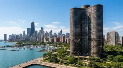
- Lake Point Tower (0.4km)
- Aqua (0.5km)
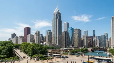
- Two Prudential Plaza (0.8km)
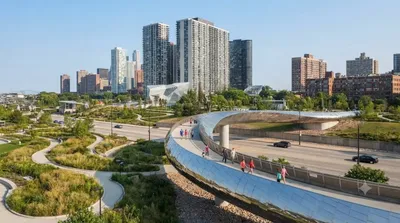
- BP Pedestrian Bridge (0.8km)
Updated September 8, 2026 · Edited by the World by City editors
 GetYourGuide
 Klook
Klook
 Tiqets
 KKday
KKday
 WeGoTrip
 Booking.com
 Hotels.com