Nature
Gambia River
Overview
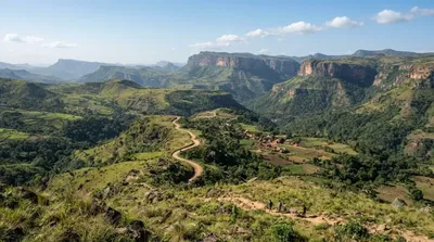
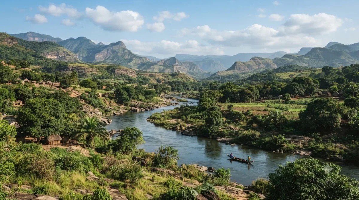
The Gambia River originates in the highlands of northern Guinea before flowing roughly 1,300 kilometers west toward the Atlantic Ocean. Near Labé, visitors can reach sections close to its headwaters in the plateau country. Travellers go to observe the early course of this major West African waterway and walk along rural river valleys.
Getting There
From central Labé, river access points and viewpoints can be reached by four-wheel-drive vehicle or motorcycle taxi along unpaved tracks. Travel time generally ranges from 30 to 60 minutes depending on the chosen route and track conditions.
Time to Allow
Allow two to three hours for a standard visit or walk along the banks. If planning an extended hike through the valley or visiting multiple viewpoints, set aside a half day.
When to Visit
The dry season from November to April offers the easiest travel conditions on dirt tracks. The rainy season from May to October brings heavy rainfall that makes access difficult. Mornings provide cooler temperatures for walking. The area does not experience tourist crowds.
Nearby Sights
The river can be combined with nearby attractions:
- Fouta Djallon (11.2 km): The surrounding highland plateau features canyons, waterfalls, and hiking routes across the watershed.
Updated September 8, 2026 · Edited by the World by City editors
 GetYourGuide
 Klook
Klook
 Tiqets
 KKday
KKday
 WeGoTrip
 Booking.com
 Hotels.com