Nature
Cerro de Chipinque
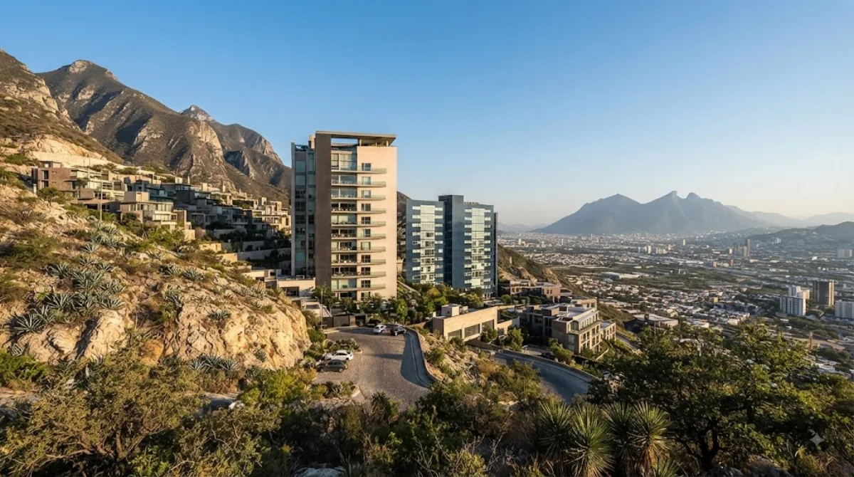
Cerro de Chipinque
Located within the Sierra Madre Oriental range, this peak reaches an elevation of 2,229 meters. It serves as a natural landmark for Monterrey, offering a network of trails for hiking and walking through canyons and valleys. Travelers visit the area primarily for outdoor exercise and to view the city from a high vantage point.
Getting There
The site is located on the outskirts of the city. From the city centre, it is most efficient to travel by car or ride-sharing service. Depending on traffic conditions, the drive typically takes between 30 and 50 minutes.
Duration of Visit
Visitors should allow between 3 and 6 hours to explore the area. The time required depends on the length of the hiking trails chosen and the amount of time spent at the various lookout points.
When to Visit
Morning visits are recommended to avoid the midday heat and higher temperatures. The area can become crowded on weekends and public holidays. During the rainy season, some trails may be affected by weather conditions.
Nearby Attractions
The location can be combined with other nearby points of interest:
- Alfa Planetarium (2.7km)
- Cerros de Enmedio (4km)
- Torre Avalanz (4.3km)
- Metropolitan Center Complex (4.6km)
Updated September 8, 2026 · Edited by the World by City editors
 GetYourGuide
 Klook
Klook
 Tiqets
 KKday
KKday
 WeGoTrip
 Booking.com
 Hotels.com