Nature
Serra da Cantareira
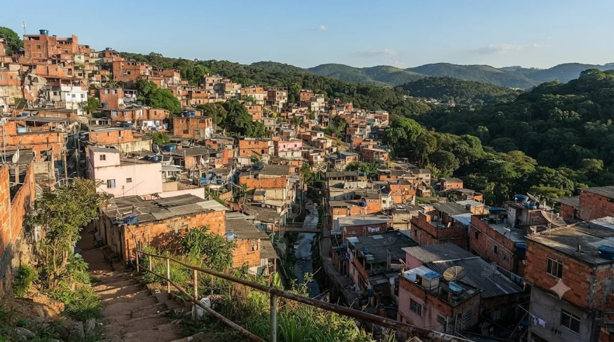
Overview
Serra da Cantareira is a mountain range located north of São Paulo. It features native Atlantic Forest vegetation and established hiking trails. Travellers visit primarily for outdoor walking, nature observation, and viewpoints like Pico do Jaraguá, which is the highest point in the city.
Getting There
From central São Paulo, driving or taking a taxi takes roughly 45 to 60 minutes depending on traffic conditions. Using public transit requires taking the metro north toward northern terminals, followed by a local bus connection or rideshare to reach the access points.
Time to Spend
Allow 3 to 5 hours for a standard trail walk and time at the lookouts. Plan for a full day if you intend to hike multiple routes across different sectors.
When to Visit
Mornings are best to avoid midday heat. The dry months from May to September provide the clearest visibility across the metropolitan basin, whereas summer afternoons frequently bring rain. The area gets crowded with local residents on weekends and holidays, so go on a weekday for quieter trails.
Nearby Attractions
You can pair a morning hike with cultural stops on your way back toward the central area:
- Tamanduateí River (14 km)
- São Paulo Museum of Sacred Art (14.9 km)
- Jardim da Luz (15.3 km)
- Pinacoteca de São Paulo (15.5 km)
Updated September 8, 2026 · Edited by the World by City editors
 GetYourGuide
 Klook
Klook
 Tiqets
 KKday
KKday
 WeGoTrip
 Booking.com
 Hotels.com