Nature
Tijuana River
Overview
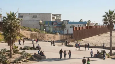
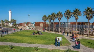
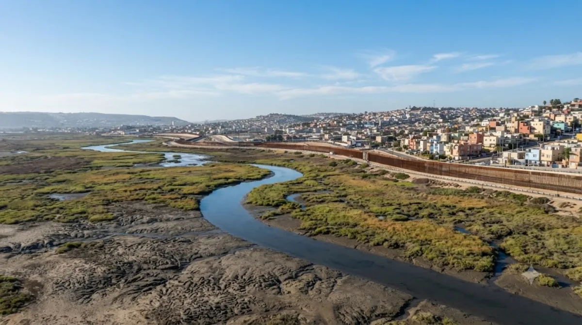
The Tijuana River is a binational waterway flowing through northwestern Mexico before crossing into the United States to reach the Pacific coast. Cutting through downtown Tijuana, it offers travellers a direct look at the border city's landscape and urban infrastructure.
Getting There
Accessing viewpoints along the water from central Tijuana takes about 10 to 20 minutes by car or taxi, depending on downtown traffic conditions.
Suggested Duration
Plan to spend roughly 30 to 45 minutes. Because this urban section is an engineered drainage channel rather than a recreational park, a brief stop is sufficient to view the area.
When to Visit
Visit during daylight hours for clear visibility and ease of navigation. Dry weather is preferable, as rain increases water runoff in the concrete channel. The site does not draw heavy tourist crowds, though surrounding roads experience standard commuter traffic during peak hours.
Nearby Attractions
You can combine a visit with other regional locations:
- Border Field State Park (2.4km) – Coastal park area along the international border.
- Friendship Park (2.4km) – Border gathering area situated near the coastline.
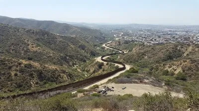
- Goat Canyon (2.5km) – Rugged border canyon terrain.
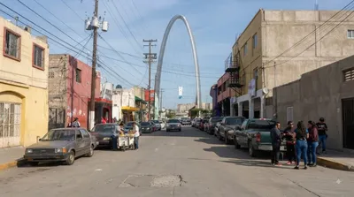
- Zona Norte (7.9km) – Central commercial and nightlife district in Tijuana.
Updated September 8, 2026 · Edited by the World by City editors
 GetYourGuide
 Klook
Klook
 Tiqets
 KKday
KKday
 WeGoTrip
 Booking.com
 Hotels.com