
Day trip
Yaren District 1-Day Itinerary (0 Nights)
A 1-day route through Yaren District grouped by daily travel distance for optimal sightseeing.
Distances are straight-line, so actual transit times will differ. Feel free to reorder the stops. · Updated August 15, 2026
The whole route at a glance
Map and place data © OpenStreetMap contributors Lines are straight connections, not actual routes.
DAY 1
Around Naoero · Nature
Directions in Google Maps-
MorningNaoero
Nature
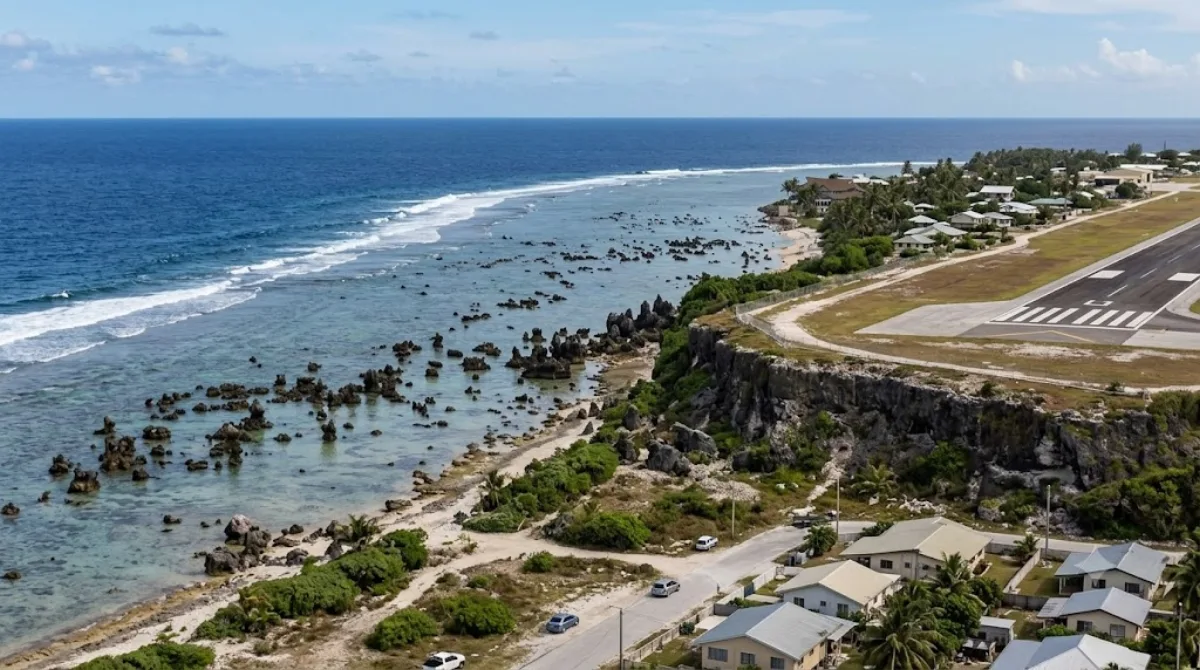
Nauru, officially the Republic of Naoero, formerly known as Pleasant Island, is an island country and microstate in the South Pacific Ocean. It lies within the Micronesia subregion of Oceania, with its nearest neighbour being Banaba about 300 kilometres (190 mi) to the east.
-
After lunchBuada Lagoon
Nature · 1.6 km from the previous stop
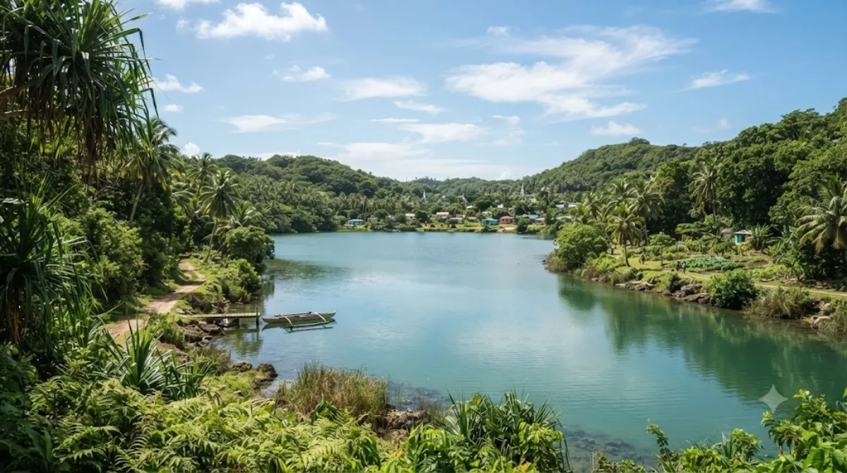
Buada Lagoon is a small inland lake in Nauru that grows deeper after heavy rainfall. It offers a peaceful natural setting on this small Pacific island nation.
-
AfternoonCommand Ridge
Nature · 0.8 km from the previous stop
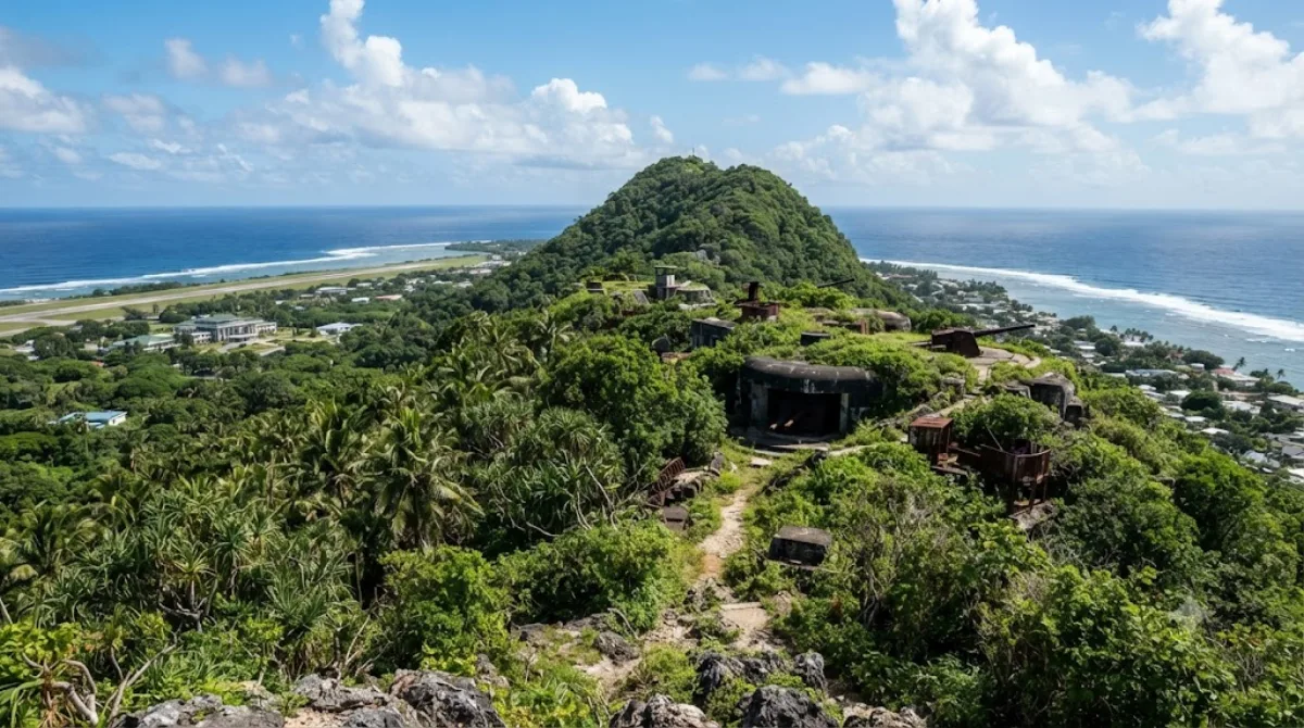
Command Ridge is Nauru's highest point, rising 65 meters above sea level. It's a popular viewpoint offering panoramic views of the whole island, drawing a steady stream of visitors.
-
EveningAnibare Bay
Nature · 4.3 km from the previous stop
Anibare Bay lies on the coast of Anibare District on the eastern side of Nauru. It's a great spot to relax while taking in the open ocean view.

Where to stay for this itinerary
Around Naoero, the anchor of day one. Staying here keeps your first day's travel shortest.
-
Menen Hotel
2.5 km
-
Ewa Lodge
2.7 km
-
Aiwo Hotel
2.9 km
-
Budapest
3.0 km
 Booking.com
 Hotels.com
Check prices and availability on the booking sites.
More stays in Yaren District →Check flights to Yaren District first
Pick a departure airport and date to jump straight to results for Nauru International Airport (INU).
Check fares and seat availability on the flight search site.
Tours & tickets for this itinerary
Popular sights often sell out on the day. Once your plan is set, secure tickets and tours in advance.
 GetYourGuide
 Klook
Klook
 Tiqets
 KKday
KKday
 WeGoTrip