World by City

Natur

응우하인선

Ngũ Hành Sơn

응우하인선

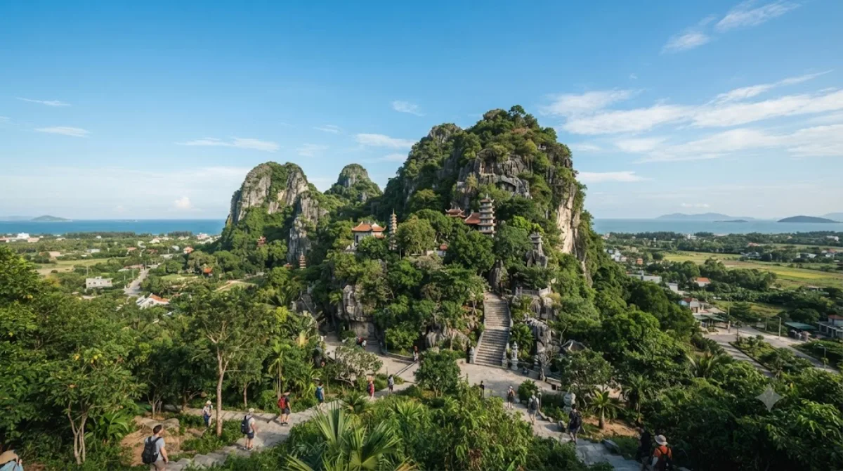
응우하인선(베트남어: Ngũ Hành Sơn, 五行山, 오행산)은 베트남 중부의 다낭시의 남부에 있는 응우하인선군에 위치한 5개의 대리석과 석회암 언덕이다. 1990년 베트남 문화체육관광부는 응우하인선을 문화 역사 국가 수준으로 지정했다.

What it is

Ngũ Hành Sơn, known in English as the Marble Mountains, is a group of five limestone and marble hills rising abruptly out of flat coastal land south of Da Nang. Each hill is named for one of the five elements: Kim (metal), Thủy (water), Mộc (wood), Hỏa (fire) and Thổ (earth). Thủy Sơn, the largest and most visited, has stairways leading through caves and grottoes to Buddhist pagodas and shrines built into the rock, along with viewpoints over the coastline. Some caves contain natural skylights and have been used as places of worship for centuries. The area is also known for stone-carving workshops at its base, where marble and stone souvenirs are made and sold.

Getting there

The mountains sit south of central Da Nang, roughly a 20-30 minute drive from the city centre or from My Khe Beach, depending on traffic. Taxis and ride-hailing apps are the most straightforward option; some visitors combine the trip with a rented motorbike ride along the coastal road.

How much time to allow

Plan for at least two to three hours to climb Thủy Sơn, visit the main caves and pagodas, and take in the viewpoints. Add extra time if you want to browse the marble and stone workshops at the mountain's base.

When to go

Mornings tend to be cooler and less crowded, which matters since much of the visit involves climbing stairs in the open air. The site draws tour groups, so midday and weekends can get busy, especially inside the more popular caves. Rain can make stone steps slippery, so footwear with grip is worth considering.

Combining with nearby sights

  • Sông Vĩnh Điện (4.1km) is close enough to combine with a return trip toward the city.
  • Tiên Sơn Bridge (4.7km) lies along the route back toward central Da Nang.
  • Tran Thi Ly Bridge (6.5km) and the Zone 5 Military Museum (7km) can both be worked into a half-day loop back into the city, depending on your interest in history versus scenery.

Quellen: offene Daten von Wikipedia und OpenStreetMap · Aktualisiert 5. August 2026 · Redaktion die World by City-Redaktion

Tickets & Touren

Eintrittspreise und Öffnungszeiten ändern sich häufig und stehen daher nicht hier. Unten sehen Sie, was gerade angeboten wird – vorab buchen spart mancherorts Wartezeit.

Dieser Ort erscheint womöglich nicht in den Ergebnissen – manche Ziele sind kostenlos oder verkaufen nur vor Ort.

Unterkünfte nahe 응우하인선

Nach Entfernung sortiert, fußläufige zuerst. Angaben als Luftlinie.

Karte © OpenStreetMap-Mitwirkende. Linien sind Luftlinien, keine echten Routen.

응우하인선 Unterkünfte in der Nähe

Lage und Namen stammen aus OpenStreetMap. Preise und Verfügbarkeit bitte auf den Buchungsseiten prüfen.

Passt gut dazu

Sông Vĩnh Điện

Natur

Sông Vĩnh Điện

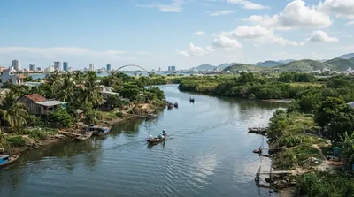
The Vĩnh Điện River, Cái River, or Đò Toản River is a river of the municipality of Da Nang, Vietnam. It connects the Thu Bồn with the delta of the Vu Gia.

4.1 km entfernt

Tiên Sơn Bridge

Aussicht & Wahrzeichen

Tiên Sơn Bridge

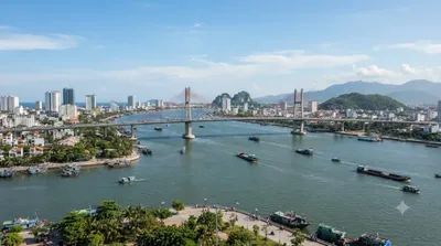
Tiên Sơn Bridge is a bridge completed in 2004 spanning the Han River in the city of Da Nang, Vietnam. It is a prestressed concrete box girder bridge 529 m long, connecting the Tien Sa Port to the National Road 14B across Southeast Asia.

4.7 km entfernt

Trần-Thị-Lý-Brücke

Aussicht & Wahrzeichen

Trần-Thị-Lý-Brücke

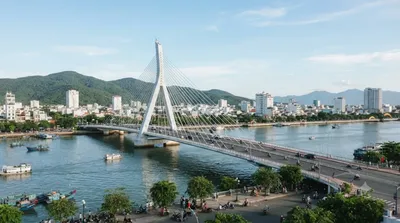
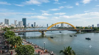
Die Trần-Thị-Lý-Brücke, vietnamesisch Cầu Trần Thị Lý, überquert den Fluss Han im Zentrum von Đà Nẵng in Vietnam.

6.5 km entfernt

Nguyen Van Troi Bridge

Aussicht & Wahrzeichen

Nguyen Van Troi Bridge

Nguyen Van Troi Bridge is a bridge spanning the Han River in the city of Da Nang, Vietnam. The bridge was built by an American company in 1965. Constructed by the American contractor RMK [RMK-BRJ], the 513 meters bridge was the first bridge designed for vehicles crossing the Han River to transport weapons.

6.6 km entfernt

Zone 5 Military Museum

Museen & Galerien

Zone 5 Military Museum

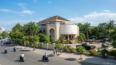
The Zone 5 Military Museum is a military museum located at 3 Duy Tân, Da Nang, Vietnam. It covers all Vietnamese resistance to foreign occupation from the Chinese occupation, the First Indochina War with the French, the Vietnam War and the current standoff with China over the Spratly Islands and the Paracel Islands.

7.0 km entfernt

Drachenbrücke

Aussicht & Wahrzeichen

Drachenbrücke

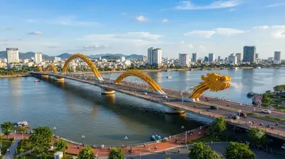
Die Drachenbrücke, vietnamesisch Cầu Rồng, überquert den Fluss Han im Zentrum von Đà Nẵng in Vietnam. Sie ist die sechste und neueste Brücke über den Han und bietet eine direkte Verbindung zwischen dem internationalen Flughafen Da Nang und den Hotels am My-Khe-Strand.

7.7 km entfernt