Natur
Sōsei-Fluss
Sōsei River
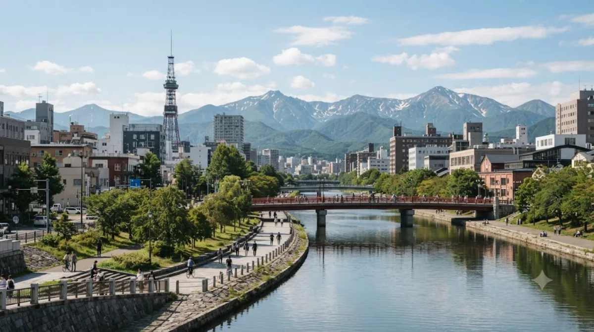
Der Sōsei-Fluss in Sapporo
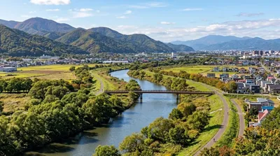
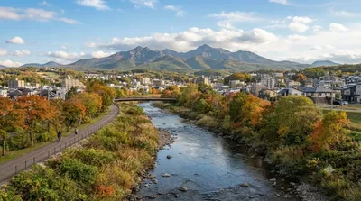
Der Sōsei-Fluss ist ein künstlicher Wasserweg, der durch das Zentrum von Sapporo fließt. Er wurde in den späten 1860er Jahren angelegt und diente als eine der ersten Infrastrukturmaßnahmen bei der Stadtplanung. Heute markiert der Fluss die Grenze zwischen den östlichen und westlichen Stadtteilen im rasterförmigen Adresssystem der Stadt. Reisende besuchen das Gebiet primär für Spaziergänge entlang der Uferpromenaden im Stadtkern.
Anreise und Zeitaufwand
Da der Fluss direkt durch das Zentrum von Sapporo verläuft, ist er von den meisten zentralen Hotels und Bahnhöfen aus zu Fuß erreichbar. Die Gehzeit beträgt je nach Startpunkt im Zentrum nur wenige Minuten. Für einen Spaziergang entlang der zentralen Abschnitte sollten etwa ein bis zwei Stunden eingeplant werden.
Beste Besuchszeit
Der Bereich ist zu jeder Tageszeit zugänglich. In den Abendstunden ist die Uferpromenade oft belebt, da sie an viele Geschäfts- und Gastronomieviertel grenzt. Je nach Jahreszeit verändert sich das Erscheinungsbild, insbesondere während der Wintermonate in Hokkaido. In den belebten Einkaufsstraßen in Flussnähe kann es zu Stoßzeiten sehr voll werden.
Kombinationsmöglichkeiten
In der näheren Umgebung befinden sich weitere Wasserwege und Parks, die mit dem Fluss kombiniert werden können:
- Hassamu River: 1,2 km entfernt
- Fushiko River: 1,8 km entfernt
- Sapporo Satoland: 6,9 km entfernt
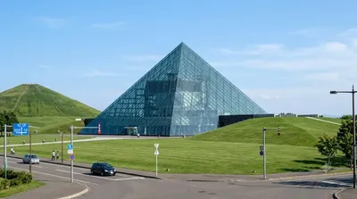
- Moerenuma Park: 7,5 km entfernt
Aktualisiert 20. September 2026 · Redaktion die World by City-Redaktion
 GetYourGuide
 Klook
Klook
 Tiqets
 KKday
KKday
 WeGoTrip
 Booking.com
 Hotels.com