Nature
Sōsei River
Sōsei River
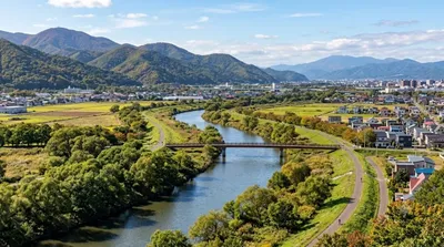
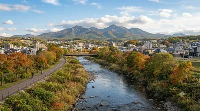
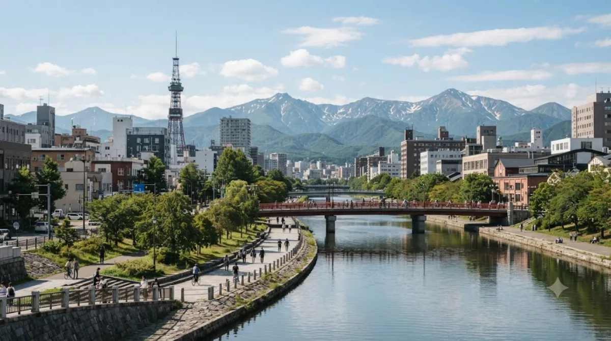
The Sōsei River is a man-made waterway running through central Sapporo, built in the late 1860s under Otomo Kametaro as one of the first infrastructure projects on the city site. Rather than a scenic destination in itself, it functions as a green corridor and orientation point: it marks the dividing line between east and west in Sapporo's grid-based street numbering, so it's useful to know about even if you're not visiting it on purpose. Paths along parts of the river make for an easy walk between other central-city stops.
Getting there
The river runs close to downtown Sapporo, and stretches of it are within easy walking distance of the central grid, including areas near Odori and the Susukino district. Depending on where you're staying, expect a walk of roughly 10-20 minutes from the main downtown core.
How much time to allow
There's no single "site" to tour — most visitors pass through or along it for 20-30 minutes as part of a longer walk through central Sapporo, rather than visiting it as a standalone stop.
When to go
As an open riverside path rather than an enclosed attraction, it doesn't have the crowding issues of a typical sight. A daytime walk is straightforward year-round, though Hokkaidō winters bring snow and ice underfoot, so footing along the banks needs more care from December through March.
Combine it with
- The Hassamu River, about 1.2km away, for another stretch of Sapporo's waterway network
- The Fushiko River, roughly 1.8km away, if you're exploring the city's rivers more broadly
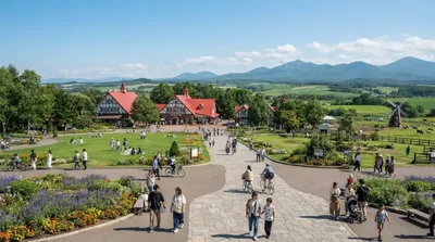
- Sapporo Satoland, about 6.9km out, for a farm-park visit if you have a full day
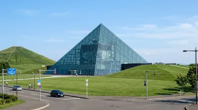
- Moerenuma Park, around 7.5km away, as a longer excursion combining art and green space
Updated September 20, 2026 · Edited by the World by City editors
 GetYourGuide
 Klook
Klook
 Tiqets
 KKday
KKday
 WeGoTrip
 Booking.com
 Hotels.com