展望・ランドマーク
ピンクラオ橋
Phra Pin-klao Bridge
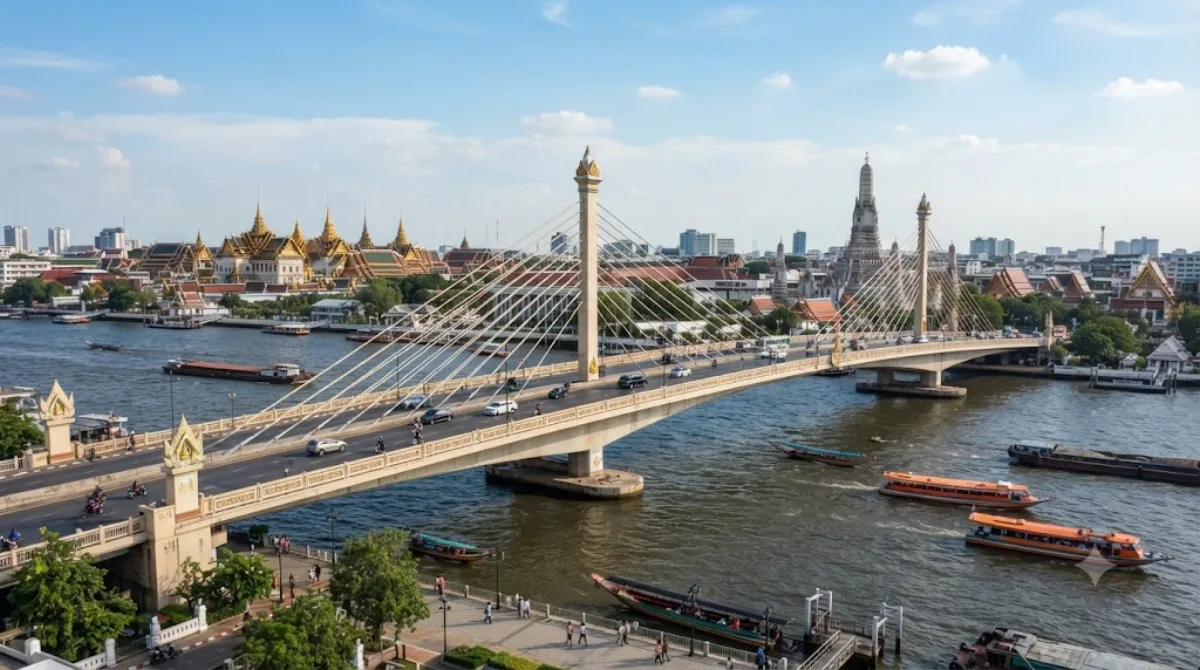
ピンクラオ橋 とは、タイ・バンコクのチャオプラヤ川にかかる橋。全長は658m。 1851~1866年にタイのvice-kingであった、ピンクラオ(Pinklao)にちなんで名づけられた。1973年9月24日開通。
Crossing the Chao Phraya at Rattanakosin
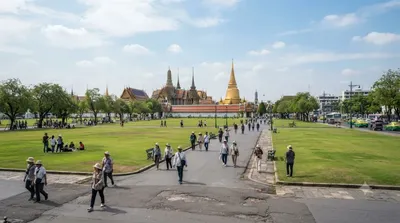
The Somdet Phra Pin-klao Bridge is a road bridge over the Chao Phraya River, connecting Rattanakosin Island (the old royal district, near the Grand Palace) with Thonburi on the opposite bank. It's not a sightseeing destination in itself, but it's worth knowing about because of what it offers along the way: open views up and down the river, with boat traffic, the skyline, and glimpses of temple spires from the pedestrian walkway on either side.
Getting there
The bridge sits on the edge of the historic district, within walking distance of the main Rattanakosin sights. From central Bangkok, the most practical approach is by river — take the Chao Phraya Express Boat to a pier near the Grand Palace or National Museum area, then walk a few minutes to the bridge. By taxi or ride-hail from areas like Sukhumvit or Silom, allow roughly 30–45 minutes depending on traffic, which can be heavy near the river crossings.
How long to spend
Most travellers only need 10–20 minutes here, enough to walk partway across for the view and take photos. It works best as a short stop rather than a planned outing.
When to go
Late afternoon into early evening gives softer light and cooler temperatures for walking. Traffic on the bridge itself is heavy for much of the day, so the pedestrian path is more pleasant than the roadway. Avoid the middle of the day in the hot season, when there's little shade.
Combine it with
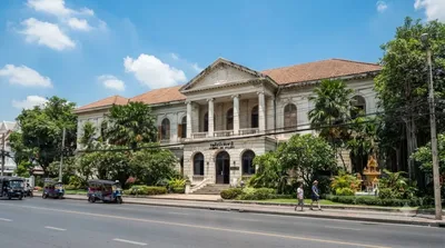
- National Art Gallery (0.4km) – a short walk away, easy to pair with a bridge visit.
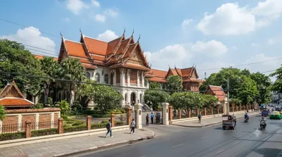
- Bangkok National Museum (0.5km) – covers Thai history and art, worth more time.
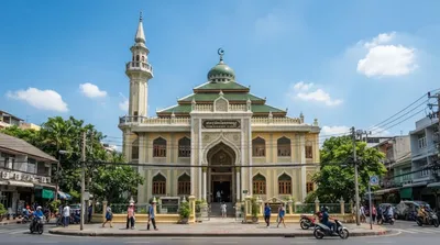
- Chakraphong Mosque (0.6km) – a quieter stop nearby.
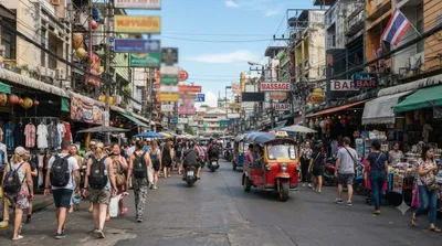
- Khaosan Road (0.7km) – for food, shopping, and evening atmosphere after sightseeing.
出典:ウィキペディア・OpenStreetMap の公開データ · 2026年8月5日 更新 · 編集 World by City 編集部