遺跡・記念物
戦勝記念塔
Victory Monument
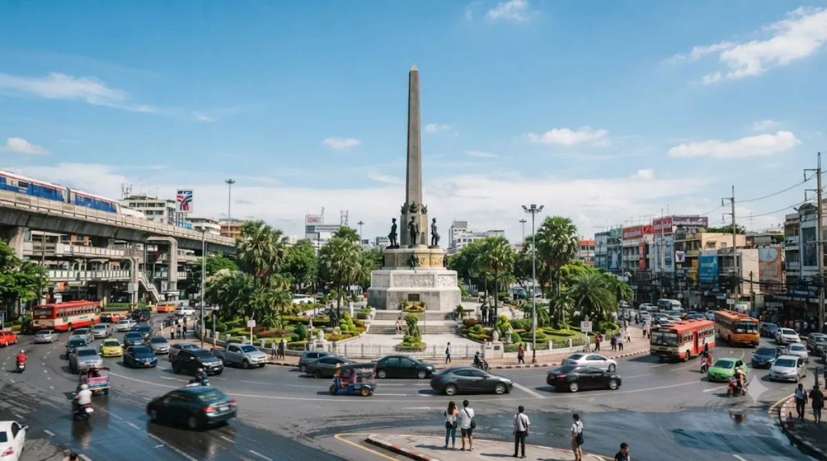
전승기녑탑(태국어: อนุสาวรีย์ชัยสมรภูมิ)은 태국 방콕 랏차테위 지역에 있는 기념탑이다. 1940년에 일어난 프랑스-태국 전쟁에서 프랑스군과 싸워 전몰한 태국군 병사를 위령하기 위해 1941년에 방콕에 지어졌다. 이 탑은 빠혼요틴 거리와 랏차테위 대로가 교차하는 곳에 위치하고, 주위는 회전식으로 되어있다.
Victory Monument
Victory Monument is a military obelisk marking the Thai victory in the 1940–41 Franco-Thai War over French Indochina. It stands at the center of a large traffic circle where Phahonyothin, Phaya Thai, and Ratchawithi roads meet in Ratchathewi district. Most travellers see it in passing rather than as a dedicated stop — it's more useful as a transport hub and orientation point than a sightseeing destination, though the base carries relief sculptures of soldiers worth a brief look if you're already in the area.
Getting there
The easiest approach is the BTS Skytrain to Victory Monument station (N3) on the Sukhumvit Line, elevated above Phaya Thai road. From central Bangkok stops such as Siam or Asok, the ride takes roughly 10–15 minutes. The traffic circle itself is a major bus and minivan interchange, so it's also a common transfer point if you're heading further north.
How much time to allow
Ten to fifteen minutes is enough to view the monument and its surrounding plaza. Crossing to the monument requires using the elevated pedestrian walkways connected to the BTS station, since the traffic circle itself is not pedestrian-friendly at street level.
When to go
Traffic around the circle is heavy for most of the day, and the area is busiest during weekday rush hours when commuters pass through the transport hub. An early morning or evening visit avoids the worst of the congestion and heat.
Combine it with
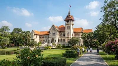
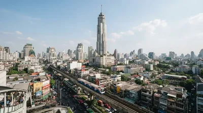
Phaya Thai Palace (0.7km) and Suan Pakkad Palace (0.9km) are both within easy walking or short taxi distance and make more substantial stops than the monument itself. Baiyoke Tower II (1.2km) and Pratunam Market (1.6km) are also nearby, making this area a practical base for combining a few sights in one outing.
出典:ウィキペディア・OpenStreetMap の公開データ · 2026年8月5日 更新 · 編集 World by City 編集部