自然
란섬
Ko Lan
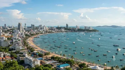
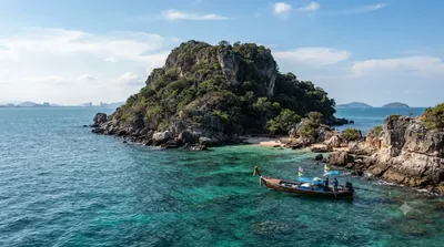
란섬(태국어: เกาะ ล้าน, 발음 [kɔʔ LAN])의 태국 동부 해안에 위치한 섬 중 하나이다. 란섬은 가장 가까운 해안인 파타야에서 7.5km 떨어져 있다. "Ko Lan"은 태국 왕실 일반표기법에 의한 섬 이름이다. 그 외에도 Koh Larn 또는 Ko Laan이라고 표기하기도 한다.
What it is
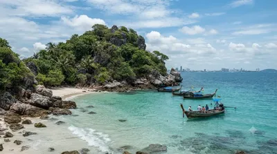
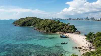
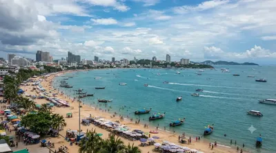
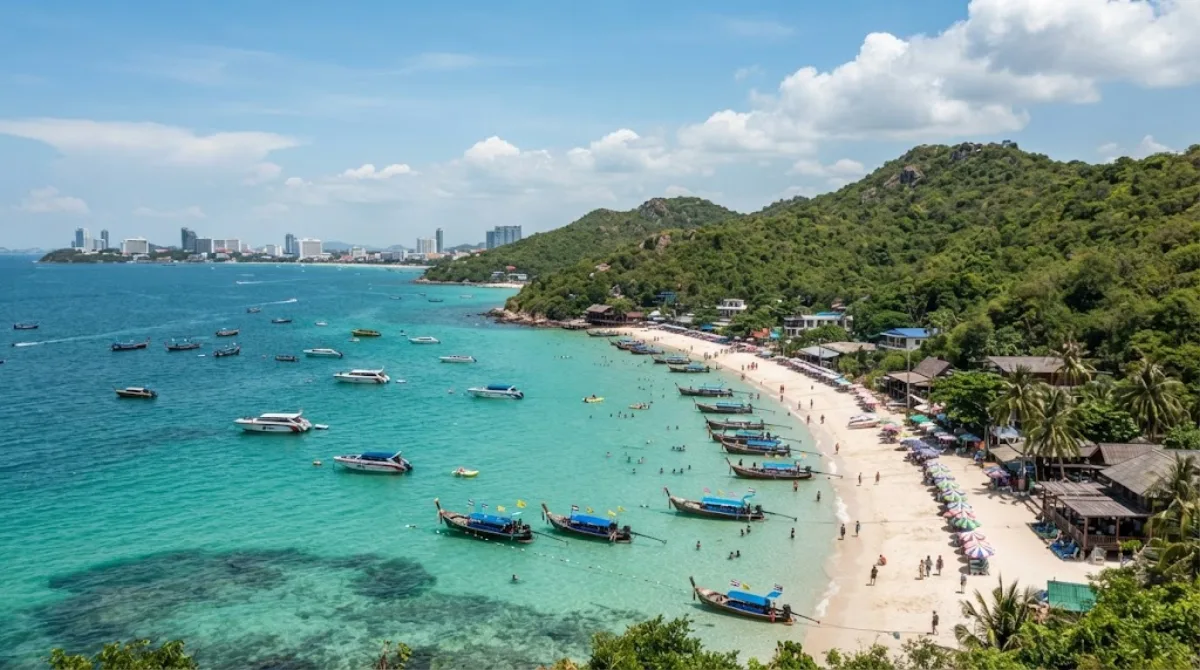
Ko Lan (also spelled Koh Larn or Ko Laan) is a small island off the coast of Pattaya, mainly visited for its beaches rather than any historic or cultural sites. The appeal is straightforward: clearer, calmer water than the mainland beaches at Pattaya, with several sandy coves spread around the island, each with a slightly different character — some quieter, others lined with beach chairs, food vendors, and watersports operators.
Getting there
Boats run from Pattaya's Bali Hai Pier. The regular passenger ferry takes roughly 45 minutes to an hour depending on which beach you're headed to, since some ferries stop at Na Ban or Tawaen beach directly. Speedboats are also available and cut the crossing to around 15-20 minutes, at a higher cost, and can usually drop you at the beach of your choice.
How much time to allow
A single day trip is enough to enjoy one or two beaches, have lunch, and take an evening ferry back. If you want to explore more of the island's coves or simply prefer a slower pace, an overnight stay gives more breathing room, since the last ferries back to Pattaya run in the early evening.
When to go
Mornings tend to be calmer before day-tripper crowds build up around midday, especially on weekends and Thai public holidays when boats and beaches get noticeably busier. The rainy season (roughly May to October) can bring choppier crossings and less predictable weather, so the cooler, drier months are generally more comfortable for a beach day.
Combining with nearby sights
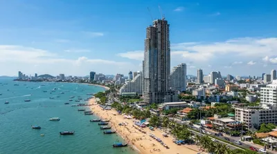
Ko Khrok (3.3km) and Ko Sak (3.5km) are small islands close to Ko Lan and are sometimes included on speedboat or snorkeling trips launched from the island. Back on the mainland, Ocean 1 Tower (10.3km) and All Saints Church (13.4km) are both in Pattaya proper and make more sense as a separate outing before or after your island day, rather than combined with it directly.
出典:ウィキペディア・OpenStreetMap の公開データ · 2026年8月5日 更新 · 編集 World by City 編集部