Nature
Marigot Point
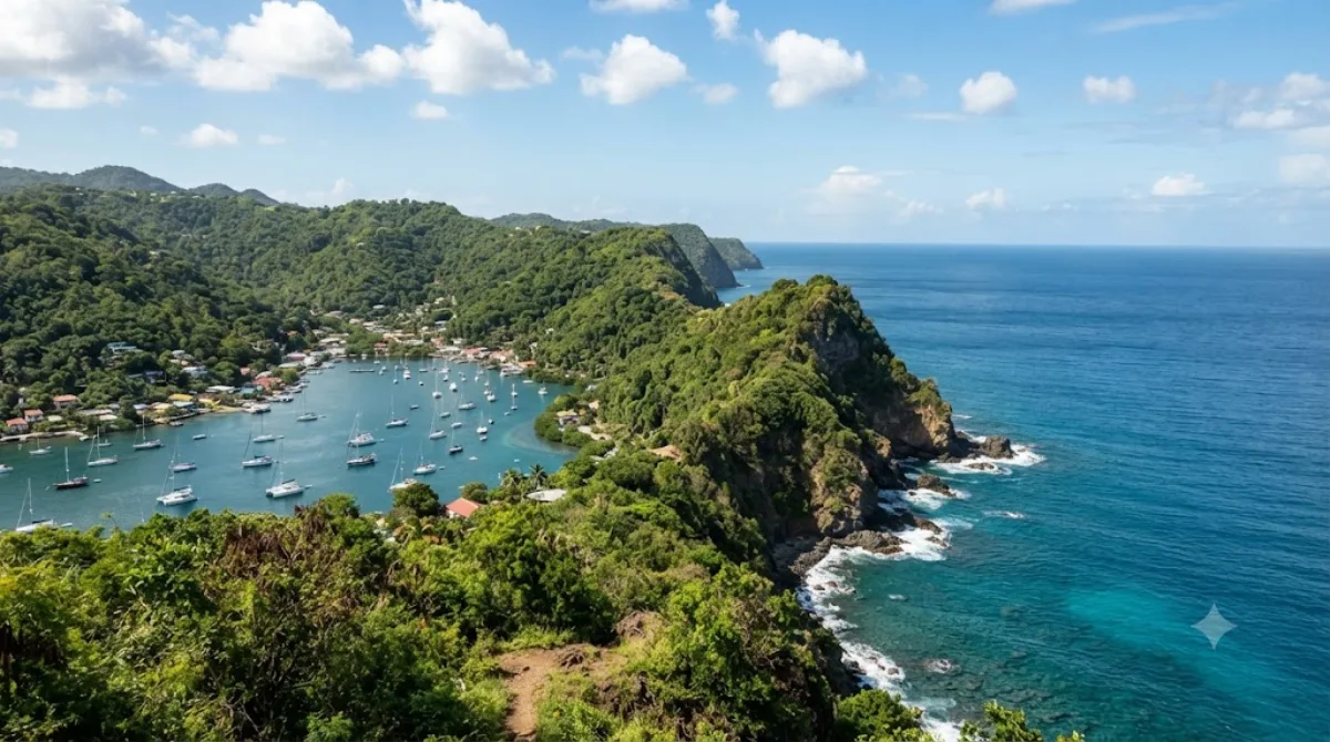
Marigot Point
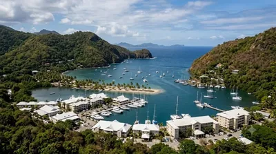
Marigot Point is a headland located on the west coast of Saint Lucia, situated on the slopes of Mont Belvue. Visitors go here primarily for the elevated vantage point, which provides a wide view of the surrounding coastline and the waters of Marigot Bay below.
Getting There
The point is located near Castries. Travelers can reach the site by car or taxi from the city center. The drive typically takes approximately 15 to 20 minutes, depending on traffic conditions.
Duration of Visit
Since the site is primarily a scenic lookout, most visitors spend between 30 minutes and one hour at the point to observe the landscape and take photographs.
When to Visit
Morning or late afternoon visits are recommended to avoid the midday heat. The site is generally less crowded than the beach areas below, though it may see more visitors during the peak winter tourist season.
Nearby Attractions
The location can be combined with other nearby natural sites to create a full day itinerary:
- Marigot Bay (0.8km): A short distance away for those wishing to visit the waterfront.
- Mount Terr Fallée (2.4km): An option for those seeking further elevation.
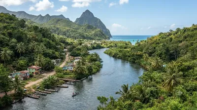
- Roseau River (2.7km): A nearby river location.
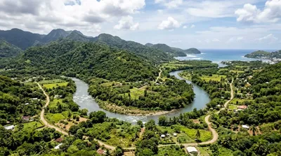
- Cul de Sac River (3.5km): Another local waterway accessible by a short drive.
Updated September 8, 2026 · Edited by the World by City editors
 GetYourGuide
 Klook
Klook
 Tiqets
 KKday
KKday
 WeGoTrip
 Booking.com
 Hotels.com