Nature
Cul de Sac River
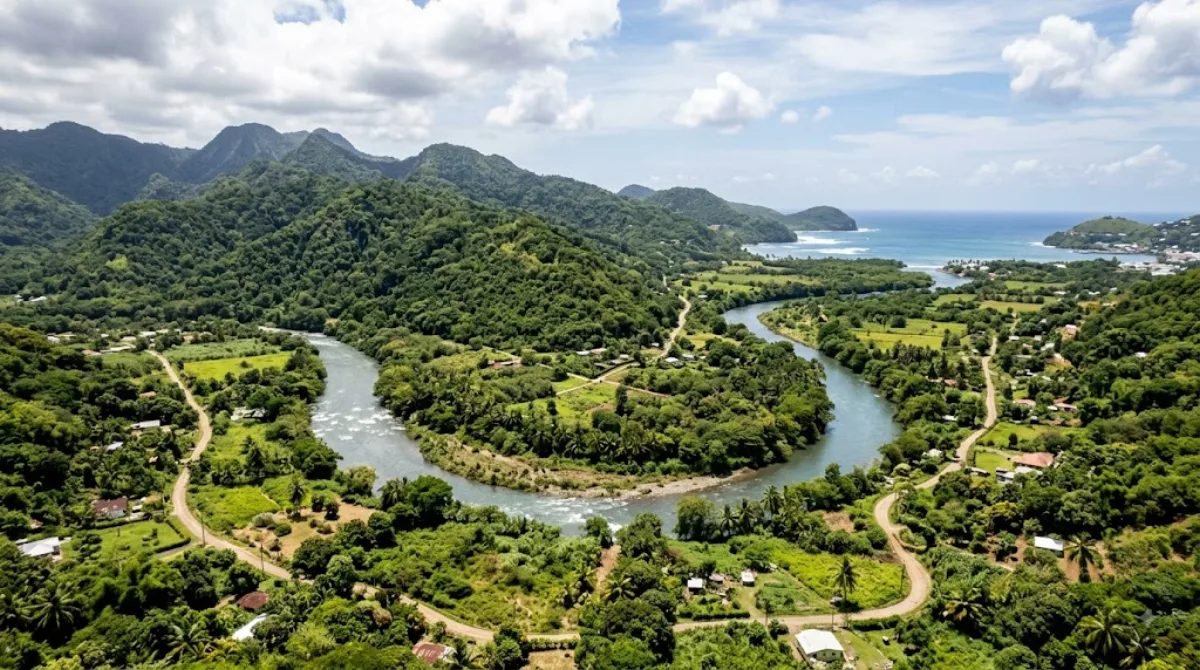
Cul de Sac River
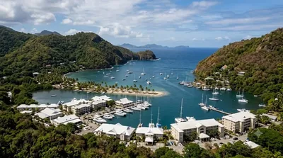
The Cul de Sac River is one of the longest rivers in Saint Lucia. It originates in the central highlands and flows northwest, eventually emptying into the Caribbean Sea at Grand Cul de Sac Bay. Travelers visit this area to observe the island's river systems and the natural landscapes that surround the waterway as it moves toward the coast.
Getting There
The river is located south of Castries. From the city centre, it is accessible via local taxi or rental car. The drive to the areas surrounding the river and the bay typically takes approximately 10 to 15 minutes depending on traffic conditions.
Duration of Visit
Depending on whether you are visiting the riverbanks for a short walk or exploring the surrounding bay area, allow 1 to 3 hours for a visit.
When to Visit
The river is accessible year-round. Visiting during the morning hours is recommended to avoid the midday heat. During the rainy season, water levels in the river rise significantly, which may affect accessibility in certain sections.
Nearby Attractions
The river's location allows for easy combination with other sites in and around Castries:
- Mount Terr Fallée: 2.5km away
- Castries Quarter: 2.9km away
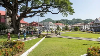
- Derek Walcott Square: 3km away
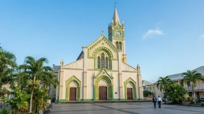
- Cathedral Basilica of the Immaculate Conception: 3.1km away
Updated September 8, 2026 · Edited by the World by City editors
 GetYourGuide
 Klook
Klook
 Tiqets
 KKday
KKday
 WeGoTrip
 Booking.com
 Hotels.com