
3 nights, 4 days
Castries 4-Day Itinerary (3 Nights)
A 4-day route through Castries grouped by daily travel distance for optimal sightseeing.
Distances are straight-line, so actual transit times will differ. Feel free to reorder the stops. · Updated August 15, 2026
The whole route at a glance
Map and place data © OpenStreetMap contributors Lines are straight connections, not actual routes.
DAY 1
Around Saint Lucia · Nature·Shopping & districts
Directions in Google Maps-
MorningSaint Lucia
Nature
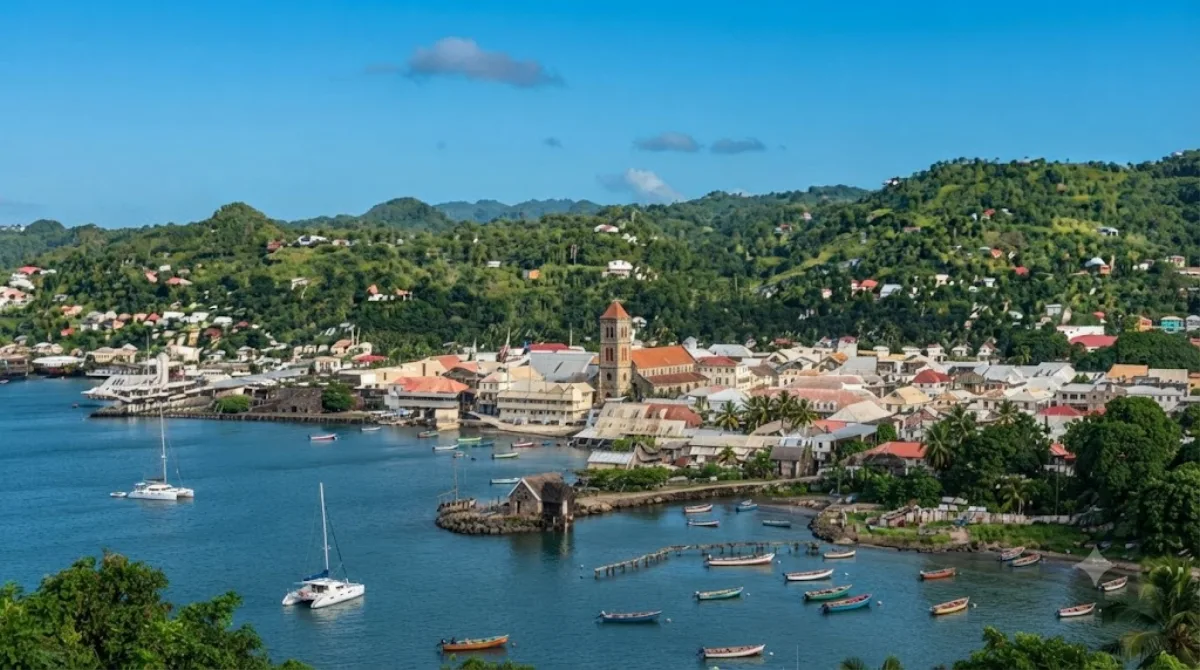
Saint Lucia is an island country in the eastern and southern Caribbean. Part of the Windward Islands of the Lesser Antilles, it is located north/northeast of the island of Saint Vincent, northwest of Barbados and south of Martinique. It covers a land area of 617 km2 (238 sq mi) with an officially estimated population of over 184,100 people as of mid 2023. The nation's capital and largest city is Castries.
-
After lunchRoseau River
Nature · 5.2 km from the previous stop
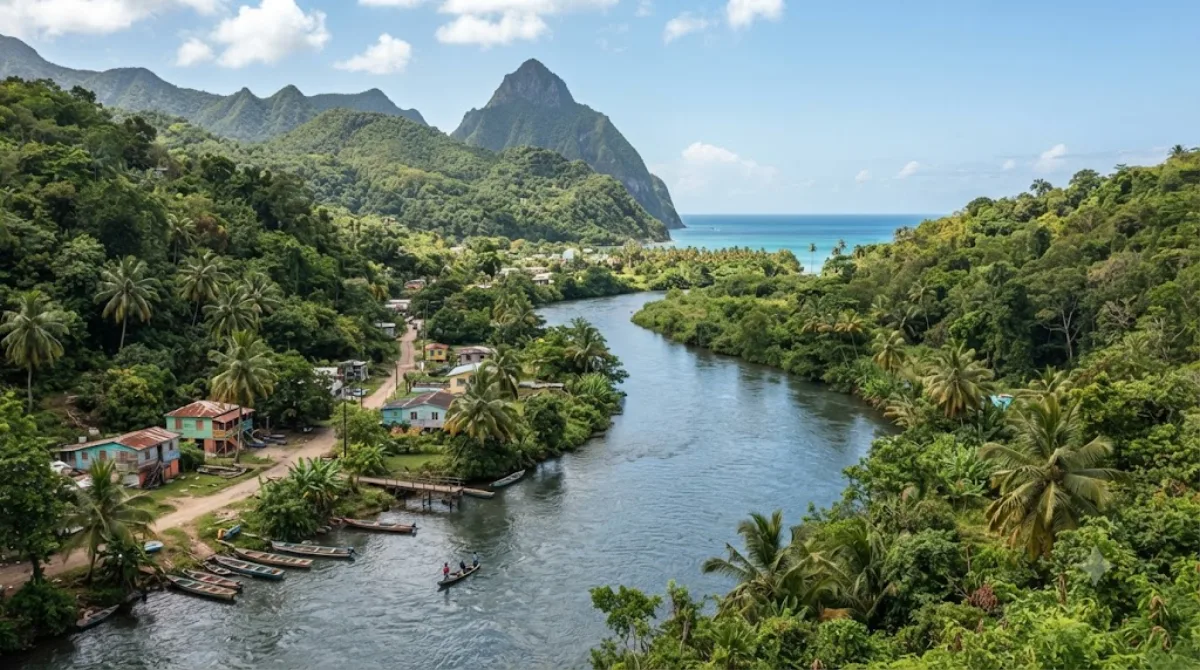
The Roseau River is Saint Lucia's longest river, rising in the island's central highlands and flowing into the Caribbean Sea. Its course continues downstream to the area around the John Compton Dam.
-
AfternoonMarigot Bay
Nature · 2 km from the previous stop
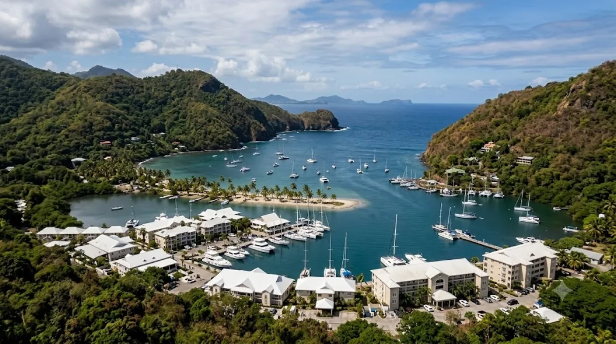
Marigot Bay is located on the west coast of Saint Lucia, close to Castries. Steep, densely forested hills surround it on three sides, creating beautiful scenery.
-
EveningAnse la Raye Quarter
Shopping & districts · 5.6 km from the previous stop
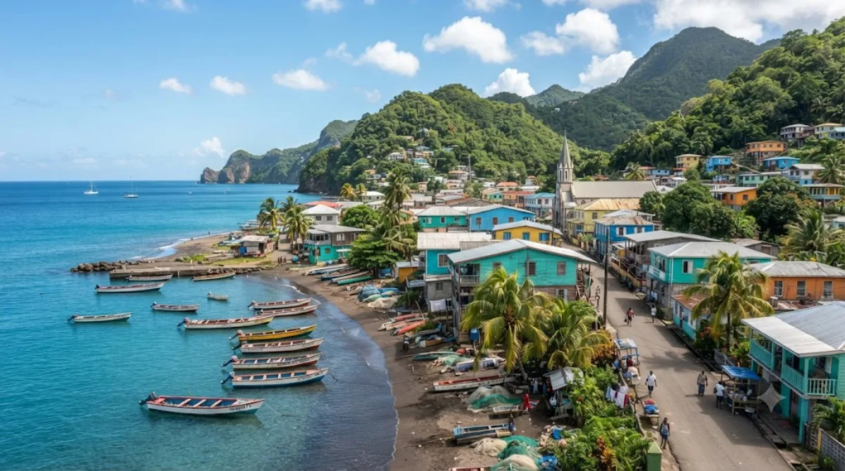
Anse la Raye is a district in western Saint Lucia, covering 31 km² with a population of 6,071 (as of 2001).
DAY 2
Around Mabouya Valley · Nature·Shopping & districts
Directions in Google Maps-
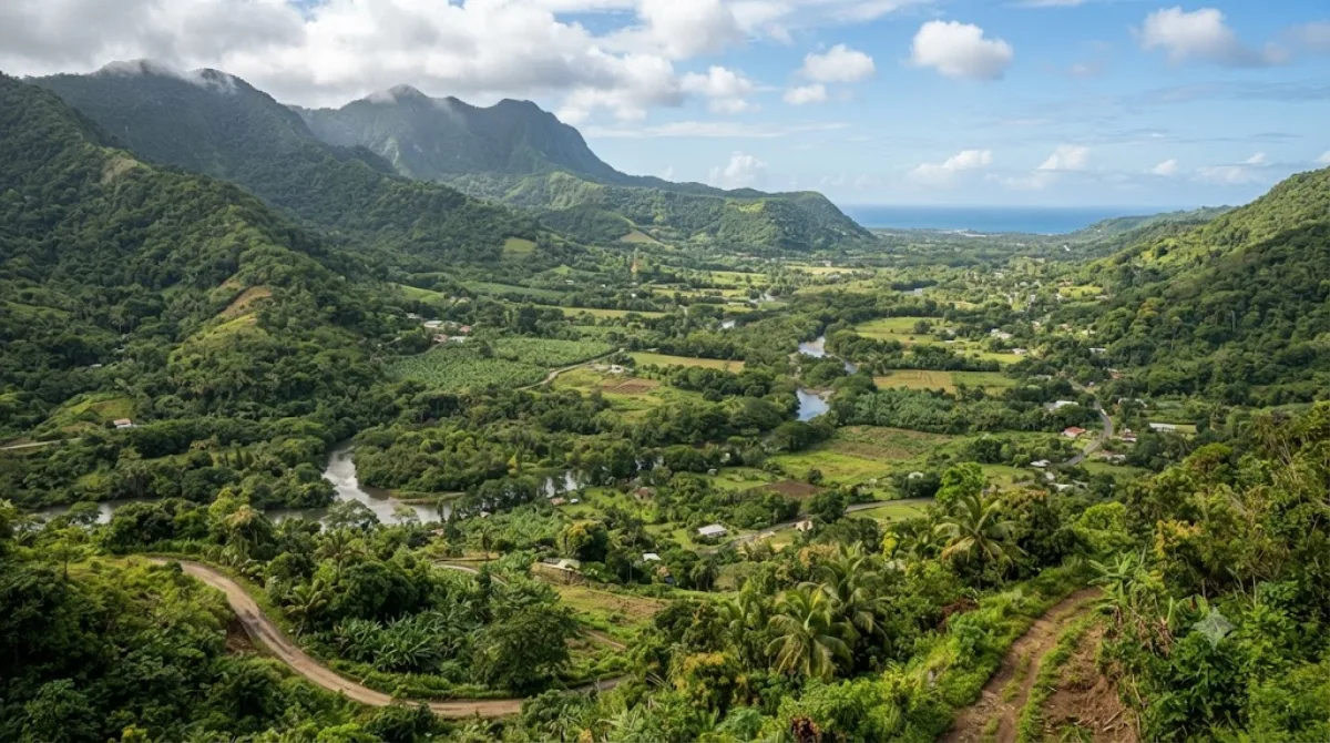
MorningMabouya Valley
Nature
A valley in the Dennery district of eastern Saint Lucia, where two rivers wind through lush forest and farmland. Many visitors come for the hiking trails that thread between the green hills.
-
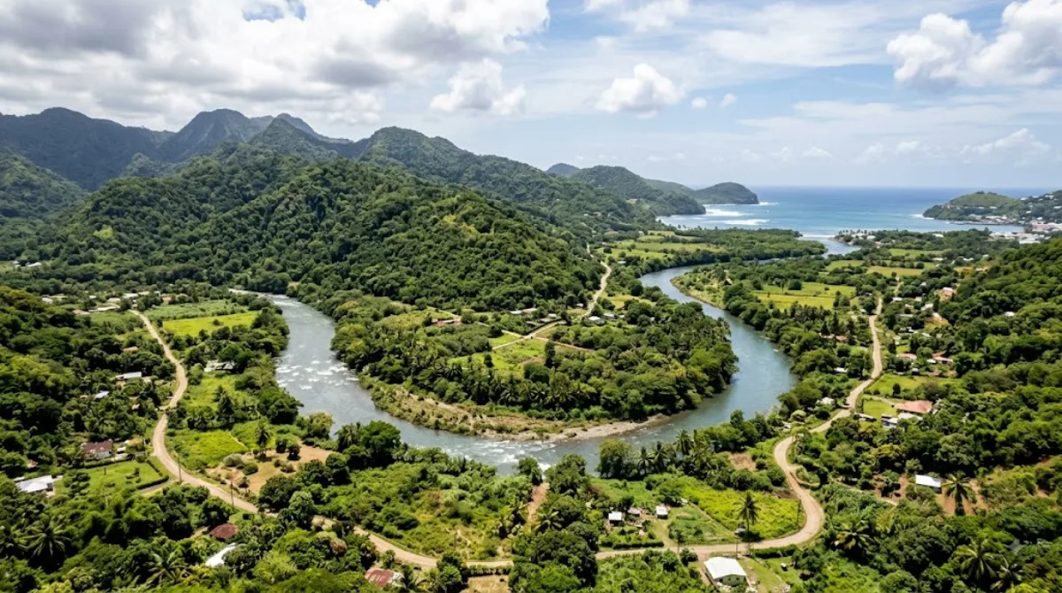
After lunchCul de Sac River
Nature · 9.1 km from the previous stop
This river rises in the central highlands of Saint Lucia and flows north and west, meeting the Caribbean Sea at Grand Cul de Sac Bay south of Castries. It's one of the island's longest rivers, offering scenic natural views along its course.
-
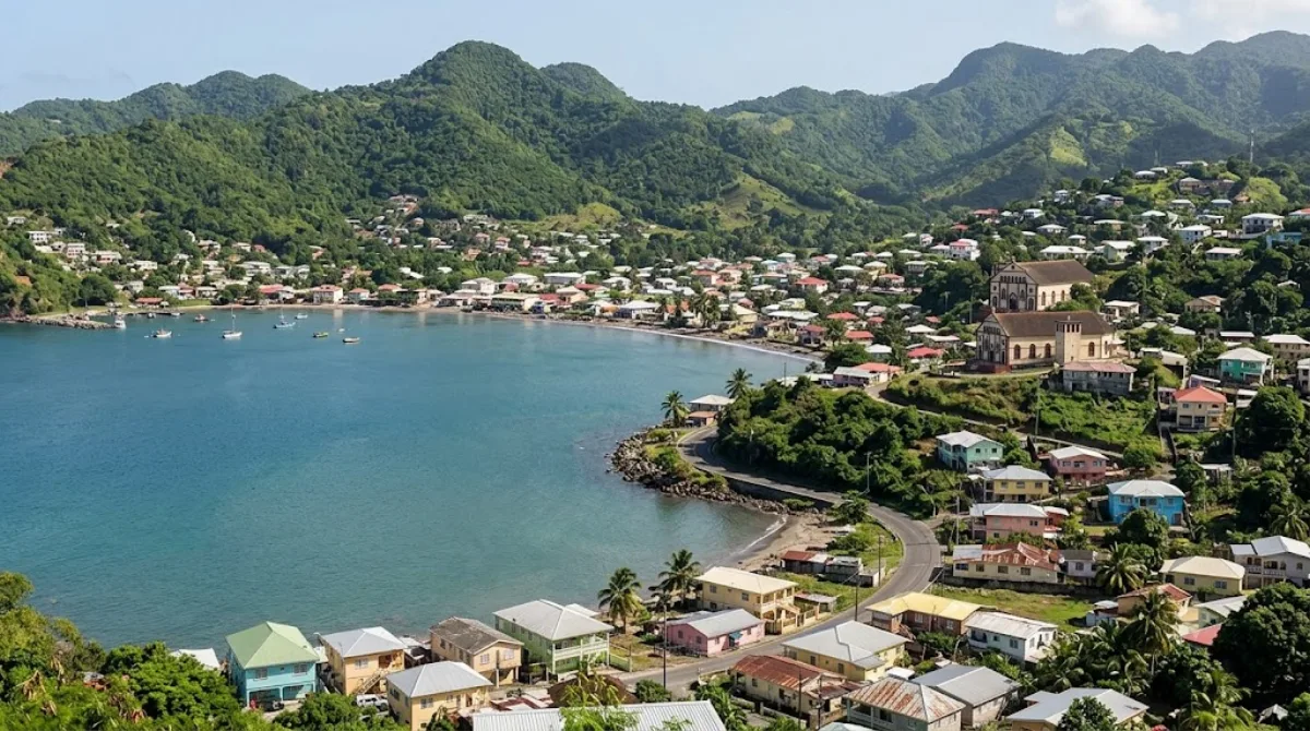
AfternoonDennery Quarter
Shopping & districts · 10.6 km from the previous stop
Dennery is a district in eastern Saint Lucia, covering an area of 70 km² with a population of 12,876 (as of 2001).
-
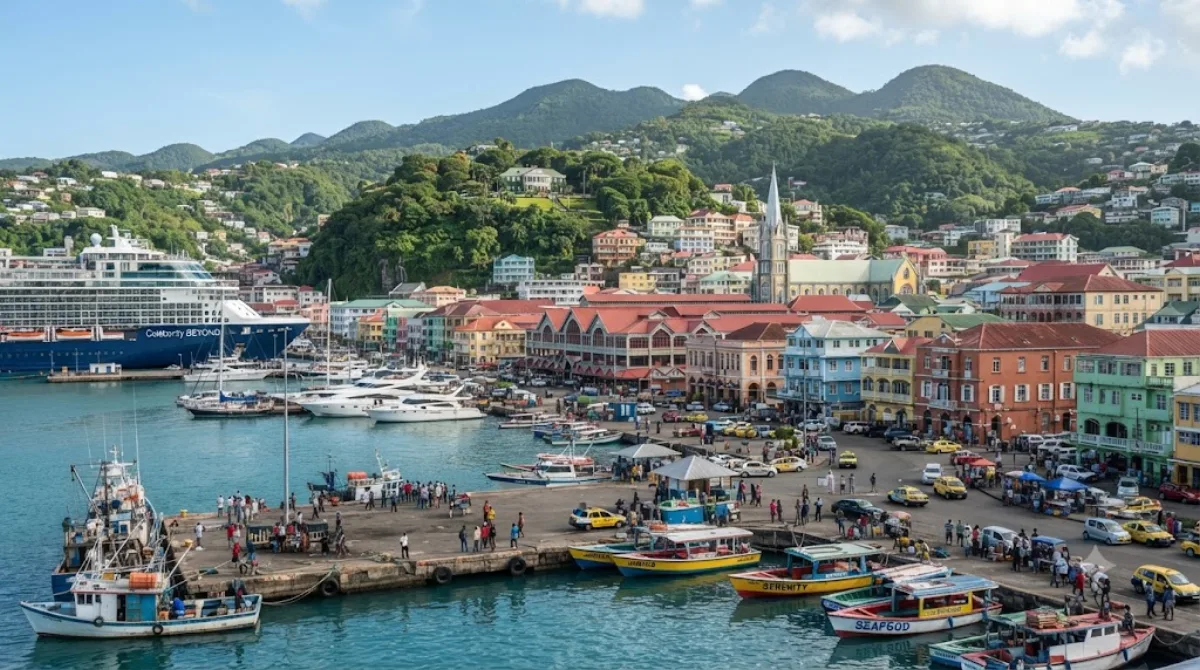
EveningCastries Quarter
Shopping & districts · 8.6 km from the previous stop
Castries District lies in the northwest of Saint Lucia and is home to Castries, the country's capital. It's a great hub for starting your exploration of the island.
DAY 3
Around Pigeon Island · Nature·Temples & religious sites
Directions in Google Maps-
MorningPigeon Island
Nature
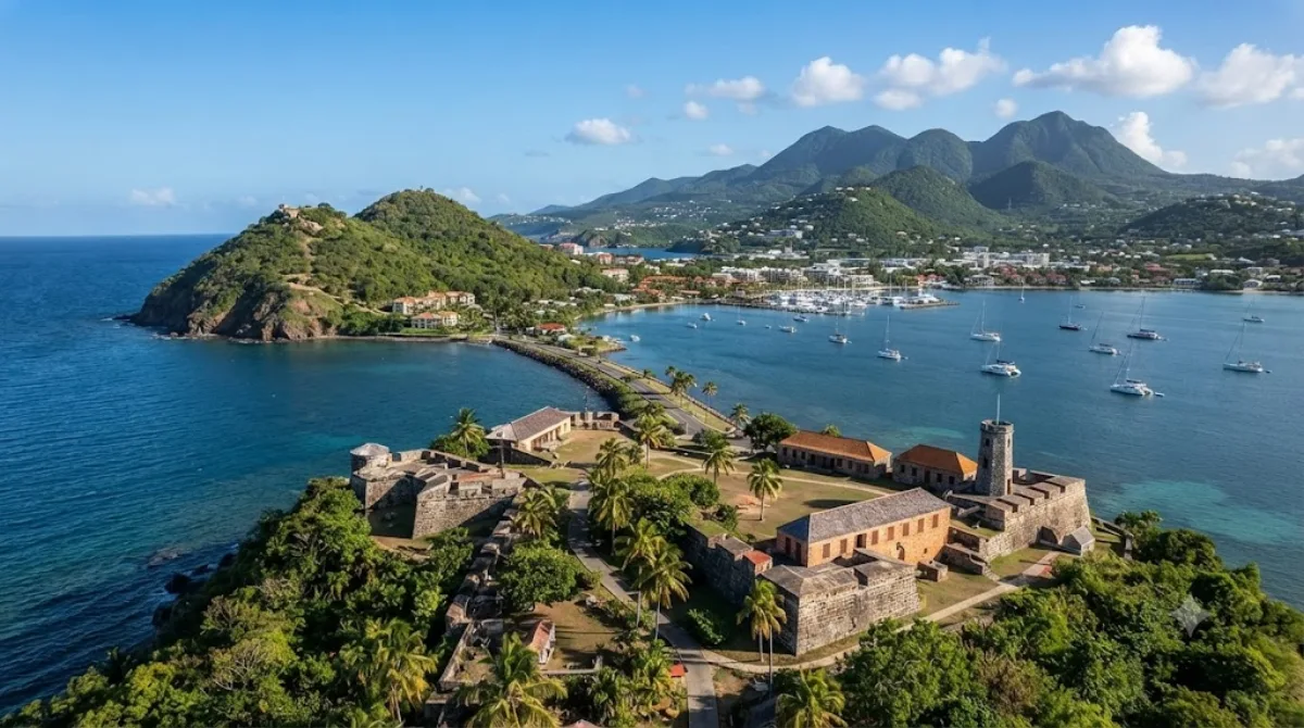
A small 44-acre island once lying off Gros Islet in northern Saint Lucia, connected to the mainland by a man-made causeway built in 1972. Between its two peaks stand the remains of an 18th-century British fort, making it a great spot for a historic stroll with ocean views.
-
After lunchRodney Bay
Nature · 1.1 km from the previous stop
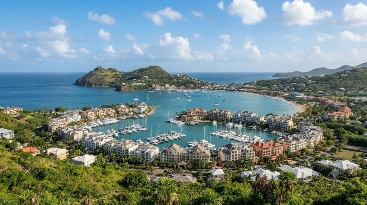
A bay in the Gros Islet district, north of Castries in northwestern Saint Lucia. This Caribbean coastal town is a relaxing spot to enjoy the sea.
-
AfternoonSt. Joseph the Worker Church, Gros Islet
Temples & religious sites · 1.5 km from the previous stop
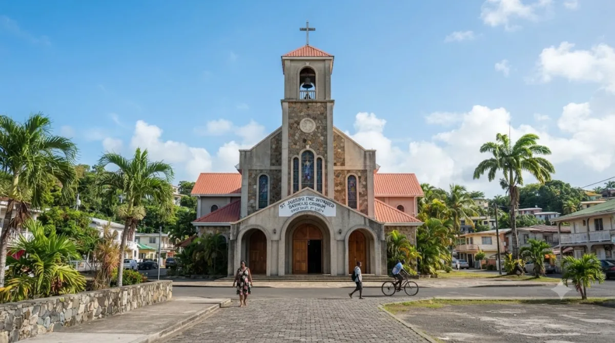
A Catholic church in the village of Gros Islet at the northern tip of Saint Lucia. It's a quiet place to explore, along with the village's simple, unassuming charm.
-
EveningChoc Bay
Nature · 5.6 km from the previous stop
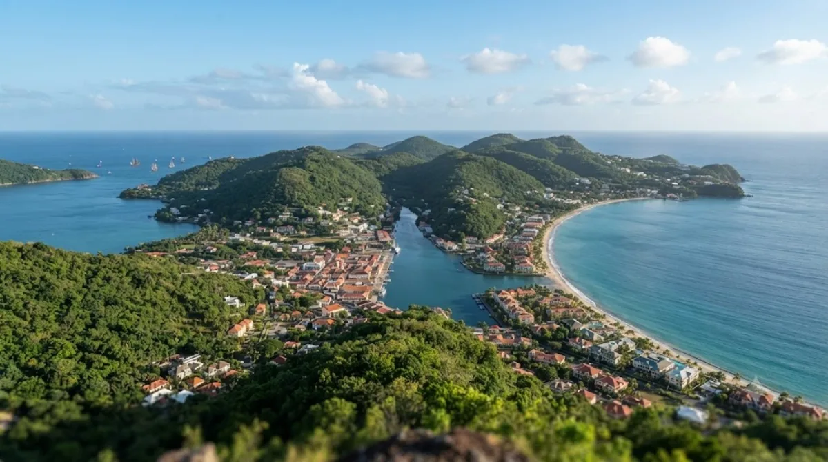
Choc Bay is a bay on Saint Lucia's northwest coast, where the Choc River meets the sea. It's a relaxing spot to spend time along the shoreline.
DAY 4
Around Cathedral Basilica of the Immaculate Conception in Castries · Temples & religious sites·Parks & gardens
Directions in Google Maps-
MorningCathedral Basilica of the Immaculate Conception in Castries
Temples & religious sites
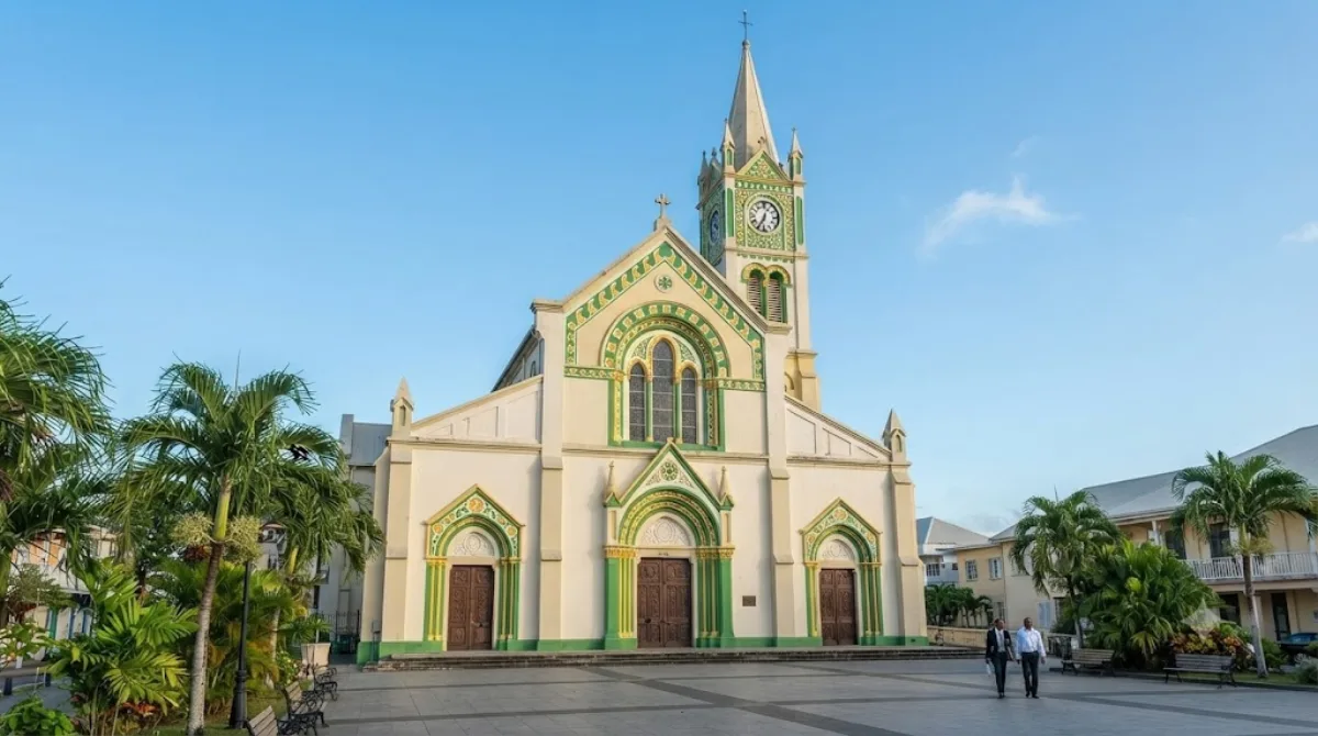
A Catholic cathedral in the center of Castries, Saint Lucia, built in 1897. It stands opposite Derek Walcott Square, making it an easy stop during a stroll through downtown.
-
After lunchDerek Walcott Square
Parks & gardens · 0.1 km from the previous stop
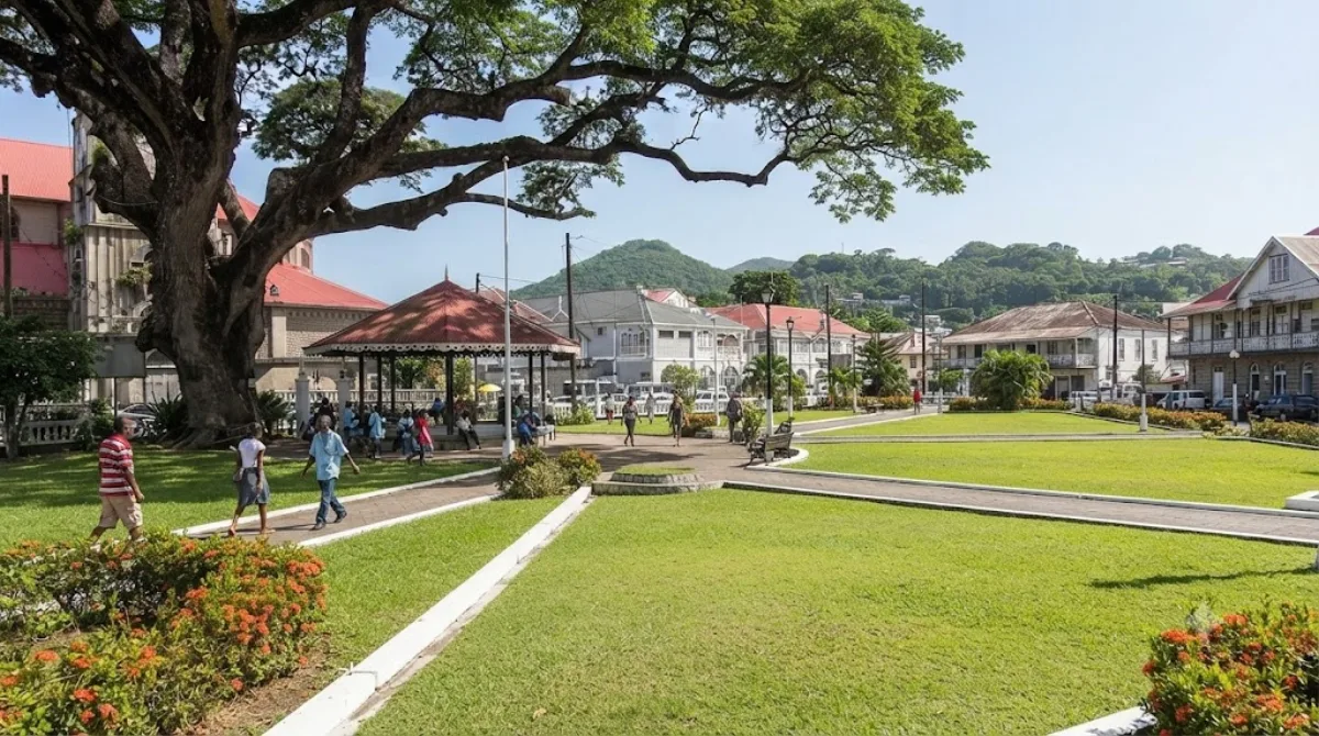
Derek Walcott Square is a square and park in the heart of Castries. It's a convenient downtown spot to rest while exploring the city.
-
AfternoonCastries River
Nature · 1.2 km from the previous stop
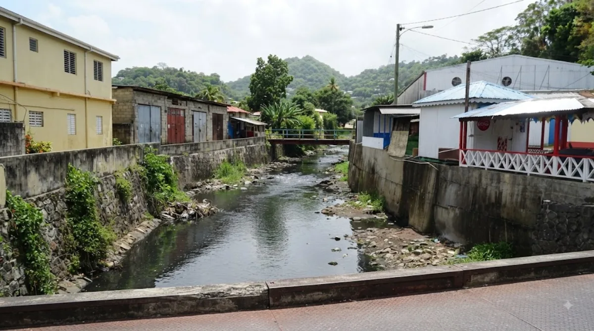
A river running through the Castries area of Saint Lucia. It's a nice spot to visit casually while exploring downtown.
-
EveningVigie Beach
Nature · 0.9 km from the previous stop
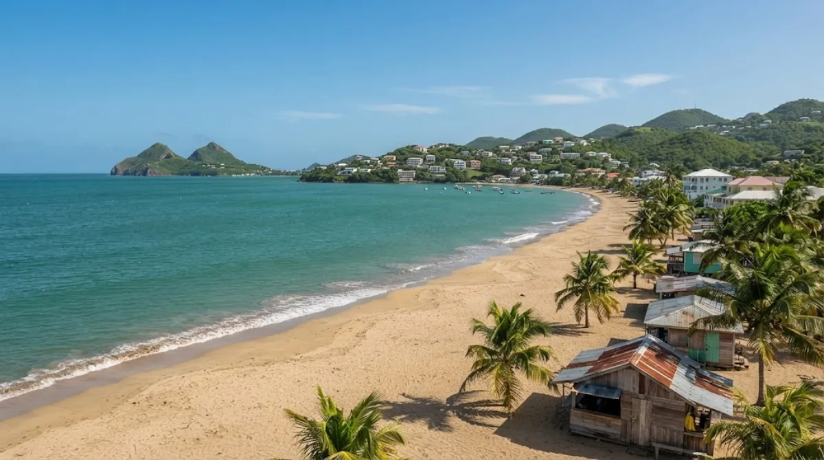
A beach 2 kilometers north of downtown Castries, stretching right alongside George F. L. Charles Airport. It offers a unique beach experience where you can watch planes take off and land.
Where to stay for this itinerary
Around Saint Lucia, the anchor of day one. Staying here keeps your first day's travel shortest.
-
The Cove
6.8 km
-
Marigot Beach Club
7.3 km · Marigot Bay
-
Ti Kaye Resort & Spa
8.1 km
-
Sandals Regency La Toc Golf Resort & Spa
10.6 km
-
Bel Jou
10.9 km
-
Bel Jou Hotel
10.9 km · Castries
 Booking.com
 Hotels.com
Check prices and availability on the booking sites.
More stays in Castries →Check flights to Castries first
Pick a departure airport and date to jump straight to results for Hewanorra International Airport (UVF).
Check fares and seat availability on the flight search site.
Tours & tickets for this itinerary
Popular sights often sell out on the day. Once your plan is set, secure tickets and tours in advance.
 GetYourGuide
 Klook
Klook
 Tiqets
 KKday
KKday
 WeGoTrip