Views & landmarks
Nguyen Van Troi Bridge
What it is
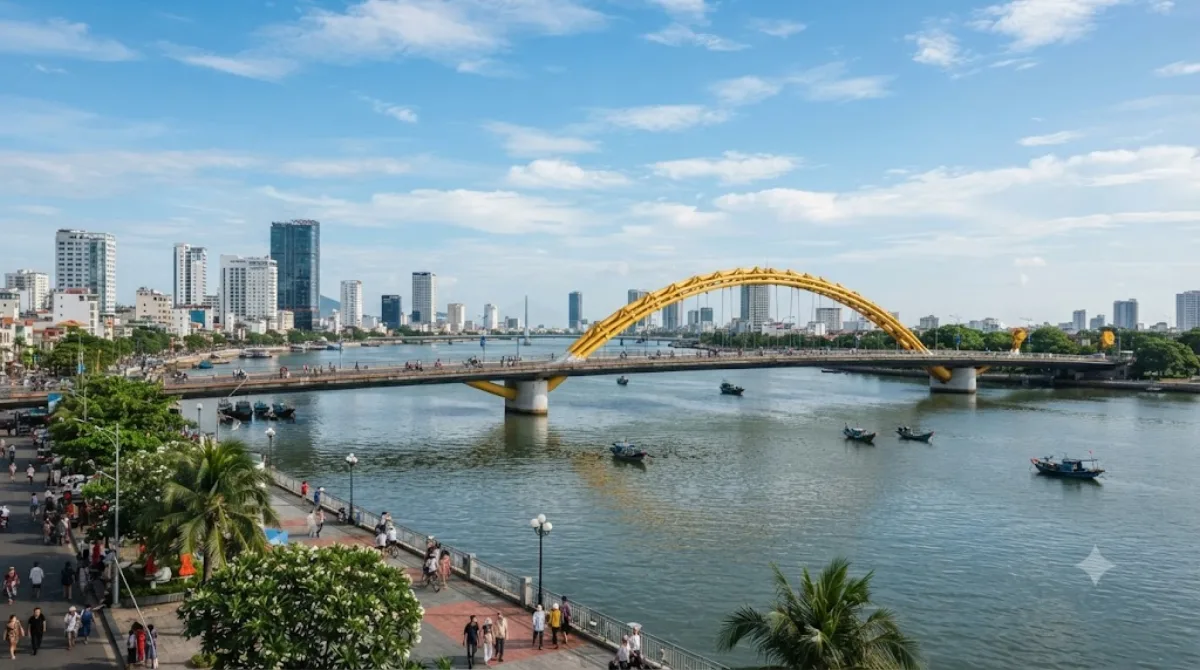
Nguyen Van Troi Bridge is a short bridge over the Han River, built in 1965 by the American contractor RMK-BRJ. It was the first bridge across the river designed to carry vehicles, originally for military transport. At 513 meters, it's one of the smaller crossings in the city. Today the bridge is closed to regular traffic and kept as a pedestrian walkway with lighting, making it a spot to walk out over the river rather than a functioning road crossing. Travellers come for the view along the Han River and to see an older, more industrial-looking bridge next to Da Nang's newer, more decorative ones.
Getting there
The bridge sits on the Han River in central Da Nang, an easy taxi or ride-hailing trip from most hotels in the city centre or along the beachfront — usually well under 15 minutes. It's also walkable from the riverside area near the Museum of Cham Sculpture.
Time to allow
Walking across and taking in the view typically takes 20 to 30 minutes. There isn't much else to do on site beyond walking the span and looking at the river.
When to go
Early evening is a good time, when the heat has eased and the nearby bridges start lighting up. The riverside path and the adjacent Tran Thi Ly Bridge draw crowds at night, especially on weekends, so expect more foot traffic then than during the day.
Combine it with
- Tran Thi Ly Bridge (0.1km) — directly next to it, worth seeing together as a contrast in bridge styles.
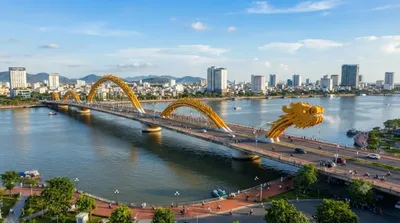
- Dragon River Bridge (1.1km) — a walk or short ride along the river, known for its evening lighting.
- Museum of Cham Sculpture (1.2km) — a change of pace with Cham stone artifacts, within walking distance.
- Zone 5 Military Museum (1.2km) — for more on the region's wartime history, also nearby.
Updated September 20, 2026 · Edited by the World by City editors
 GetYourGuide
 Klook
Klook
 Tiqets
 KKday
KKday
 WeGoTrip
 Booking.com
 Hotels.com