
Day trip
Ngerulmud 1-Day Itinerary (0 Nights)
A 1-day route through Ngerulmud grouped by daily travel distance for optimal sightseeing.
Distances are straight-line, so actual transit times will differ. Feel free to reorder the stops. · Updated August 15, 2026
The whole route at a glance
Map and place data © OpenStreetMap contributors Lines are straight connections, not actual routes.
DAY 1
Around Palau · Nature
Directions in Google Maps-
MorningPalau
Nature
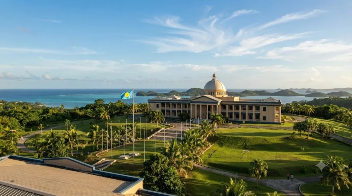
Palau, officially the Republic of Palau, is an island country located in the Micronesia subregion of Oceania in the western Pacific Ocean. The Republic of Palau consists of approximately 340 islands and is the western part of the Caroline Islands, while the eastern and central parts make up the Federated States of Micronesia.
-
After lunchNgatpang Waterfalls
Nature · 2.8 km from the previous stop
A popular and landmark attraction with rich history and picturesque surroundings, highly recommended for visitors.

-
AfternoonBabeldaob
Nature · 9.5 km from the previous stop
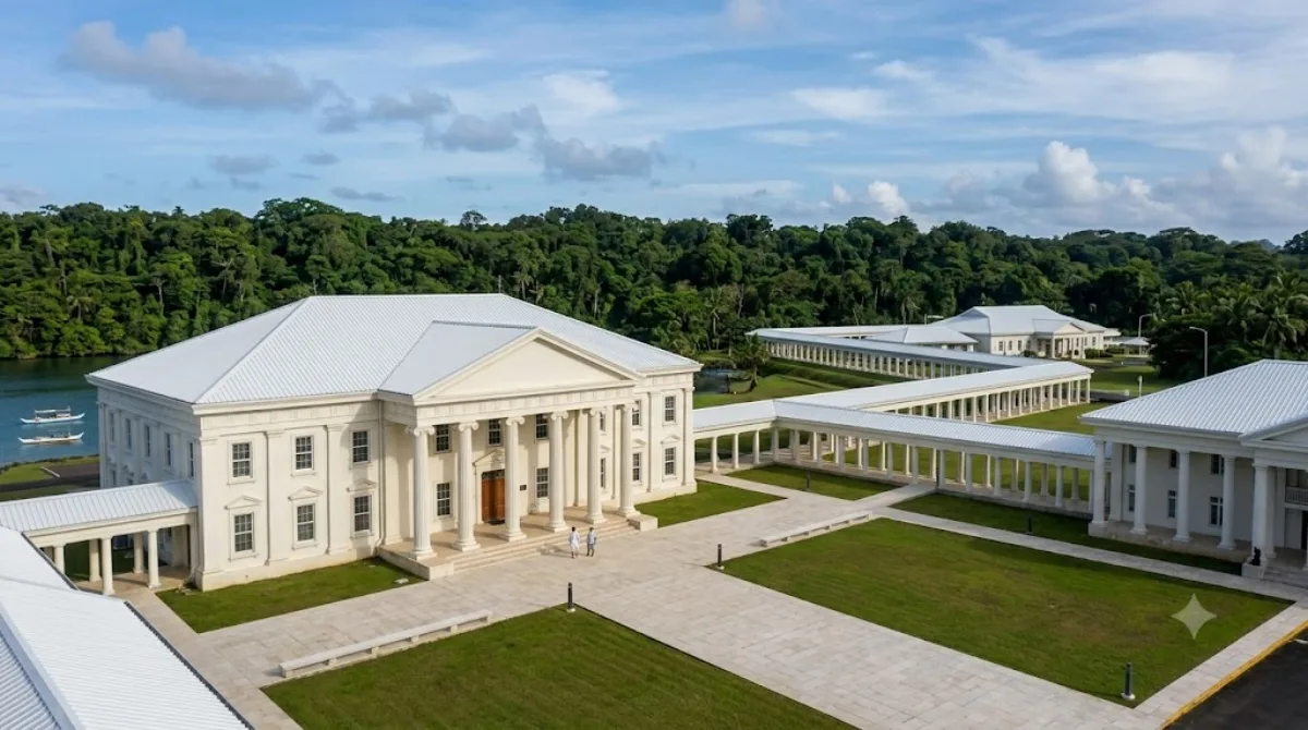
Babeldaob is Palau's largest island, making up about 70% of the country's total land area. With its lush nature and quiet coastline, it reveals Palau in its most authentic form.
-
EveningLake Ngardok
Nature · 4.7 km from the previous stop
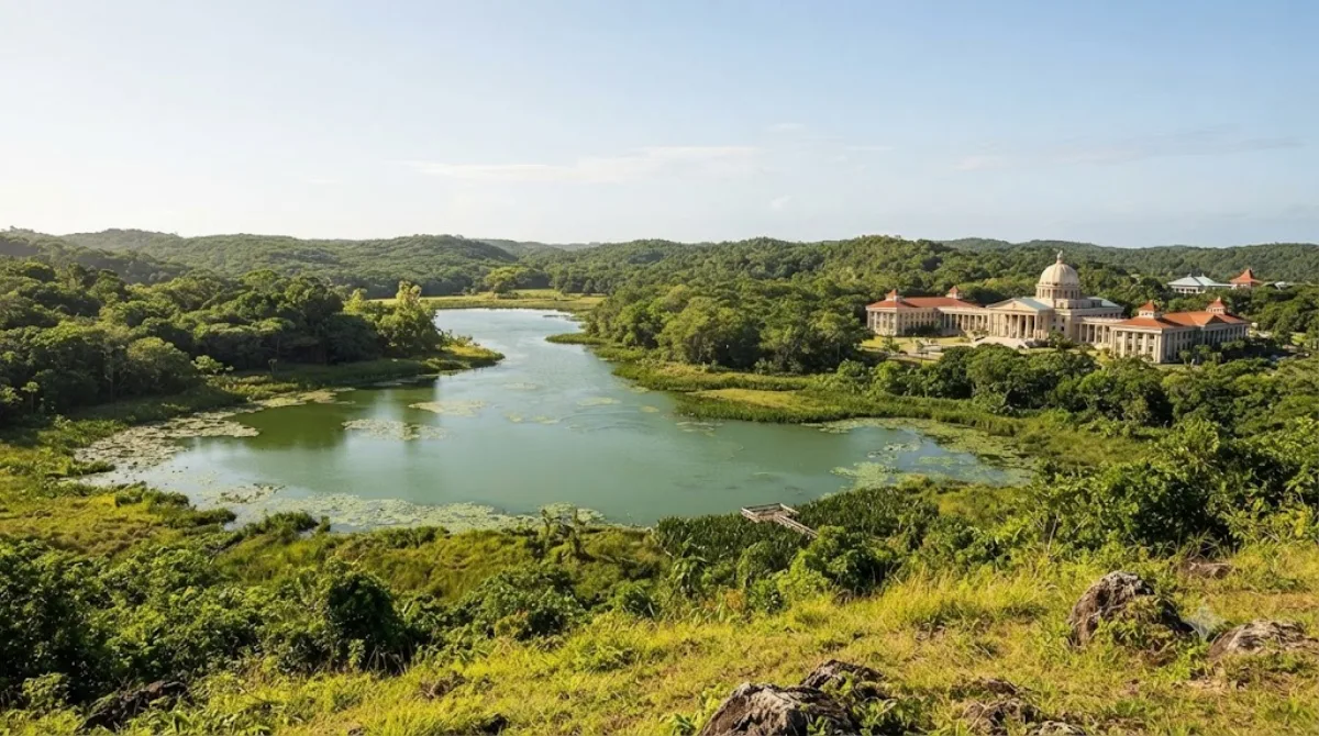
Lake Ngardok, on Babeldaob Island in Palau, is the second-largest natural freshwater lake in Micronesia. It is known as a habitat and breeding ground for the endangered saltwater crocodile, offering a glimpse of pristine nature.
Check flights to Ngerulmud first
Pick a departure airport and date to jump straight to results for Roman Tmetuchl International Airport (ROR).
Check fares and seat availability on the flight search site.
Tours & tickets for this itinerary
Popular sights often sell out on the day. Once your plan is set, secure tickets and tours in advance.
 GetYourGuide
 Klook
Klook
 Tiqets
 KKday
KKday
 WeGoTrip