
2 nights, 3 days
Sal Rei 3-Day Itinerary (2 Nights)
A 3-day route through Sal Rei grouped by daily travel distance for optimal sightseeing.
Distances are straight-line, so actual transit times will differ. Feel free to reorder the stops. · Updated August 15, 2026
The whole route at a glance
Map and place data © OpenStreetMap contributors Lines are straight connections, not actual routes.
DAY 1
Around Boa Vista · Nature·Views & landmarks
Directions in Google Maps-
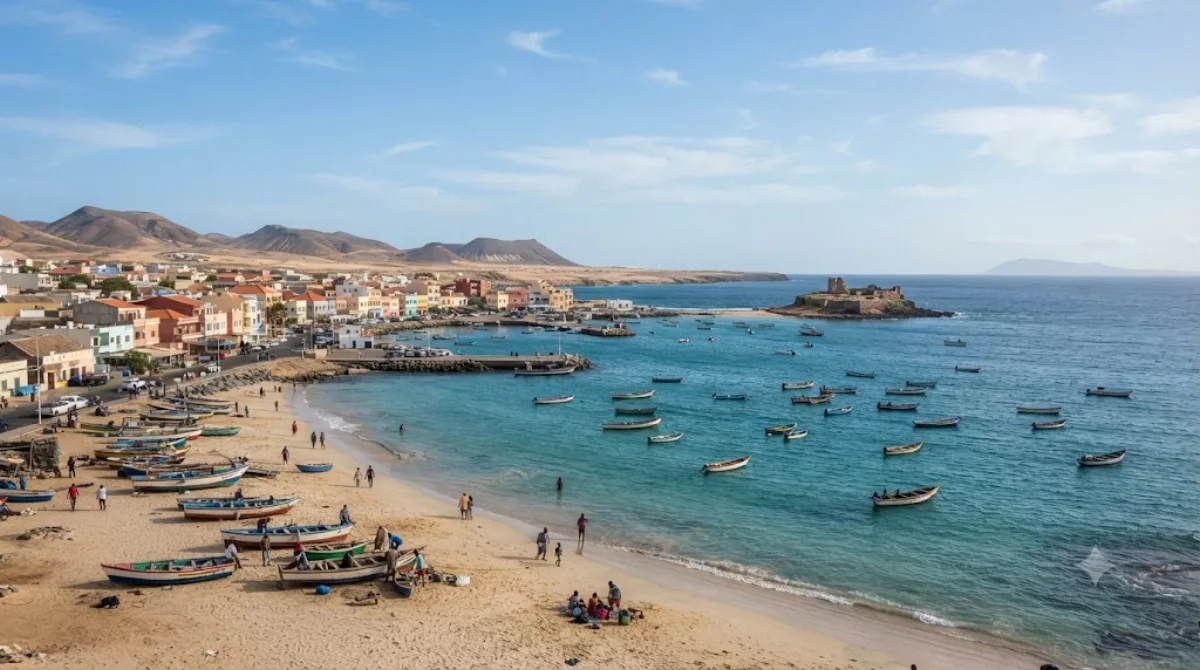
MorningBoa Vista
Nature
A municipality on Boa Vista Island, Cabo Verde, with Sal Rei as its seat. It comprises two parishes: Santa Isabel and São João Baptista.
-
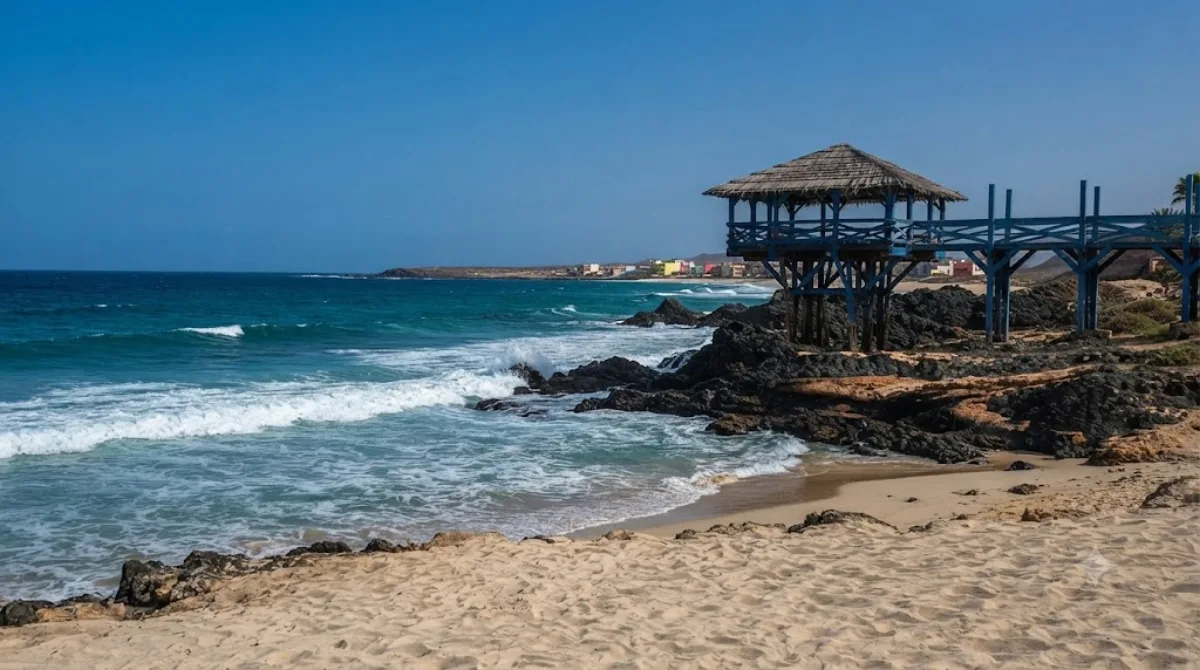
After lunchPraia de Cabral
Nature · 1 km from the previous stop
A beach on the northwestern coast of Boa Vista island, Cape Verde, close to the village of Sal Rei. An old chapel nearby makes it a nice spot to combine a beach walk with some sightseeing.
-
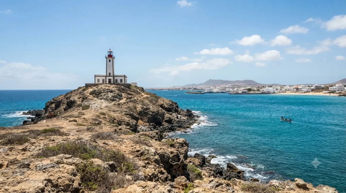
AfternoonPonta da Escuma Lighthouse
Views & landmarks · 2 km from the previous stop
This lighthouse stands at the western tip of a small uninhabited islet off Sal Rei, on Cape Verde's Boa Vista island, guiding ships in and out of the harbor. Since it's cut off from the mainland, you can only get close by boat, giving it a distinctive, remote feel.
-
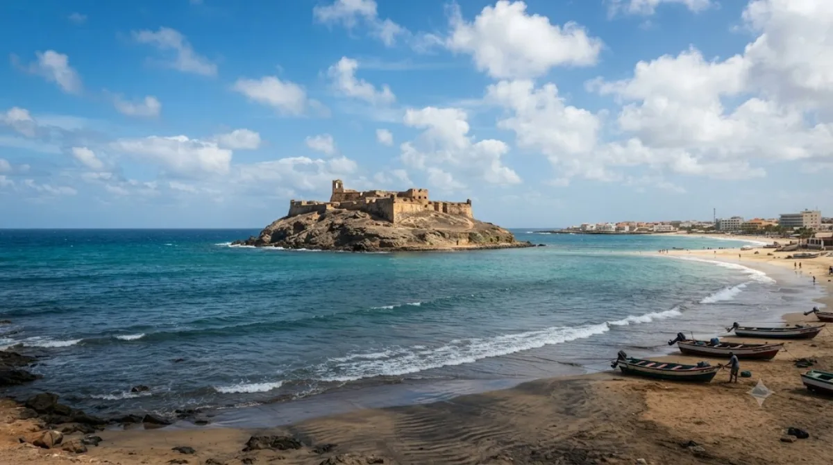
EveningIlhéu de Sal-Rei
Nature · 0.1 km from the previous stop
Ilhéu de Sal-Rei is an uninhabited islet off Boa Vista Island, Cape Verde, 1 km southwest of Sal Rei. It's small, with a highest point of just 27 meters, making it a peaceful spot to take in the scenery.
DAY 2
Around Cabo de Santa Maria · Nature
Directions in Google Maps-
MorningCabo de Santa Maria
Nature
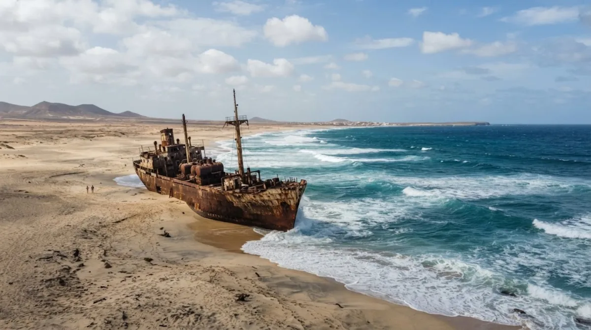
A beach on the northern coast of Boa Vista Island, Cabo Verde. The wreck of the cargo ship Cabo Santa Maria, which ran aground in 1968, still remains, creating an exotic landscape.
-
After lunchPonta do Sol
Nature · 6.5 km from the previous stop
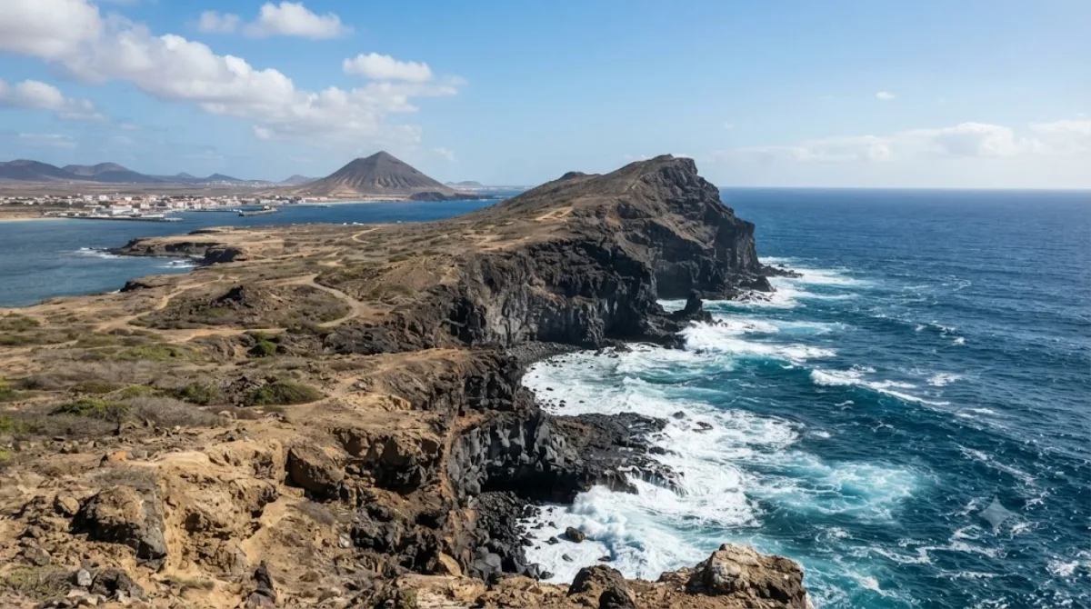
A cape at the northwestern tip of Boa Vista island, marking its northernmost point. Located 6 km north of downtown Sal Rei, it's a quiet spot to take in ocean views.
-
AfternoonRibeira do Rabil
Nature · 9.3 km from the previous stop
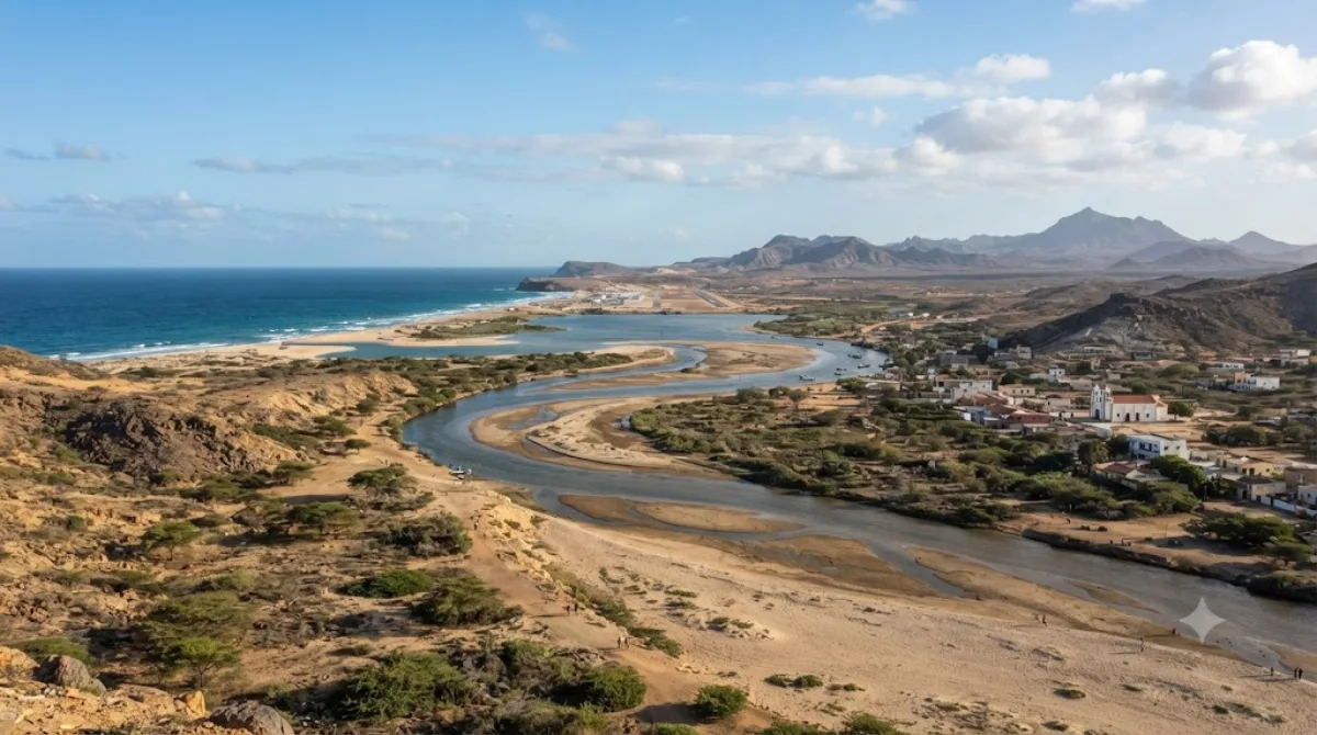
A seasonal river that rises in the southeast of Boa Vista Island, flows past the eastern side of the village of Rabil, and empties into the Atlantic. The Lagoa do Rabil wetland at its mouth is known for attracting a wide variety of wildlife.
-
EveningPraia da Chave
Nature · 4.2 km from the previous stop
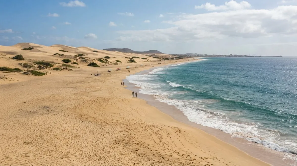
A beach on the western side of Boa Vista island, Cape Verde, near the village of Rabil. Stretching about 5 km, it's a great spot for a quiet walk.
DAY 3
Around Santa Isabel · Nature
-
All daySanta Isabel
Nature
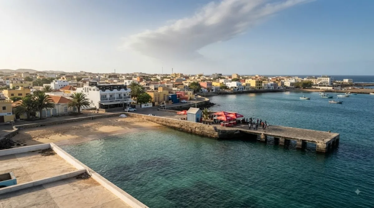
An area on the western side of Boa Vista Island, Cabo Verde, home to Sal Rei, the island's main town. It's well worth exploring together during a visit to Boa Vista.
Where to stay for this itinerary
Around Boa Vista, the anchor of day one. Staying here keeps your first day's travel shortest.
-
Luca Kalema 4-star
0.1 km
-
Boa Vista 2-star
0.2 km
-
Estoril Beach Resort 3-star
0.5 km
-
Ca' Nicola
0.5 km
-
Hotel Marine Club
1.6 km
-
Hotel Riu Karamboa 5-star
4.2 km · Praia de Boca Salina
 Booking.com
 Hotels.com
Check prices and availability on the booking sites.
More stays in Sal Rei →Check flights to Sal Rei first
Pick a departure airport and date to jump straight to results for Amílcar Cabral International Airport (SID).
Check fares and seat availability on the flight search site.
Tours & tickets for this itinerary
Popular sights often sell out on the day. Once your plan is set, secure tickets and tours in advance.
 GetYourGuide
 Klook
Klook
 Tiqets
 KKday
KKday
 WeGoTrip