Tempel & Sakralbauten
Pura Tanah Lot
Tanah Lot
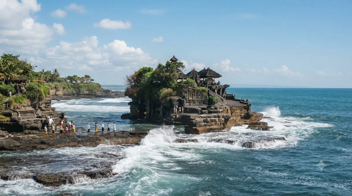
Tanah Lot
Tanah Lot ist ein hinduistischer Tempel, der auf einer Felsformation vor der Küste Balis errichtet wurde. Da das Innere des Tempels eine heilige Pilgerstätte ist und nicht für allgemeine Besichtigungen geöffnet ist, liegt der Fokus des Besuchs auf der Betrachtung der Anlage von außen. Besonders bei Flut ist der Felsen vom Wasser umgeben, was eine charakteristische Silhouette ergibt.
Anreise und Dauer
Die Anreise vom Stadtzentrum aus erfolgt in der Regel per Taxi oder mit einem privaten Fahrer. Die Fahrtzeit variiert je nach Verkehrslage, liegt aber meist bei etwa einer Stunde. Vor Ort sollten Besucher etwa zwei bis drei Stunden einplanen, um das Gelände zu erkunden und die Lage des Tempels zu betrachten.
Beste Besuchszeit
Die beliebteste Zeit für einen Besuch ist der späte Nachmittag, um den Sonnenuntergang zu beobachten. In dieser Zeit ist der Ort sehr stark besucht. Es empfiehlt sich, die Gezeiten zu prüfen, da der Zugang zum Felsen je nach Wasserstand variiert.
Kombinationsmöglichkeiten
In der näheren Umgebung befinden sich weitere Sehenswürdigkeiten, die mit dem Besuch kombiniert werden können:
- Pantai Seminyak (11,2 km)
- Pura Taman Ayun (12,9 km)
- Badung River (13,9 km)
- Pura Maospahit (14 km)
Aktualisiert 20. September 2026 · Redaktion die World by City-Redaktion
 GetYourGuide
 Klook
Klook
 Tiqets
 KKday
KKday
 WeGoTrip
 Booking.com
 Hotels.com