Natur
Rattanakosin
Rattanakosin Island
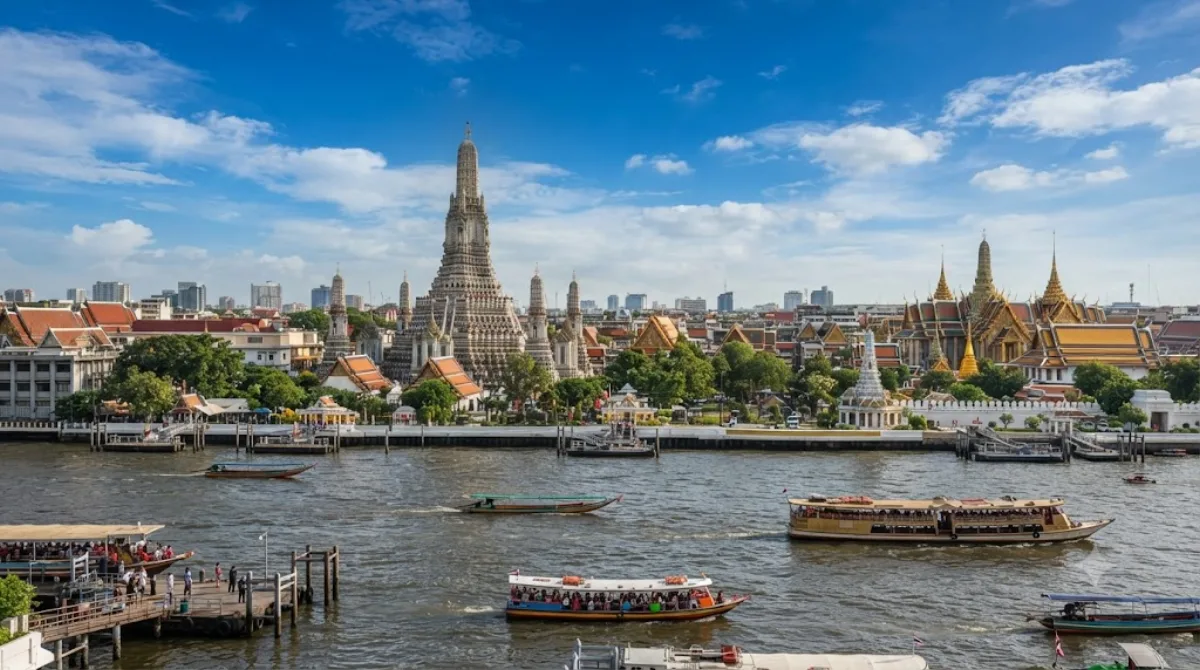
Rattanakosin Island
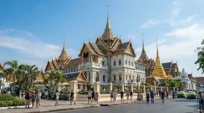
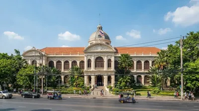
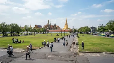
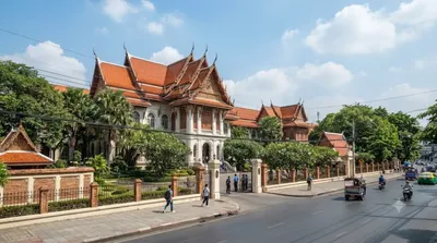
Die Rattanakosin Island ist das historische Zentrum von Bangkok im Bezirk Phra Nakhon. Das Gebiet wird im Westen vom Chao Phraya Fluss und im Osten von Kanälen begrenzt, die ursprünglich als Verteidigungsanlagen der befestigten Stadt angelegt wurden. Reisende besuchen diesen Distrikt, um die historischen Ursprünge der Stadt zu erkunden, da hier zentrale Stätten wie der Große Palast und der City Pillar Shrine liegen.
Anreise und Dauer
Die Insel ist vom Stadtzentrum aus mit dem Taxi, dem öffentlichen Bus oder per Boot über den Fluss erreichbar. Die Fahrzeit variiert je nach Verkehrslage und Startpunkt, beträgt jedoch in der Regel zwischen 20 und 40 Minuten.
Aufgrund der Dichte an Sehenswürdigkeiten sollte man für die Erkundung des Gebiets mindestens einen vollen Tag einplanen.
Besuchszeit und Hinweise
Ein Besuch in den frühen Morgenstunden ist ratsam, um der Mittagshitze zu entgehen. Das Gebiet ist häufig sehr stark besucht, insbesondere an Wochenenden und während thailändischer Feiertage.
Kombinationsmöglichkeiten
Da viele bedeutende Orte nah beieinander liegen, lassen sich folgende Attraktionen gut kombinieren:
- Grand Palace: 0,1 km
- Museum of Siam: 0,6 km
- Sanam Luang: 0,7 km
- Bangkok National Museum: 1 km
Aktualisiert 21. September 2026 · Redaktion die World by City-Redaktion
 GetYourGuide
 Klook
Klook
 Tiqets
 KKday
KKday
 WeGoTrip
 Booking.com
 Hotels.com