自然
라타나코신섬
Rattanakosin Island
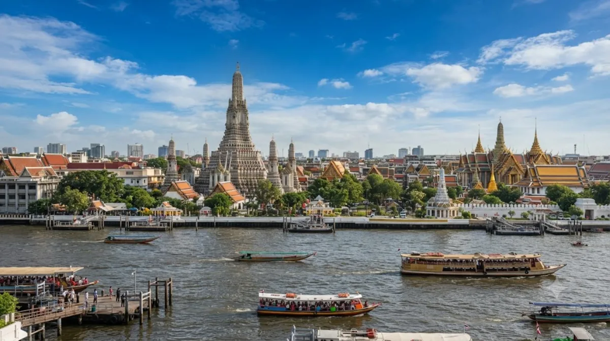
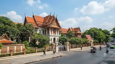
라타나코신섬(태국어: เกาะรัตนโกสินทร์, Rattanakosin Island)은 태국 방콕 프라나콘구에 있는 역사적인 지역이다. 서쪽의 짜오프라야강과 동쪽의 다양한 운하와 접해 있으며, 이 운하는 원래 요새화된 도시 중심지의 해자 역할을 하기 위해 파놓은 것이다. 짜오프라야강에 있는 한 사행천의 동쪽 볼록강변에 위치한 이 섬은 역사적 의미가 있는 다른 장소들 중에서도 방콕 왕궁이 있는 곳이다.
What it is
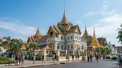
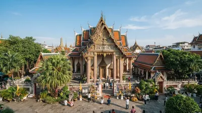
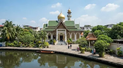
Rattanakosin Island isn't a natural island but the historic core of Bangkok — a stretch of land bounded by the Chao Phraya River on one side and a ring of canals dug as defensive moats on the other, when this was the fortified seat of the Siamese capital. It's less a single sight than a district: the Grand Palace, the City Pillar Shrine, and several major temples and museums are all within its boundaries. A traveller comes here to walk between these landmarks and get a sense of royal and civic Bangkok as it was originally laid out, rather than to see one discrete attraction.
Getting there
From central Bangkok, the area is best reached by the Chao Phraya Express Boat, getting off near Tha Chang or Tha Tien pier, or by taxi, which can take anywhere from 20 to 45 minutes depending on traffic and starting point. There is no BTS or MRT station directly on the island, so the last stretch is usually on foot.
Time to allow
Since the island covers multiple sites, allow at least half a day if you plan to visit the Grand Palace and one or two other landmarks, or a full day if you want to take in the museums and temples at a relaxed pace.
When to go
Mornings are cooler and less crowded, which matters here since much of the walking is outdoors between sites. The area around the Grand Palace draws heavy tour-group traffic, so expect crowds there regardless of season. Streets and open spaces like Sanam Luang are more comfortable to cross before midday heat sets in.
Combine it with
- Grand Palace (0.1km) — effectively within the same walk
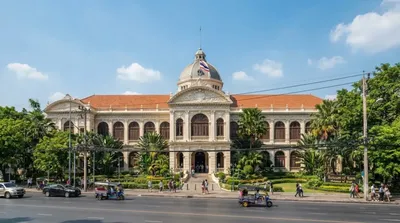
- The Museum of Siam (0.6km) — for context on Thai history and identity
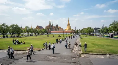
- Sanam Luang (0.7km) — the open ceremonial ground at the island's centre
- Bangkok National Museum (1km) — for a deeper look at Thai art and artifacts
出典:ウィキペディア・OpenStreetMap の公開データ · 2026年8月5日 更新 · 編集 World by City 編集部