Aussicht & Wahrzeichen
Campanile di Giotto
Giotto's Campanile
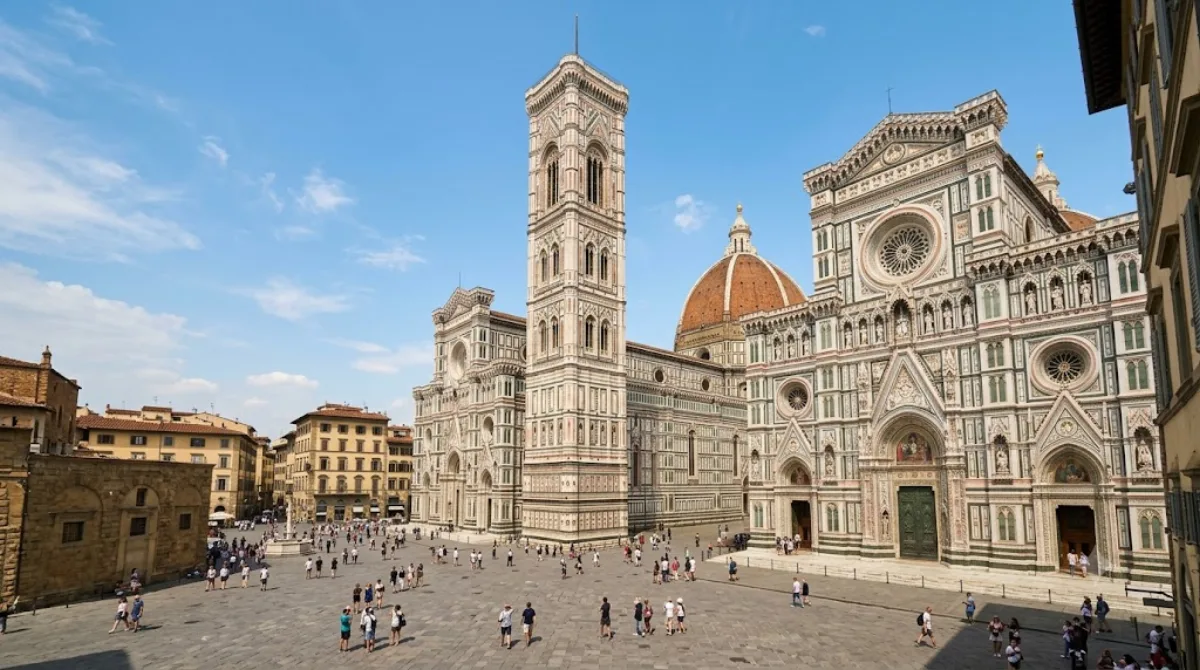
Giotto-Campanile
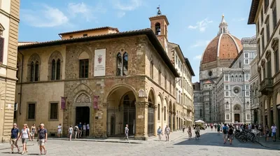
Der Giotto-Campanile ist der freistehende Glockenturm des Florentiner Doms. Reisende besuchen das Bauwerk vor allem wegen der verzierten Marmorfassade und der Aussichtsplattform an der Spitze. Von dort aus ist die Kuppel des Doms auf Augenhöhe sowie das Stadtbild von Florenz sichtbar. Der Aufstieg erfolgt über Treppen.
Anreise und Dauer
Der Turm befindet sich im historischen Zentrum von Florenz. Da er zentral gelegen ist, ist er von den meisten zentralen Unterkünften und Plätzen innerhalb von 5 bis 15 Minuten zu Fuß erreichbar.
Für den Besuch und den Aufstieg zur Plattform sollte man etwa 1,5 bis 2 Stunden einplanen.
Besucherinformationen
Das Bauwerk ist ein zentraler Anlaufpunkt und wird oft sehr stark frequentiert. Um lange Warteschlangen zu vermeiden, empfiehlt sich ein Besuch in den frühen Morgenstunden oder am späten Nachmittag. In der Hauptreisezeit ist mit hohem Besucheraufkommen zu rechnen.
Kombinationsmöglichkeiten
Aufgrund der Lage lassen sich weitere Sehenswürdigkeiten in unmittelbarer Nähe kombinieren:
- Museo dell'Opera del Duomo: 0 km
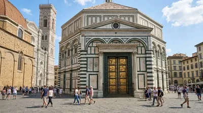
- Paradiespforte (Gates of Paradise): 0 km
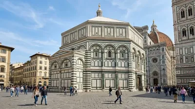
- Florentiner Taufkirche (Baptistery): 0,1 km
- Piazza del Duomo: 0,1 km
Aktualisiert 20. September 2026 · Redaktion die World by City-Redaktion
 GetYourGuide
 Klook
Klook
 Tiqets
 KKday
KKday
 WeGoTrip
 Booking.com
 Hotels.com