Natur
Hakata-Bucht
Hakata Bay
Überblick
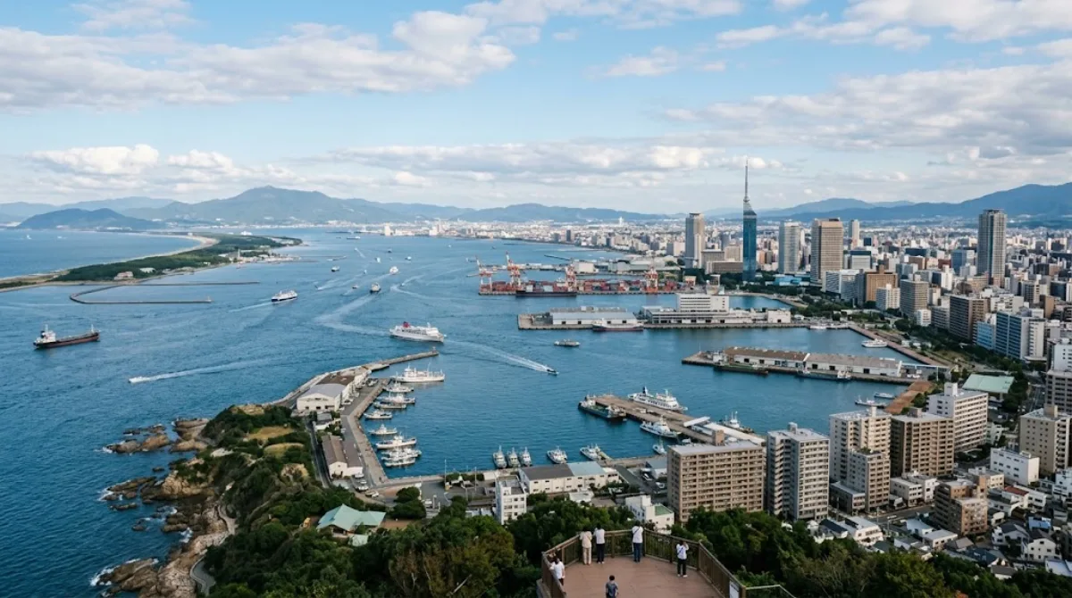
Die Bucht liegt nordwestlich von Fukuoka auf der Insel Kyushu und öffnet sich zur Tsushima-Straße. Ein großer Teil des Ufers entstand durch Landgewinnung, weshalb heute Hafenanlagen, Strände und Grünflächen nebeneinander liegen. Reisende nutzen den direkten Meereszugang nahe dem Stadtzentrum vor allem für Spaziergänge an der Küste und zur Beobachtung des Schiffsverkehrs.
Anreise vom Stadtzentrum
Aus dem Stadtzentrum (etwa vom Bahnhof Hakata oder dem Bezirk Tenjin) ist das Ufer mit Bussen oder Nahverkehrszügen in rund 15 bis 30 Minuten erreichbar. Ergänzend verkehren Fährschiffe über die Bucht zu den gegenüberliegenden Uferzonen.
Aufenthaltsdauer
Für einen einfachen Aufenthalt an der Promenade oder in einem der Küstenparks genügen ein bis zwei Stunden.
Beste Besuchszeit
Für freie Sicht auf das Wasser eignen sich die Nachmittagsstunden. An Wochenenden sowie in den Sommermonaten sind Strände und Promenaden oft stark besucht. Im Winter weht an der Küste häufig kalter, kräftiger Wind.
Kombinationen in der Umgebung
Ein Besuch lässt sich mit Zielen im direkten Umkreis verbinden:
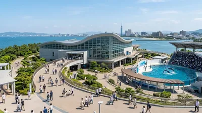
- Marine World Uminonakamichi (3,3 km)
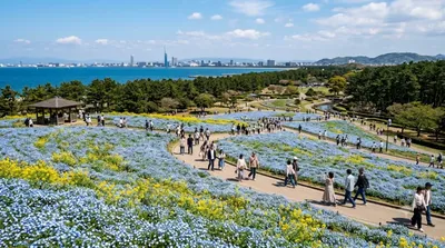
- Uminonakamichi Seaside Park (3,5 km)
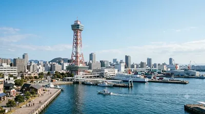
- Hakata Port Tower (3,8 km)
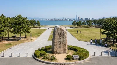
- Umi no Nakamichi (3,9 km)
Aktualisiert 20. September 2026 · Redaktion die World by City-Redaktion
 GetYourGuide
 Klook
Klook
 Tiqets
 KKday
KKday
 WeGoTrip
 Booking.com
 Hotels.com