Denkmäler & Ausgrabungen
Uminonakamichi
Umi no Nakamichi
Geografie und Charakter
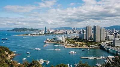
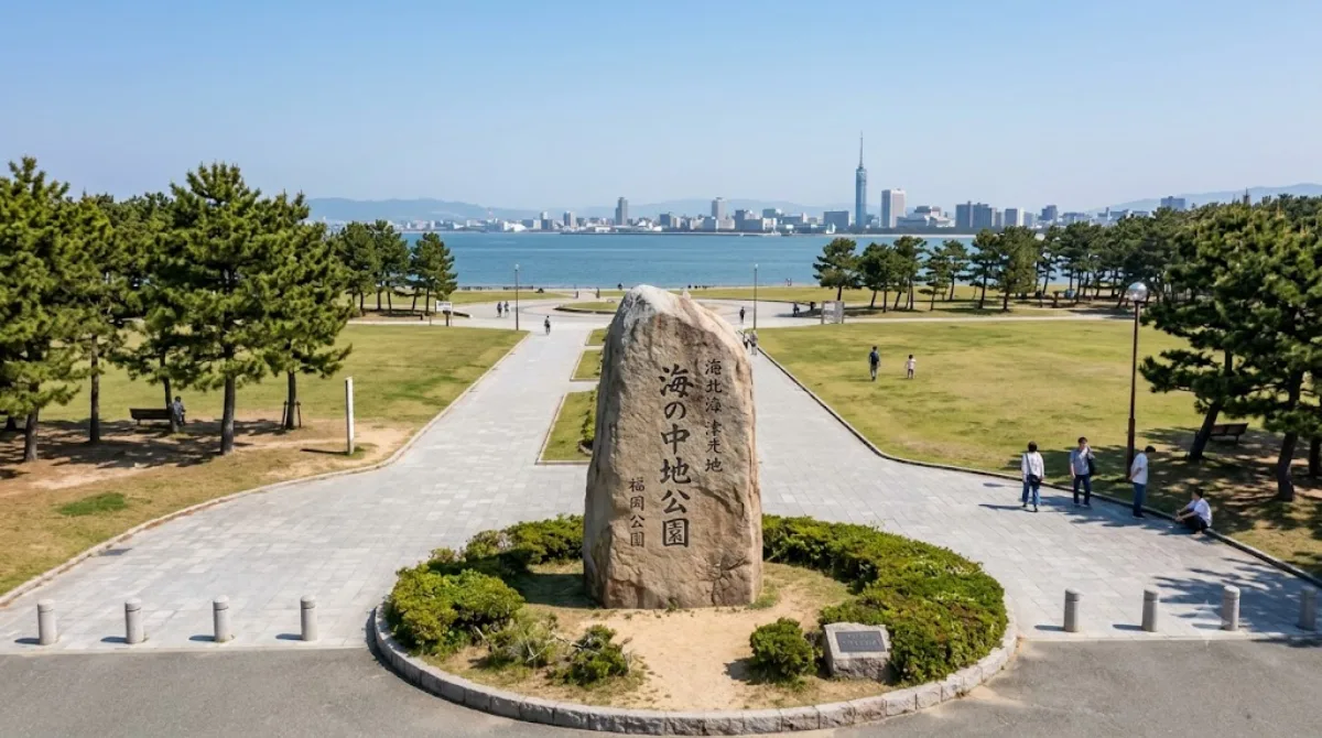
Umi no Nakamichi ist eine rund acht Kilometer lange und bis zu 2,5 Kilometer breite Sandbank in Fukuoka. Sie verbindet die Hauptinsel Kyushu mit der Insel Shikanoshima. Das Areal trennt das offene Genkai-Meer im Norden von der Hakata-Bucht im Süden. Reisende kommen hierher, um die Küstenlandschaft mit den beiden unterschiedlichen Gewässern auf engem Raum zu sehen.
Anreise
Vom Hauptbahnhof Hakata im Stadtzentrum erreicht man das Gebiet per Bahn mit der JR Kagoshima- und Kashii-Linie in etwa 30 bis 45 Minuten. Zudem bestehen Fährverbindungen über die Bucht.
Empfohlene Aufenthaltsdauer
Für die Erkundung der Küstenlinie und Wege genügen etwa zwei bis drei Stunden.
Reisezeit und Bedingungen
Frühling und Herbst bieten milde Bedingungen für Unternehmungen im Freien. Im Sommer ist die Sonneneinstrahlung auf den offenen Flächen intensiv, im Winter wehen oft kalte Winde. An Wochenenden ist der Andrang spürbar größer als an Werktagen.
Ziele in der Nähe
Der Besuch lässt sich mit nahen Orten kombinieren:
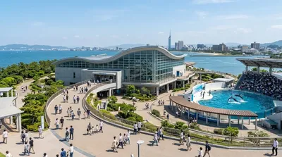
- Marine World Uminonakamichi (0,7 km)
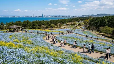
- Uminonakamichi Seaside Park (1,5 km)
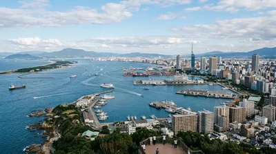
- Hakata-Bucht (3,9 km)
- Island City (4,3 km)
Aktualisiert 20. September 2026 · Redaktion die World by City-Redaktion
 GetYourGuide
 Klook
Klook
 Tiqets
 KKday
KKday
 WeGoTrip
 Booking.com
 Hotels.com