Natur
Nakanoshima
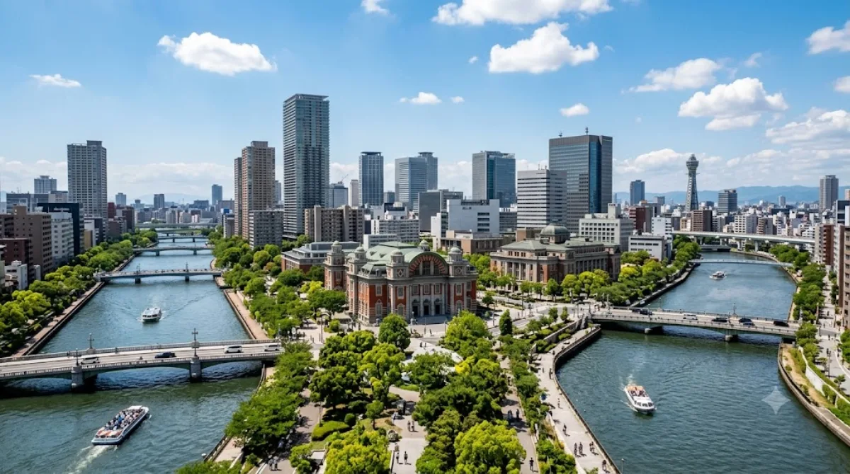
Nakanoshima, Osaka
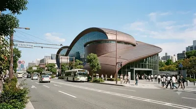
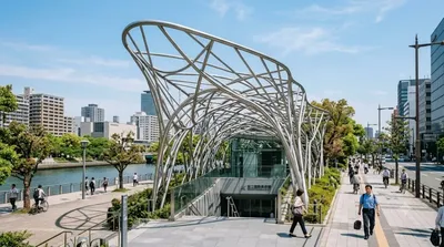
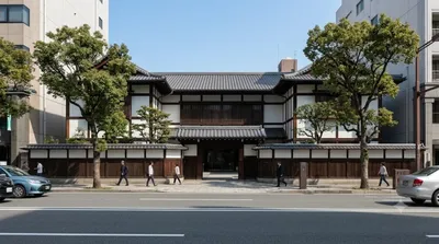
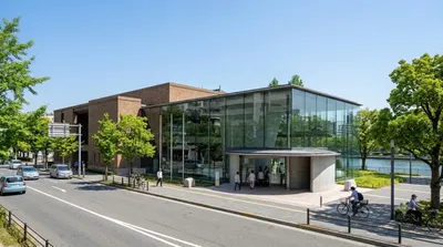
Nakanoshima ist eine etwa 3 Kilometer lange Sandbank im Zentrum von Osaka, die durch die Teilung des Kyu-Yodogawa-Flusses in die Flüsse Dojima und Tosabori entstanden ist. Das Gebiet beherbergt eine Mischung aus Regierungsgebäuden, Unternehmenszentralen und kulturellen Einrichtungen. Reisende besuchen diesen Ort primär für Spaziergänge entlang der Flussufer, um die Kombination aus städtischer Architektur und Grünanlagen zu erleben.
Anreise und Zeitplanung
Die Insel liegt im Stadtteil Kita und ist vom Stadtzentrum aus schnell erreichbar. Je nach Startpunkt ist sie mit den lokalen U-Bahn-Linien oder zu Fuß in etwa 10 bis 20 Minuten erreichbar. Für einen Rundgang durch das Gebiet und den Besuch eines der Museen sollte man etwa 3 bis 5 Stunden einplanen.
Beste Besuchszeit
Das Gebiet ist zu jeder Tageszeit zugänglich. Aufgrund der vielen Bürogebäude ist es an Werktagen während der Geschäftszeiten belebt. In den Frühlings- und Herbstmonaten ist das Klima für Spaziergänge am angenehmsten. An Wochenenden kann es in den Parkanlagen voller werden.
Kombinationsmöglichkeiten
Da sich auf der Insel zahlreiche kulturelle Institutionen befinden, lassen sich folgende Ziele direkt in den Besuch integrieren:
- Osaka Science Museum (0,1 km)
- National Museum of Art, Osaka (0,1 km)
- Yuki Museum of Art (1,1 km)
- Museum of Oriental Ceramics, Osaka (1,3 km)
Aktualisiert 20. September 2026 · Redaktion die World by City-Redaktion
 GetYourGuide
 Klook
Klook
 Tiqets
 KKday
KKday
 WeGoTrip
 Booking.com
 Hotels.com