Natur
Yodo
Yodo River
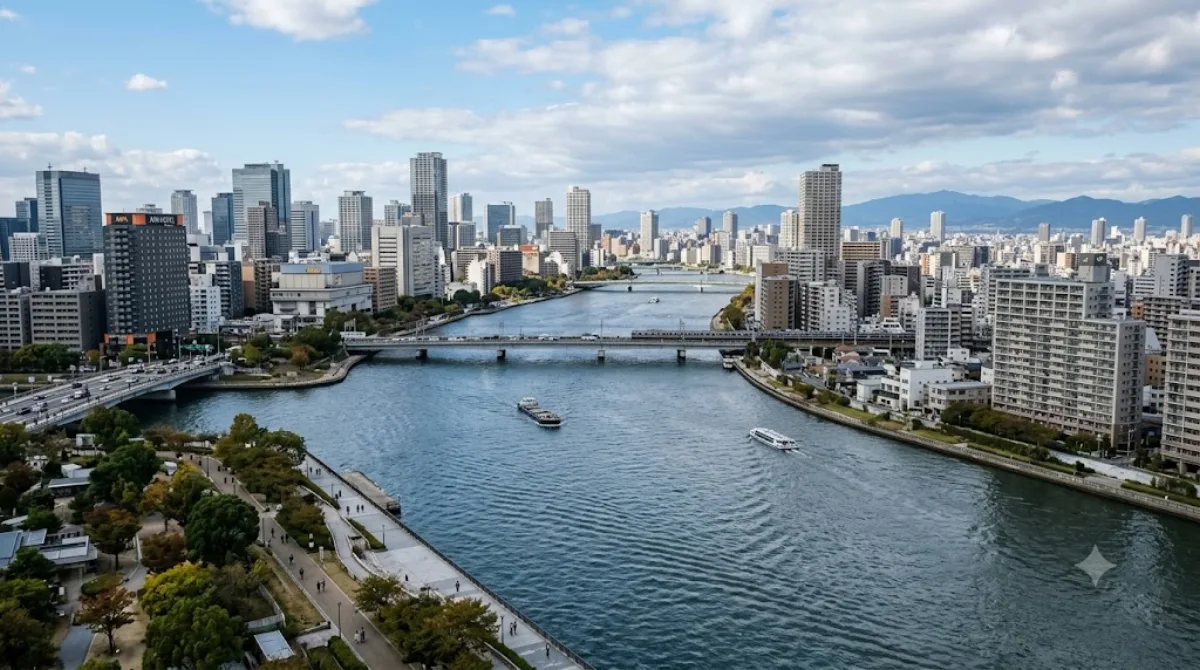
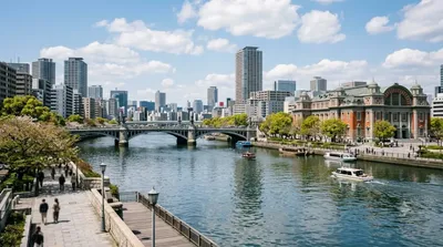
Der Yodo-Fluss in Osaka
Der Yodo-Fluss ist eine bedeutende Wasserstraße, die vom Biwa-See durch Kyoto fließt und schließlich in die Bucht von Osaka mündet. Für Reisende dient das Gebiet weniger als klassische Sehenswürdigkeit, sondern primär als Ort für Spaziergänge entlang der Ufer. Es bietet weite Sichtachsen und eine offene Atmosphäre, die einen Kontrast zur dichten Bebauung des Stadtzentrums darstellt.
Anreise und Zeitplanung
Die Uferbereiche sind vom Stadtzentrum aus mit den öffentlichen Verkehrsmitteln oder dem Fahrrad erreichbar. Je nach Startpunkt und genauem Abschnitt des Flusses dauert die Fahrt etwa 20 bis 40 Minuten. Da es sich um einen öffentlichen Naturraum handelt, ist die Zeit vor Ort flexibel; ein Aufenthalt von ein bis zwei Stunden reicht in der Regel aus, um die Gegend zu erkunden.
Besuchszeit und Hinweise
Der Fluss ist zu jeder Tageszeit zugänglich. Besonders in den Frühlings- und Herbstmonaten ist das Klima für Spaziergänge geeignet. Da es sich um eine weitläufige Fläche handelt, wird es im Vergleich zu den touristischen Zentren der Stadt selten überfüllt, außer während lokaler Veranstaltungen oder an Wochenenden.
Kombinationsmöglichkeiten
Aufgrund der Lage lassen sich Besuche an diesem Fluss mit anderen Attraktionen in der Nähe verbinden:
- Universal Studios Japan (2,4 km)
- Kyū-Yodo River (2,9 km)
- Mount Tenpō (3 km)
- Osaka Aquarium Kaiyukan (3,3 km)
Aktualisiert 20. September 2026 · Redaktion die World by City-Redaktion
 GetYourGuide
 Klook
Klook
 Tiqets
 KKday
KKday
 WeGoTrip
 Booking.com
 Hotels.com