自然
淀川
Yodo River
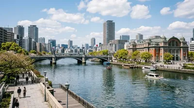
淀川(よどがわ)は、大阪湾に注ぐ日本の一級河川。滋賀県、京都府および大阪府を流れる淀川水系の本流である。琵琶湖から流れ出る唯一の河川である瀬田川(せたがわ)が宇治川(うじがわ)、淀川と名前を変える。流路延長75.1 km、流域面積8,240 km2。なお、先述の流路延長は琵琶湖南端よりの延長であり、河口から最も遠い地点は滋賀県・福井県の分水嶺である栃ノ木峠であり、淀川の源の石碑が設置されている。敦賀駅より北に位置するこの場所は琵琶湖へ流入する河川・高時川の水源地であり、そこからの河口までの直線距離は約130 km、流路延長に換算すると約170 kmとなる。
What it is
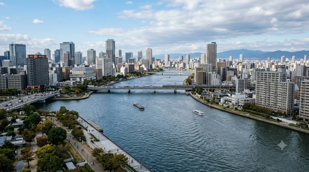
The Yodo River is the main river running through Osaka Prefecture, formed downstream from Lake Biwa in neighbouring Shiga Prefecture (its upper sections are known separately as the Seta and Uji rivers). Within the city, it's less a single sightseeing stop than a long green corridor: wide embankments with walking and cycling paths, open river views, and stretches used by locals for exercise and picnics rather than a tourist attraction with a set entrance.
Getting there
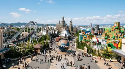
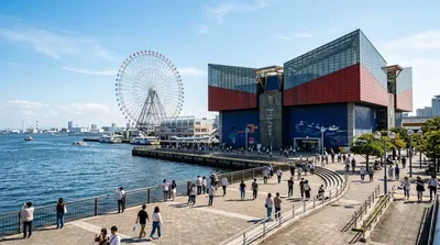
The river runs along the northern edge of central Osaka, so access depends on which stretch you want. Sections near Osaka Castle Park or the Kema Sakuranomiya Park area are reachable in about 15-20 minutes by train from central Osaka stations such as Osaka or Umeda. The riverside area near Universal Studios Japan and the Aquarium is also easily reached by train from the city centre in a similar timeframe.
How long to spend
A short riverside walk can take as little as 30-45 minutes, but allow an hour or two if you plan to cycle along the embankment or combine it with a park visit.
When to go
The riverbanks near parks such as Kema Sakuranomiya are known for cherry blossoms in spring, which draws large crowds along that stretch in late March to early April. Outside of cherry blossom season, the river paths are generally quiet, and early morning or late afternoon works well for walking or cycling without the midday heat in summer.
Combine it with
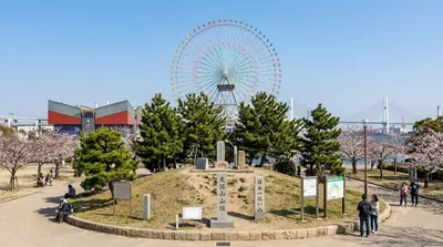
The stretch of the Yodo River near Osaka Bay sits close to several attractions: Universal Studios Japan is about 2.4km away, the Kyū-Yodo River (Old Yodo River) is roughly 2.9km away, Mount Tenpō is about 3km, and Osaka Aquarium Kaiyukan is around 3.3km. These are close enough to pair a riverside walk with a half-day covering the bay area.
出典:ウィキペディア・OpenStreetMap の公開データ · 2026年8月5日 更新 · 編集 World by City 編集部