Natur
Makomanai
Makomanai River
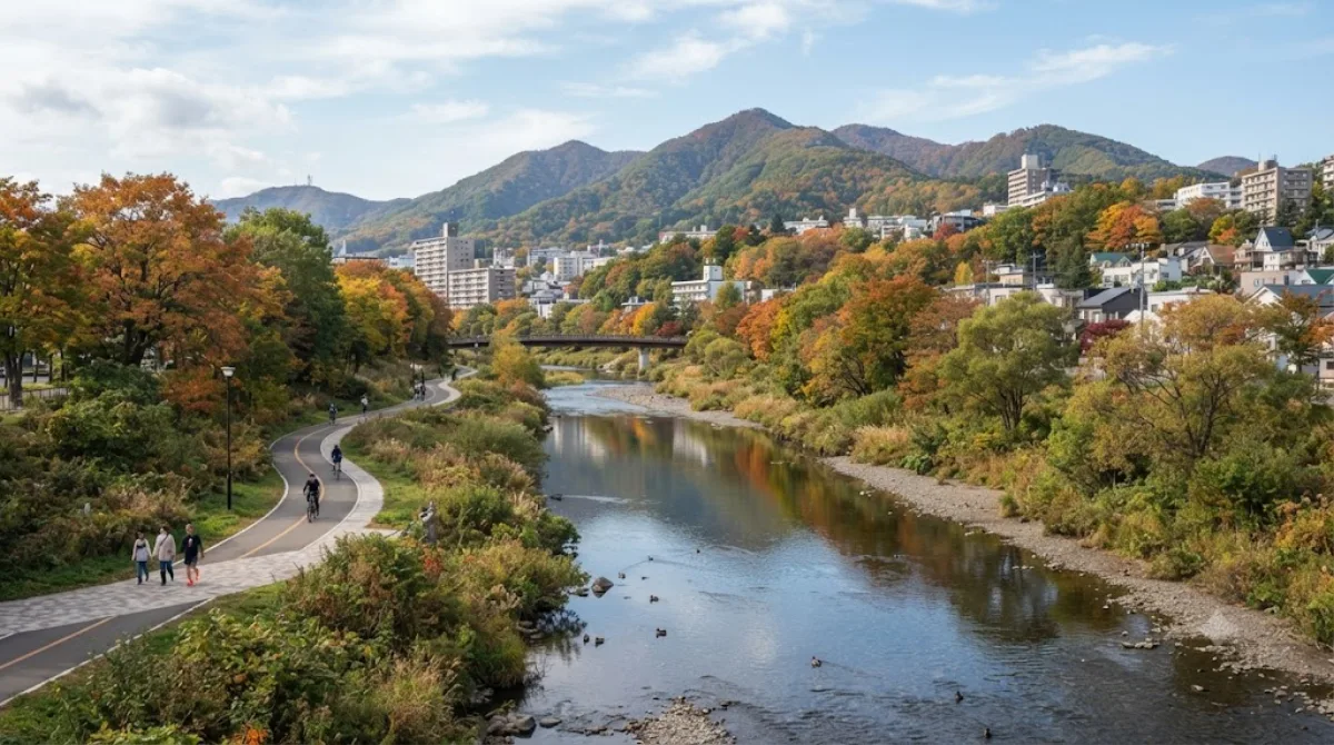
Makomanai River
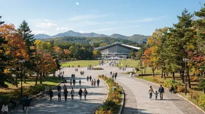
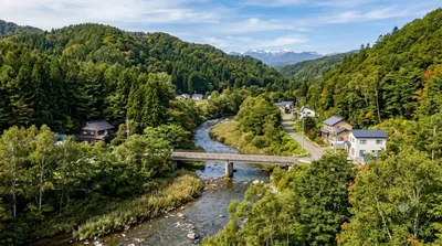
Der Makomanai River ist ein kleiner Nebenfluss des Toyohira in Sapporo. Er ist kein klassisches Touristenziel, sondern ein Ort des lokalen Alltags, der vor allem von Anwohnern zum Spazierengehen und Joggen genutzt wird. Besucher kommen hierher, um die saisonale Vegetation zu beobachten und dem Fließen des Wassers zuzuhören. Das Flussufer ist schmal und unauffällig, was den Ort zu einem ruhigen Ort für einen kurzen Spaziergang macht.
Anreise und Zeitplanung
Vom Stadtzentrum von Sapporo aus ist der Fluss am besten mit öffentlichen Verkehrsmitteln oder dem Taxi zu erreichen. Die Fahrtzeit beträgt je nach Verkehrslage und Startpunkt etwa 30 bis 45 Minuten. Da es sich um einen bescheidenen Naturraum ohne große Sehenswürdigkeiten handelt, reicht eine Zeitspanne von 30 bis 60 Minuten aus, um das Gebiet zu erkunden.
Besuchsempfehlung
Ein Besuch ist zu jeder Jahreszeit möglich, wobei sich die Vegetation je nach Saison verändert. Es ist ein Ort, der selten überlaufen ist, sodass man zu den meisten Tageszeiten Ruhe findet. Wer die Natur in einer entspannten Atmosphäre erleben möchte, sollte den Fluss als ergänzenden Teil eines Tagesausflugs betrachten.
Kombinationsmöglichkeiten
Aufgrund der Lage lassen sich weitere Ziele in der Umgebung leicht integrieren:
- Makomanai Park: 0,3 km entfernt
- Kitanosawa River: 0,4 km entfernt
- Mount Tenjin: 2,4 km entfernt
- Mount Moiwa: 2,8 km entfernt
Aktualisiert 20. September 2026 · Redaktion die World by City-Redaktion
 GetYourGuide
 Klook
Klook
 Tiqets
 KKday
KKday
 WeGoTrip
 Booking.com
 Hotels.com