Nature
Makomanai River
What it is
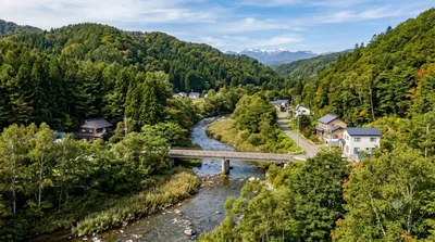
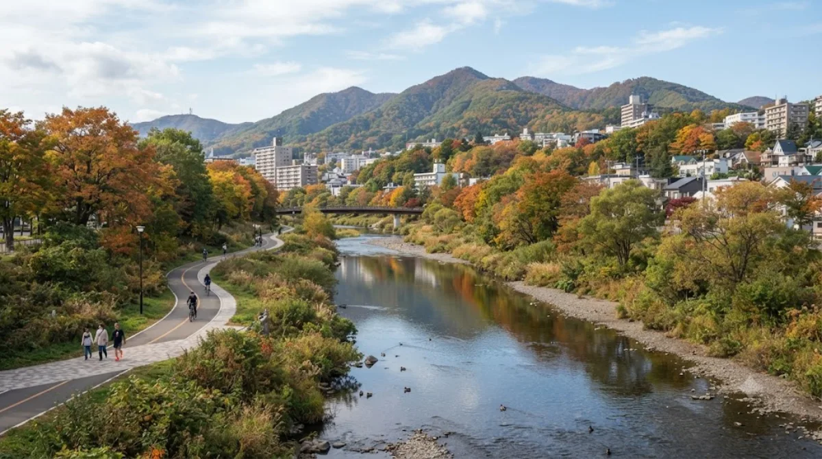
The Makomanai River is a tributary of the Toyohira River, running about 21 kilometres through southern Sapporo. It's a modest urban and semi-rural waterway rather than a scenic destination in its own right — the appeal is walking or cycling along its banks as a quiet, green corridor through the city, with the surrounding parkland and hills nearby giving it more context than the river alone would offer.
Getting there
The river runs through the Makomanai area of Minami-ku, reachable from central Sapporo (Odori/Susukino) via the Namboku subway line to Makomanai Station, then a short walk or bus connection to the riverside path. From the station, allow around 30-40 minutes total from the city centre, including the subway ride.
Time to allow
An hour or so is enough for a walk along a stretch of the riverbank. If combining it with the adjacent park, plan for two to three hours.
When to go
Daylight hours are best for walking the paths, and the area is generally uncrowded compared to central Sapporo's main attractions. Autumn foliage and spring greenery along the banks make those seasons pleasant for a walk; winter snow cover can make some paths harder going.
Combine it with
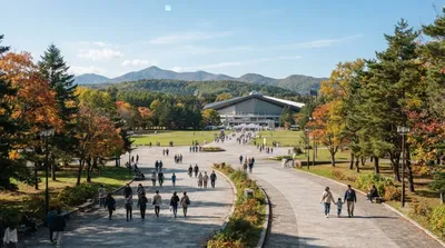
- Makomanai Park (0.3km) — directly adjacent, an easy extension of the same visit.
- Kitanosawa River (0.4km) — another nearby waterway within easy walking distance.
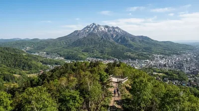
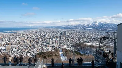
- Mount Tenjin (2.4km) and Mount Moiwa (2.8km) — both reachable as a longer add-on if you want elevated views over the city.
Updated September 20, 2026 · Edited by the World by City editors
 GetYourGuide
 Klook
Klook
 Tiqets
 KKday
KKday
 WeGoTrip
 Booking.com
 Hotels.com