自然
真駒内川
Makomanai River
真駒内川の概要
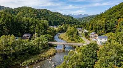
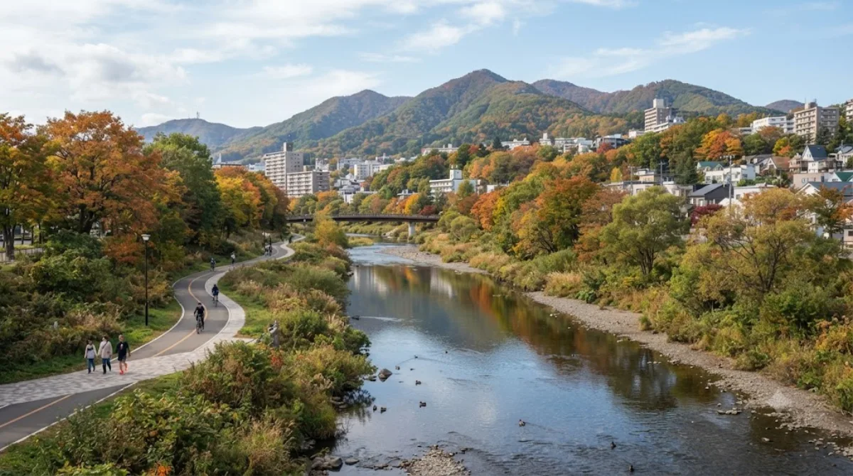
真駒内川は、札幌市を流れる豊平川の支流です。観光地として開発された場所ではなく、地域住民がウォーキングやジョギングに利用する日常的な空間です。川幅は狭く、劇的な景観はありませんが、川沿いを歩くことで季節ごとの緑や水の流れを静かに感じることができます。観光の目的地とするよりも、散歩コースとして利用するのに適しています。
アクセスと所要時間
札幌市中心部からは、地下鉄南北線を利用して真駒内駅方面へ向かいます。移動時間は約20分から30分程度です。駅から川沿いのエリアまでは徒歩でアクセス可能です。
滞在時間の目安
川沿いの散策に充てる時間は、30分から1時間程度で十分です。特に見どころが点在しているわけではないため、軽い運動や気分転換としての滞在が一般的です。
訪問のタイミング
時間帯は、日中の明るい時間帯の訪問を推奨します。季節については、新緑の春や紅葉の秋など、植物の変化が見られる時期が適しています。地域住民の利用が中心であるため、観光客で激しく混雑することは稀です。
周辺の組み合わせ
近隣には自然豊かなスポットが点在しており、合わせて訪れることが可能です。以下の場所へのアクセスが容易です。
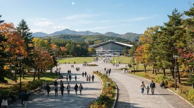
- 真駒内公園(約0.3km):徒歩圏内にあり、合わせて散策できます。
- 北の沢川(約0.4km):近くを流れる別の川であり、同様に自然を感じられます。
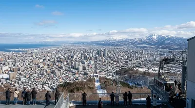
- 天神山(約2.4km):少し距離がありますが、地域の地形を確認しながら移動できます。
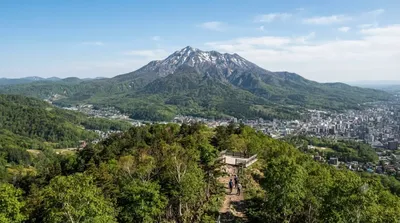
- 藻岩山(約2.8km):札幌の代表的な山であり、ルートに組み込むことが可能です。
2026年9月20日 更新 · 編集 World by City 編集部
 GetYourGuide
 Klook
Klook
 Tiqets
 KKday
KKday
 WeGoTrip
 Booking.com
 Hotels.com