World by City

自然

天神山

Mount Tenjin

天神山

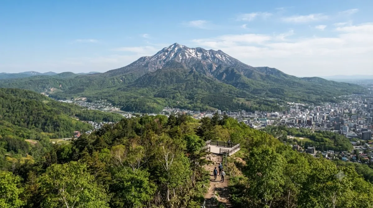
天神山(てんじんやま)とは、北海道札幌市豊平区平岸にある小さな山である。名称の由来は、天満宮を祀ったことによる。

What it is

Mount Tenjin is a small hill on the southern edge of Sapporo, part of the Makomanai area near the city's ring of low mountains. It's a modest, local-scale outing rather than a major peak — the appeal is a forested walk and a view over the surrounding city and hills, without the crowds or infrastructure of Sapporo's bigger lookout points like Mount Moiwa.

Getting there

The mountain sits south of central Sapporo, in the Makomanai district. From downtown, the most practical route is the subway Namboku Line to Makomanai Station, followed by a bus or taxi toward the base, or a taxi the whole way if you'd rather skip transfers. Allow roughly 40–50 minutes door to door from the city centre, depending on connections.

Time to allow

Plan for one to two hours if you're walking up and back, more if you want to linger at the top or explore side trails. It's not a long excursion and works well as a half-day add-on rather than a full-day trip.

When to go

Morning or early afternoon gives the best light for views and keeps you clear of any afternoon heat in summer. Autumn is worth considering for foliage color on the slopes. In winter, trails can be icy or snow-covered, so proper footwear matters if you go outside the main season. It's a low-key spot generally, so heavy crowds aren't a major concern, but weekends may bring more local hikers and dog-walkers.

What to combine it with

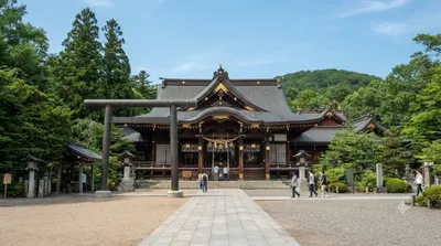
  • Sapporo Gokoku Shrine (2.5km) — a Shinto shrine that pairs naturally with a nature-focused outing in this area.
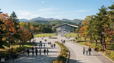
  • Makomanai Park (2.6km) — a larger green space nearby, good for a relaxed walk before or after the hill.
  • Makomanai River (2.4km) and Kitanosawa River (2.8km) — both within easy reach if you want to extend the walk along the water.

出典:ウィキペディア・OpenStreetMap の公開データ · 2026年8月5日 更新 · 編集 World by City 編集部

チケット・ツアー予約

入場料や営業時間は変わりやすいためここには載せていません。下で現在販売中のチケットと価格をご確認ください。事前購入で待ち時間を減らせる場所もあります。

検索結果にこの場所のチケットがない場合もあります。入場無料、または現地販売のみの施設もあります。

天神山 周辺の宿

歩いて行ける距離から近い順に並べています。距離は直線距離です。

地図 © OpenStreetMap 寄稿者。直線でつないでいるため実際の経路とは異なります。

天神山 周辺の宿

宿の位置と名称は OpenStreetMap のデータに基づきます。価格と空室は各予約サイトでご確認ください。

あわせて訪れたい場所

真駒内川

自然

真駒内川

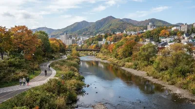
真駒内川(まこまないがわ)は、石狩川水系豊平川の支流で、北海道札幌市南区を流れる河川である。長さ約21 km(キロメートル)、流域面積は約37 km2(平方キロメートル)ある。平均河床勾配1/60の急流であり、下流側15 kmの区間は北海道が管理する一級河川に指定されている。豊平川の支流としては、流路延長約41 kmの厚別川に次いで長い河川である。

ここから 2.4 km

札幌護国神社

寺社・宗教施設

札幌護国神社

ここから 2.5 km

北海道立真駒内公園

公園・庭園

北海道立真駒内公園

北海道立真駒内公園(ほっかいどうりつまこまないこうえん)は、札幌市南区にある公園。

ここから 2.6 km

北の沢川

自然

北の沢川

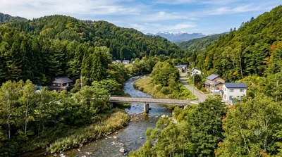
北の沢川(きたのさわがわ)は、北海道札幌市南区を流れる石狩川水系豊平川支流の河川である。元は四号の沢(よんごうのさわ)といい、1941年に北の沢と改称された。札幌市が管理する普通河川に属する。

ここから 2.8 km

札幌コンサートホールKitara

文化・劇場

札幌コンサートホールKitara

札幌コンサートホール Kitara は、札幌市中央区にあるコンサートホール。「優良ホール100選」選定。愛称の「Kitara」は公募による。札幌市の音楽講師・内村直子氏の発案が選定された。ギリシャ神話の芸術の神・アポローンの楽器「キタラ」と方位の「北」の意味が込められている。竪琴である「キタラ」のまっすぐに張られた弦には調和や未来への希望の意味があることなどが選定理由。楽器の「キタラ」のスペルは"kithara"だが、浸透しにくいなどの理由から"t"と"a"の間にある"h"が省かれ"kitara"とされた。その音響は世界的と評価されており、その一例として1998年にバーミンガム市交響楽団を伴って演奏に訪れた指揮者サイモン・ラトルは「近代的...

ここから 2.8 km

札幌ハリストス正教会

寺社・宗教施設

札幌ハリストス正教会

札幌ハリストス正教会(さっぽろはりすとすせいきょうかい)は、日本ハリストス正教会に所属する正教会の教会である。

ここから 3.1 km