World by City

自然

北の沢川

Kitanosawa River
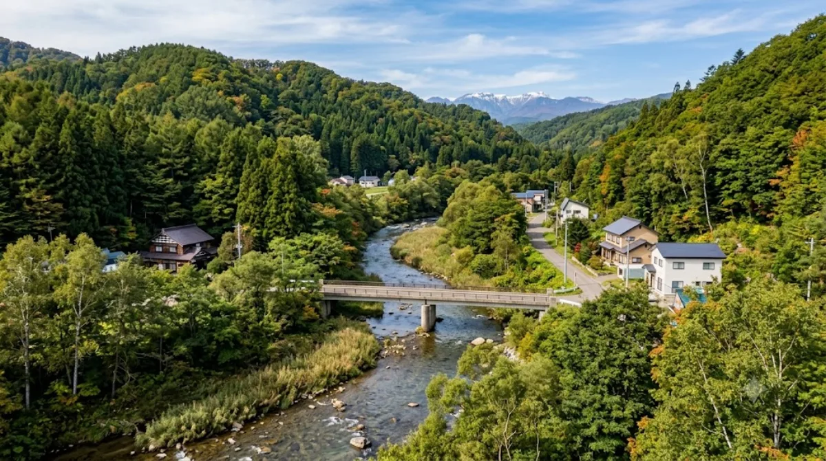
北の沢川

北の沢川(きたのさわがわ)は、北海道札幌市南区を流れる石狩川水系豊平川支流の河川である。元は四号の沢(よんごうのさわ)といい、1941年に北の沢と改称された。札幌市が管理する普通河川に属する。

What it is

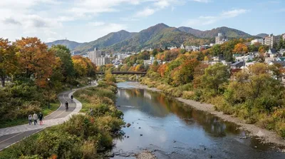
The Kitanosawa River is a small river running through southern Sapporo, near the base of Mount Moiwa. It's not a landmark destination in itself, but the river valley offers a quiet walk along running water and greenery, a contrast to the city center a short distance away. It's best thought of as a pleasant local stretch of nature rather than a sight to plan a whole day around.

Getting there

From central Sapporo (Odori or Sapporo Station area), the area is generally reached by a combination of subway or bus and some walking, taking roughly 30-40 minutes depending on the exact starting point and route. Having a map or navigation app on hand is useful, as the riverside path itself isn't a major transit hub.

How much time to allow

An hour or so is enough to walk a stretch of the riverside and take in the surroundings. Those combining it with a walk toward Makomanai Park or the base of Mount Moiwa should plan for two to three hours in total.

When to go

Mornings or late afternoons are pleasant for a walk here, especially outside the summer heat. Autumn foliage along the river is likely worth timing a visit around, though this isn't a heavily touristed spot, so crowding isn't a major concern at any time of year. Winter walking paths may be icy, so appropriate footwear is worth considering.

What to combine it with

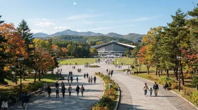
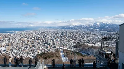
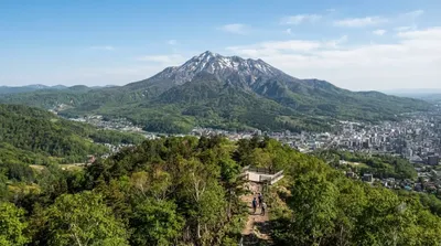
The Makomanai River runs close by, only about 0.4km away, making it easy to extend a riverside walk between the two. Makomanai Park is about 0.5km away and suits a longer outdoor visit. Mount Moiwa (2.7km) and Mount Tenjin (2.8km) are further afield but reachable as a half-day combination if you don't mind extra travel time, particularly for those interested in a viewpoint over the city.

出典:ウィキペディア・OpenStreetMap の公開データ · 2026年8月5日 更新 · 編集 World by City 編集部

チケット・ツアー予約

入場料や営業時間は変わりやすいためここには載せていません。下で現在販売中のチケットと価格をご確認ください。事前購入で待ち時間を減らせる場所もあります。

検索結果にこの場所のチケットがない場合もあります。入場無料、または現地販売のみの施設もあります。

北の沢川 周辺の宿

歩いて行ける距離から近い順に並べています。距離は直線距離です。

地図 © OpenStreetMap 寄稿者。直線でつないでいるため実際の経路とは異なります。

北の沢川 周辺の宿

宿の位置と名称は OpenStreetMap のデータに基づきます。価格と空室は各予約サイトでご確認ください。

あわせて訪れたい場所