自然
硬石山
Mount Kataishi
What it is
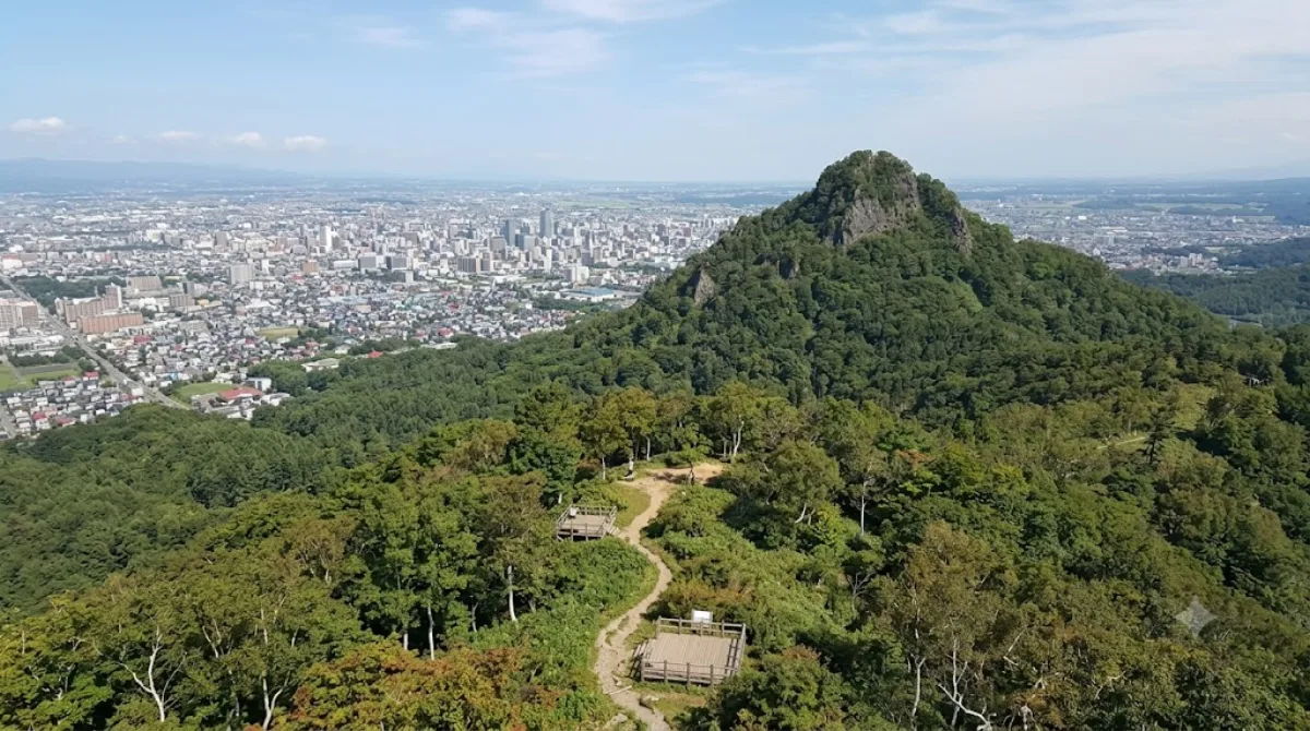
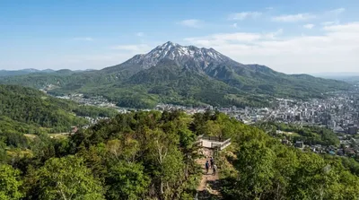
Mount Kataishi is a low forested peak on the southern edge of Sapporo, within the Makomanai Park area. It's a local hiking hill rather than a landmark destination — the appeal is a straightforward wooded trail and views over the surrounding hills and city outskirts, without the crowds of Sapporo's better-known peaks like Moiwa.
Getting there
From central Sapporo, the mountain is reached via the southern suburbs near Makomanai. Driving or taking a taxi from the city centre typically takes around 30–40 minutes depending on traffic and where the trailhead access point is. Public transit options are limited this far out, so a car is the more practical choice.
How much time to allow
Depending on the trail and pace, plan for roughly two to three hours round trip if hiking to the summit and back, plus extra time if you want to linger at viewpoints or combine it with a walk through nearby Makomanai Park.
When to go
Go in the morning to have more daylight and cooler temperatures, especially if visiting in summer. Since this is a modest, lesser-known hill rather than a major attraction, it generally isn't crowded, but trail conditions can be muddy or slippery after rain, and snow will make the route difficult or unsafe outside the warmer months.
What to combine it with
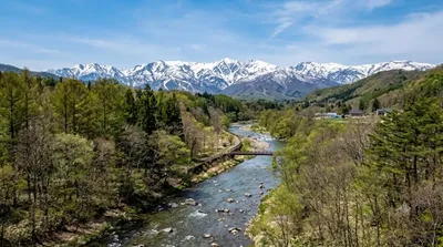
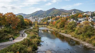
- Anano River (1.1km) — close enough to add as a short stop before or after the hike.
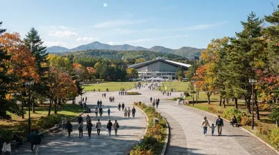
- Makomanai Park (3.9km) — a good option for a relaxed walk if you want more green space without another climb.
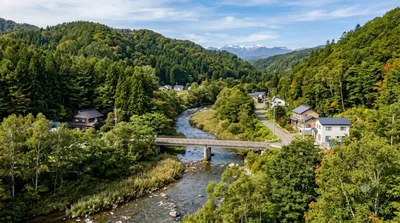
- Kitanosawa River (3.8km) and Makomanai River (4.1km) — both within a similar radius and easy to fold into a longer day exploring the area on foot or by car.
出典:ウィキペディア・OpenStreetMap の公開データ · 2026年8月5日 更新 · 編集 World by City 編集部