World by City

自然

穴の川

Anano River

穴の川

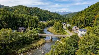
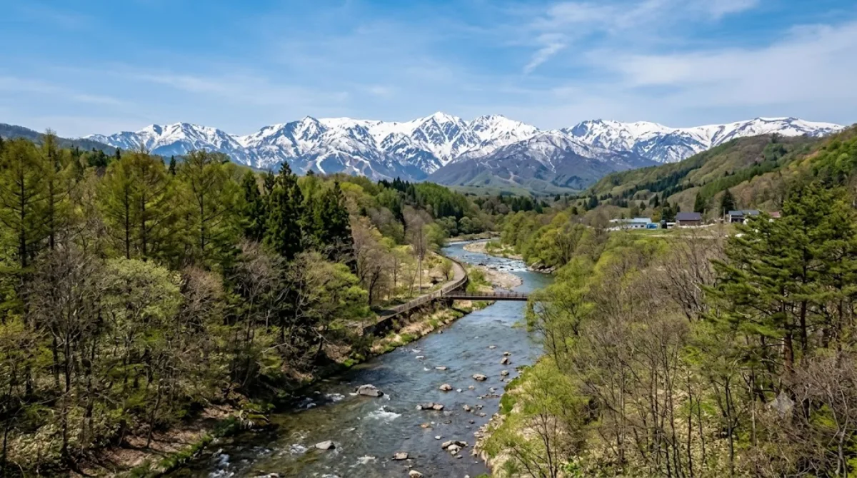
穴の川(あなのかわ)は、北海道札幌市南区石山地区を流れる石狩川水系豊平川支流の一級河川である。長さ9.4kmのうち、下流より4.2kmの区間と穴の川放水路の0.1kmは一級河川として北海道が管理している。

What it is

The Anano River is a small waterway in the Ishiyama area of Sapporo's Minami-ku ward, running about 9.4 km before joining the larger Toyohira River. It's a quiet, unremarkable-in-a-good-way stretch of water flowing through a residential and semi-rural part of southern Sapporo — the kind of place locals walk their dogs or jog alongside rather than a destination attraction in its own right. It suits travellers who want a break from downtown and a look at ordinary Sapporo neighbourhood life along a green corridor.

Getting there

Minami-ku is south of central Sapporo, reachable by local train or bus in roughly 30-40 minutes from the city centre. A car or taxi covers the same distance a bit faster, depending on traffic. There isn't a single defined "entrance" — access points are scattered along the riverbank in the Ishiyama neighbourhood.

Time to allow

An hour or so is enough for a walk along a section of the riverbank. There's no single sight to linger at, so visits tend to be short and casual rather than a planned half-day stop.

When to go

A daytime visit works best for walking and photography. It's not a crowded spot, so timing isn't critical, though weekend mornings may see slightly more local foot traffic. Riverside paths can be less comfortable in heavy rain or after snowfall, so check conditions if visiting outside summer.

Combine it with

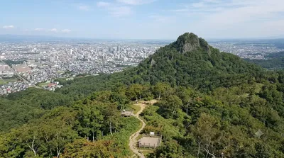
  • Mount Kataishi (1.1 km) — close enough to pair with the river for a short outdoor outing.
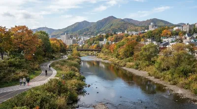
  • Kitanosawa River (4 km) and Makomanai River (4.2 km) — other waterways in the same southern Sapporo area, useful if you're exploring the region's rivers.
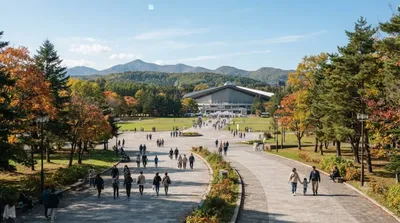
  • Makomanai Park (4 km) — a nearby green space to extend a nature-focused day in Minami-ku.

出典:ウィキペディア・OpenStreetMap の公開データ · 2026年8月5日 更新 · 編集 World by City 編集部

チケット・ツアー予約

入場料や営業時間は変わりやすいためここには載せていません。下で現在販売中のチケットと価格をご確認ください。事前購入で待ち時間を減らせる場所もあります。

検索結果にこの場所のチケットがない場合もあります。入場無料、または現地販売のみの施設もあります。

穴の川 周辺の宿

歩いて行ける距離から近い順に並べています。距離は直線距離です。

地図 © OpenStreetMap 寄稿者。直線でつないでいるため実際の経路とは異なります。

穴の川 周辺の宿

宿の位置と名称は OpenStreetMap のデータに基づきます。価格と空室は各予約サイトでご確認ください。

あわせて訪れたい場所

硬石山

自然

硬石山

ここから 1.1 km

北の沢川

自然

北の沢川

北の沢川(きたのさわがわ)は、北海道札幌市南区を流れる石狩川水系豊平川支流の河川である。元は四号の沢(よんごうのさわ)といい、1941年に北の沢と改称された。札幌市が管理する普通河川に属する。

ここから 4.0 km

北海道立真駒内公園

公園・庭園

北海道立真駒内公園

北海道立真駒内公園(ほっかいどうりつまこまないこうえん)は、札幌市南区にある公園。

ここから 4.0 km

真駒内川

自然

真駒内川

真駒内川(まこまないがわ)は、石狩川水系豊平川の支流で、北海道札幌市南区を流れる河川である。長さ約21 km(キロメートル)、流域面積は約37 km2(平方キロメートル)ある。平均河床勾配1/60の急流であり、下流側15 kmの区間は北海道が管理する一級河川に指定されている。豊平川の支流としては、流路延長約41 kmの厚別川に次いで長い河川である。

ここから 4.2 km

藻岩山

自然

藻岩山

藻岩山(もいわやま)は、北海道札幌市の中心部から南西約5キロメートル(札幌駅の南西6km)に位置する標高531メートル (530.9m〈531.03m〉) の山。

ここから 6.2 km

さっぽろ羊ヶ丘展望台

展望・ランドマーク

さっぽろ羊ヶ丘展望台

さっぽろ羊ヶ丘展望台 は、北海道札幌市豊平区羊ケ丘にある北海道内でも屈指の観光名所である。南東方向から札幌市街を展望でき、それを背景として腕を伸ばしたウィリアム・スミス・クラーク博士の全身像が展望台内に置かれている風景は有名である。

ここから 6.2 km