World by City

自然

藻岩山

Mount Moiwa

藻岩山

藻岩山(もいわやま)は、北海道札幌市の中心部から南西約5キロメートル(札幌駅の南西6km)に位置する標高531メートル (530.9m〈531.03m〉) の山。

Mount Moiwa

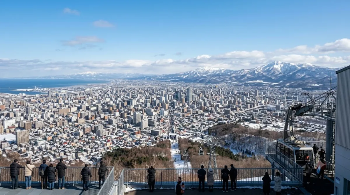
Mount Moiwa is a low mountain on the southwestern edge of Sapporo, reached by ropeway (with a cable car link partway up) rather than a long hike. At the summit there's an observation deck looking out over the city and, on clear days, toward the surrounding hills. In winter the slopes operate as a small ski resort, so the mountain serves double duty as a lookout point and a local ski hill for Sapporo residents.

Getting there

From central Sapporo it's roughly a 20-30 minute journey by tram and bus (or taxi) to the ropeway base station, followed by the ropeway and cable car ride up. It's a straightforward half-day outing rather than a full-day excursion.

How long to stay

Allow around 1.5 to 2 hours in total, including the ride up and down and time at the observation deck. Add more if you plan to ski or ride in winter.

When to go

Evening visits are popular for the night view of the city lights, which means the ropeway and summit deck can get crowded around sunset, especially on weekends. Clear, low-humidity days give the best visibility; overcast or hazy conditions will limit the view considerably.

Nearby

  • Asahiyama Memorial Park (2 km) - close enough to combine into the same outing.
  • Kitanosawa River (2.7 km) - a nearby waterway walk.
  • Makomanai River (2.8 km) and Makomanai Park (3.1 km) - can be linked together if you have transport and extra time.

出典:ウィキペディア・OpenStreetMap の公開データ · 2026年8月5日 更新 · 編集 World by City 編集部

チケット・ツアー予約

入場料や営業時間は変わりやすいためここには載せていません。下で現在販売中のチケットと価格をご確認ください。事前購入で待ち時間を減らせる場所もあります。

検索結果にこの場所のチケットがない場合もあります。入場無料、または現地販売のみの施設もあります。

藻岩山 周辺の宿

歩いて行ける距離から近い順に並べています。距離は直線距離です。

地図 © OpenStreetMap 寄稿者。直線でつないでいるため実際の経路とは異なります。

藻岩山 周辺の宿

宿の位置と名称は OpenStreetMap のデータに基づきます。価格と空室は各予約サイトでご確認ください。

あわせて訪れたい場所

旭山記念公園

公園・庭園

旭山記念公園

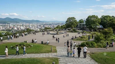
Asahiyama Memorial Park is a park located in Chūō-ku, Sapporo, Hokkaidō, Japan. The park's peak, at 137.5 metres (451 ft) above sea level, offers a great panoramic view of Sapporo, and the Sea of Japan beyond.

ここから 2.0 km

北の沢川

自然

北の沢川

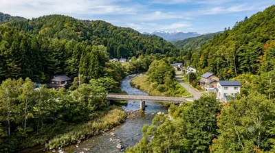
北の沢川(きたのさわがわ)は、北海道札幌市南区を流れる石狩川水系豊平川支流の河川である。元は四号の沢(よんごうのさわ)といい、1941年に北の沢と改称された。札幌市が管理する普通河川に属する。

ここから 2.7 km

真駒内川

自然

真駒内川

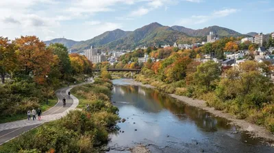
真駒内川(まこまないがわ)は、石狩川水系豊平川の支流で、北海道札幌市南区を流れる河川である。長さ約21 km(キロメートル)、流域面積は約37 km2(平方キロメートル)ある。平均河床勾配1/60の急流であり、下流側15 kmの区間は北海道が管理する一級河川に指定されている。豊平川の支流としては、流路延長約41 kmの厚別川に次いで長い河川である。

ここから 2.8 km

北海道立真駒内公園

公園・庭園

北海道立真駒内公園

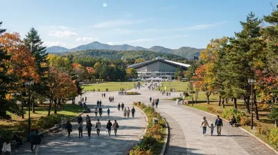
北海道立真駒内公園(ほっかいどうりつまこまないこうえん)は、札幌市南区にある公園。

ここから 3.1 km

札幌護国神社

寺社・宗教施設

札幌護国神社

ここから 3.2 km

円山公園

公園・庭園

円山公園

Maruyama Park is a park in Chūō-ku, Sapporo, Hokkaido, Japan. The park was modeled after the park with the same name sited in Kyoto.

ここから 3.3 km