Natur
Berg Kataishi
Mount Kataishi
Mount Kataishi
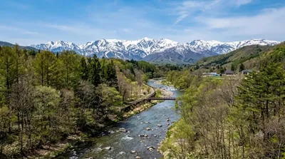
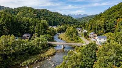
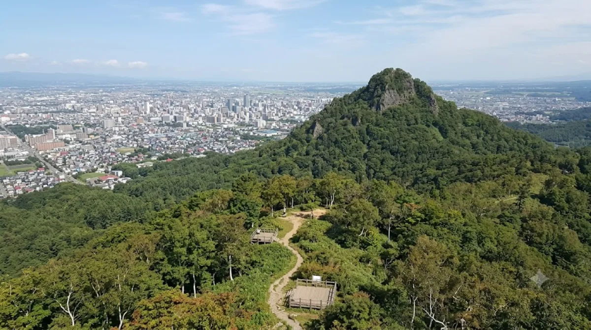
Der Mount Kataishi ist ein niedriger Berg im Stadtteil Minami von Sapporo. Er ist historisch als ehemaliger Granitbruch bekannt; das dort gewonnene Gestein wurde für viele der älteren Gebäude der Stadt verwendet. Heute wird das Gebiet primär für Spaziergänge und leichte Wanderungen genutzt.
Anreise und Zeitplanung
Der Berg liegt im Makomanai-Viertel. Von der Innenstadt von Sapporo aus ist er mit öffentlichen Verkehrsmitteln oder dem Auto erreichbar. Die Fahrtzeit beträgt je nach Verkehrslage etwa 30 bis 45 Minuten.
Für den Aufstieg und den Abstieg sowie eine kurze Pause auf dem Gipfel sollten Besucher etwa 2 bis 3 Stunden einplanen.
Beste Besuchszeit
Die Wanderwege sind besonders in den Frühlings- und Herbstmonaten begehbar. In den Wintermonaten kann Schnee die Pfade bedecken. Es wird empfohlen, die Wanderung bei Tageslicht durchzuführen. Da es sich um ein lokales Naherholungsgebiet handelt, ist der Andrang im Vergleich zu den zentralen Sehenswürdigkeiten der Stadt gering.
Kombinationsmöglichkeiten
In der näheren Umgebung befinden sich weitere Naturgebiete und Parks, die mit dem Besuch des Berges kombiniert werden können:
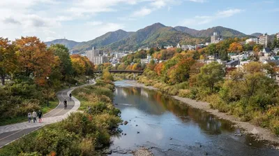
- Anano River: 1,1 km entfernt
- Kitanosawa River: 3,8 km entfernt
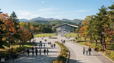
- Makomanai Park: 3,9 km entfernt
- Makomanai River: 4,1 km entfernt
Aktualisiert 20. September 2026 · Redaktion die World by City-Redaktion
 GetYourGuide
 Klook
Klook
 Tiqets
 KKday
KKday
 WeGoTrip
 Booking.com
 Hotels.com