Natur
Xindian
Xindian River
Überblick
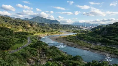
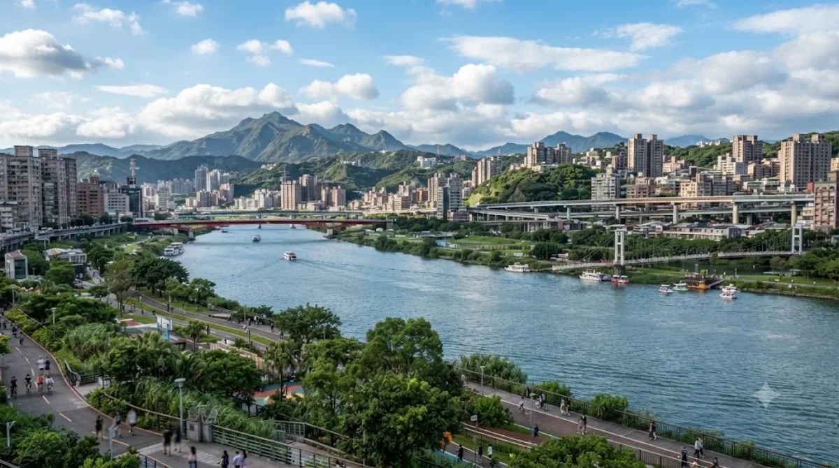
Der Xindian-Fluss fließt über 82 Kilometer zwischen Neu-Taipeh und Taipeh durch den Norden Taiwans. Es gibt vor Ort keine großen Sehenswürdigkeiten. Reisende besuchen den Flussabschnitt vor allem, um auf den befestigten Wegen entlang der Uferparks spazieren zu gehen oder Rad zu fahren. Das Areal bietet eine entspannte Alltagsatmosphäre abseits des dichten Stadtzentrums.
Anreise
Vom Stadtzentrum aus ist das Flussufer mit der MRT und einem kurzen Fußweg in etwa 15 bis 30 Minuten erreichbar.
Zeitaufwand
Für einen Spaziergang im Park genügen 1 bis 2 Stunden. Wer eine längere Radtour auf den Wegen plant, sollte etwa 3 Stunden einplanen.
Beste Besuchszeit
Wegen des oft geringen Schattens sind die frühen Morgenstunden oder der späte Nachmittag ideal, um der Mittagshitze zu entgehen. Zum Feierabend und an Wochenenden füllen sich die Wege spürbar mit Spaziergängern und Sportlern. Bei starkem Regen sollte der Bereich am Wasser gemieden werden.
In der Umgebung
In der Nähe liegen folgende Ziele:
- Dahan River (0,5 km)
- Bangka Lungshan Temple (1,6 km)
- Bangka Qingshan Temple (1,9 km)
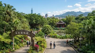
- Taipei Botanical Garden (2,7 km)
Aktualisiert 20. September 2026 · Redaktion die World by City-Redaktion
 GetYourGuide
 Klook
Klook
 Tiqets
 KKday
KKday
 WeGoTrip
 Booking.com
 Hotels.com