Natur
Sumida
Sumida River
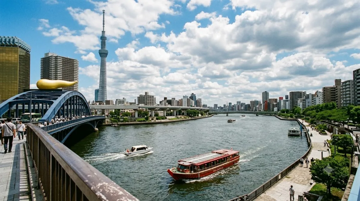
Der Sumida-Fluss
Der Sumida-da-Fluss fließt durch das Zentrum von Tokio und verbindet den Arakawa-Fluss mit der Bucht von Tokio. Er durchquert Stadtteile wie Asakusa und Ryogoku. Reisende besuchen das Gebiet, um die Uferpromenaden zu begehen, die Brücken zu überqueren oder die Stadtlandschaft per Ausflugsboot vom Wasser aus zu betrachten.
Anreise und Zeitplanung
Da der Fluss direkt durch das Stadtzentrum verläuft, ist er mit den öffentlichen Verkehrsmitteln leicht erreichbar. Je nach Startpunkt im Zentrum dauert die Fahrt etwa 15 bis 30 Minuten. Für einen Spaziergang entlang der Ufer oder eine kurze Bootsfahrt sollten etwa 2 bis 4 Stunden eingeplant werden.
Besuchszeit und Hinweise
Der Fluss ist zu jeder Tageszeit zugänglich. In der Kirschblütenzeit im Frühjahr sowie während der Feuerwerksfestivals im Sommer ist in diesem Bereich mit sehr großen Menschenmengen zu rechnen. Wer Ruhe sucht, sollte diese Zeiträume meiden oder die frühen Morgenstunden wählen.
Kombinationsmöglichkeiten
In der Umgebung befinden sich weitere Sehenswürdigkeiten, die in die Reiseplanung integriert werden können:
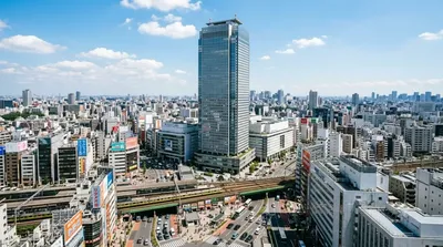
- Sunshine 60 (ca. 6,5 km entfernt)
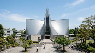
- St. Mary's Cathedral (ca. 8,1 km entfernt)
- Ueno Zoo (ca. 8,5 km entfernt)
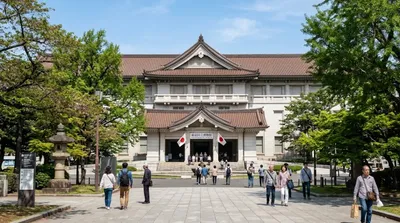
- Tokio Nationalmuseum (ca. 8,5 km entfernt)
Aktualisiert 20. September 2026 · Redaktion die World by City-Redaktion
 GetYourGuide
 Klook
Klook
 Tiqets
 KKday
KKday
 WeGoTrip
 Booking.com
 Hotels.com