自然
隅田川
Sumida River
隅田川(すみだがわ)は、東京都北区の岩淵水門から東京湾に注ぐ全長23.5キロメートルの一級河川、荒川放水路が荒川と改名される以前の荒川の本流である。途中で新河岸川・石神井川・神田川・日本橋川などの支流河川と合流する。古くは墨田川、角田川とも書いた。
What it is
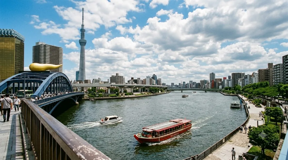
The Sumida River runs through central Tokyo from Iwabuchi, where it branches off the Arakawa River, down to Tokyo Bay. It's less a single sight than a corridor: promenades, bridges and parks line its banks, and the appeal is walking or cruising alongside it rather than viewing one fixed landmark. The stretch near Asakusa, with views toward Tokyo Skytree across the water, is the most commonly visited section.
Getting there
The riverbanks are reachable from several points in central Tokyo by train or subway; the Asakusa area, a common starting point, is about 20-30 minutes from central stations like Tokyo or Shinjuku. Water buses also run along parts of the river, offering a way to travel between districts like Asakusa and Odaiba while seeing the river itself.
How much time to allow
A walk along one section of the riverside park, such as near Asakusa, can take under an hour. If combining it with a boat ride or a longer stretch of walking between bridges, allow two to three hours.
When to go
Riverside paths get busy on weekends and during cherry blossom season, when the Sumida Park section along the banks is a popular hanami spot. Early morning or weekday visits are quieter. Evenings can offer good views of illuminated bridges and Tokyo Skytree.
Combine with
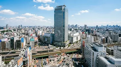
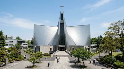
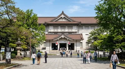
Ueno Zoo and the Tokyo National Museum sit about 8.5km away and pair well as a single day covering Ueno Park's museums and gardens. Sunshine 60 (6.5km) and St. Mary's Cathedral (8.1km) are further out but can be worked into a broader itinerary through Ikebukuro and Bunkyo.
出典:ウィキペディア・OpenStreetMap の公開データ · 2026年8月5日 更新 · 編集 World by City 編集部