展望・ランドマーク
サトーンユニークタワー
Sathorn Unique Tower
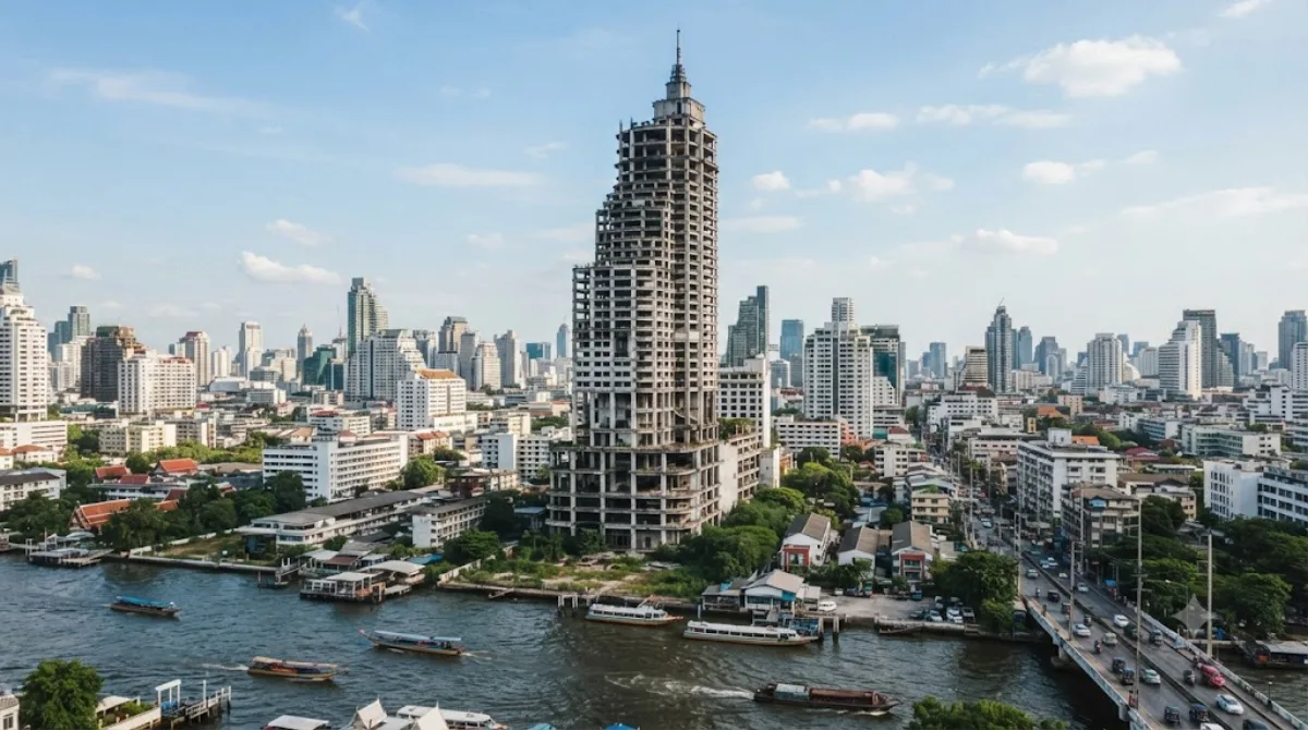
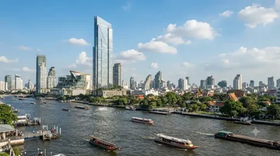
싸톤 유니크 타워(สาธร ยูนีค ทาวเวอร์, 영어: Sathorn Unique Tower)는 태국 방콕 싸톤에 위치한 미완성 마천루다. 고층 콘도미니엄 단지로 계획되었으나, 건물의 약 80%가 완성된 시점인 1997년 아시아 금융 위기 동안 건설이 중단되었다. 싸톤 유니크 타워는 현재 방콕에 남겨진 수많은 방치된 건물들 중 가장 눈에 띄는 건물 중 하나이며, 도시 탐험가들의 목적지가 되었다.
What it is
Sathorn Unique Tower is an unfinished high-rise that was meant to become a condominium complex. Construction stopped during the 1997 Asian financial crisis when the building was already around 80 percent complete, and it has stood exposed and abandoned ever since. It's one of the best-known derelict buildings in Bangkok, and people go for the experience of walking through a large concrete shell — bare stairwells, open floors, and views over the city from height, without any of the finishing that a normal skyscraper visit would have.
Getting there
The tower sits in the Sathon district near the Chao Phraya River. From central Bangkok, a taxi or ride-hailing app typically takes 15–30 minutes depending on traffic and starting point. It's also within walking distance of the Saphan Taksin BTS station area, so combining a river or BTS trip with a short walk is workable if you're coming from that side of town.
Time to allow
Most visits run one to two hours, including climbing multiple flights of stairs to reach the upper floors and taking in the views before heading back down.
When to go
Go during daylight hours, since the interior has no lighting and stairwells can be genuinely dark and uneven. Access to the building has periodically been restricted or informally controlled by caretakers, so treat entry as uncertain rather than guaranteed, and be prepared for the possibility of being turned away.
Nearby
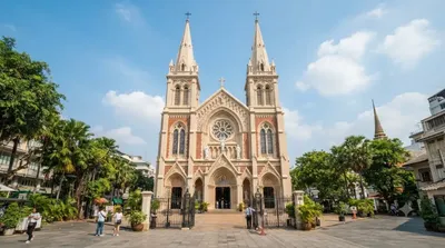
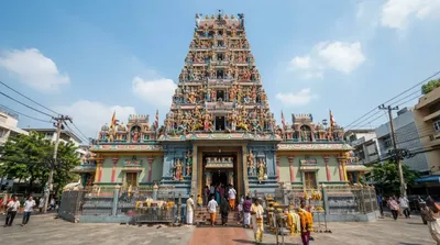
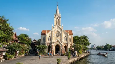
Assumption Cathedral and the Four Seasons Private Residences area are both about 0.7km away, making them easy to pair with a visit here. Sri Maha Mariamman Temple is roughly 1.1km off, and Holy Rosary Church is about 1.6km away — all walkable or a short ride apart, so a half-day loop through this part of Bangkok is straightforward to put together.
出典:ウィキペディア・OpenStreetMap の公開データ · 2026年8月5日 更新 · 編集 World by City 編集部