World by City

展望・ランドマーク

セブ・コルドバ連絡高速道路

Cebu–Cordova Link Expressway
セブ・コルドバ連絡高速道路

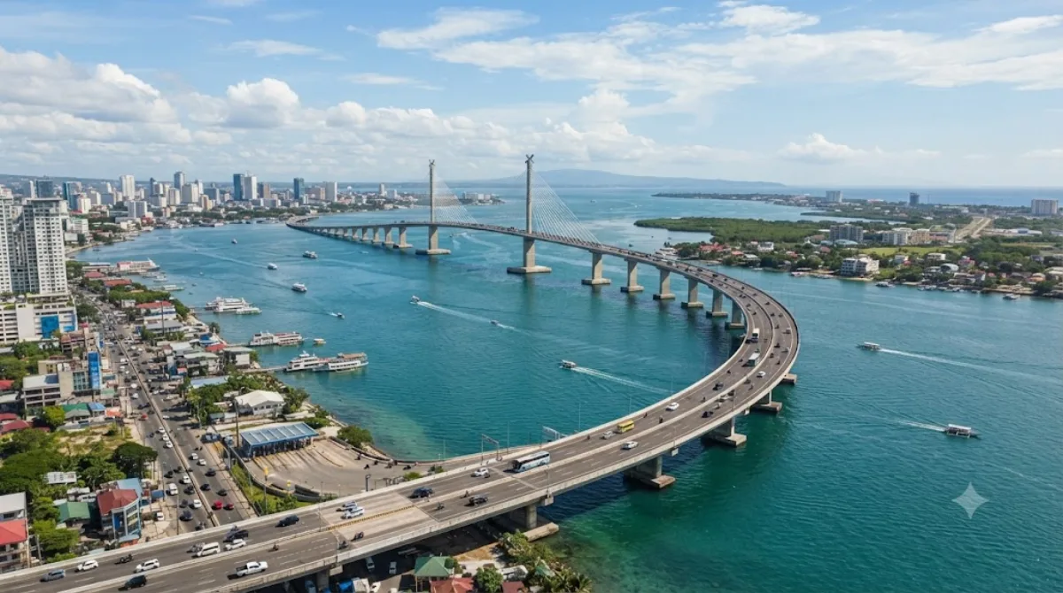
セブ・コルドバ連絡高速道路 は、フィリピンのメトロ・セブにある斜張橋。セブ市とセブ州コルドバ町を結ぶ全長8.9kmの有料高速道路である。マクタン海峡に架かり、セブ島とマクタン島を結ぶ第3の道路であり、セブ市とコルドバをつなぐ最初の道路である。2022年4月27日に開通した、フィリピンで最も長い斜張橋である。セブ・コルドバ橋、第三セブ・マクタンブリッジ とも呼ばれる。

What it is

CCLEX is the newest of the three bridges linking mainland Cebu to Mactan island, running about 8.9 kilometers over the Mactan Channel between the South Road Properties area in Cebu City and Cordova. Most visitors come not to cross for transport but for the view: the long, elevated span with its cable-stayed section makes for a striking sight, and it's become a popular spot for photos of the skyline and channel, especially around sunset.

Getting there

From central Cebu City, the South Road Properties approach to the bridge is roughly a 15-20 minute taxi or Grab ride, depending on traffic. There's no dedicated pedestrian walkway across the bridge itself, so most people view it from viewpoints near the SRP side or from Cordova, rather than walking the full span.

How much time to allow

An hour or so is usually enough to enjoy the viewpoint, take photos, and get a sense of the scale of the structure. Add extra time if you plan to also drive across to Cordova.

When to go

Late afternoon into evening is popular, when the bridge lighting turns on and the heat eases off. Weekends can draw more visitors and traffic to the viewpoint areas, so a weekday visit tends to be quieter.

Combine it with

Since the SRP-side viewpoint sits close to Cebu City's historic core, it pairs easily with a walk through downtown: Fort San Pedro (1.2km), Carbon Market (1.2km), Magellan's Cross (1.3km), and the Minor Basilica of the Holy Child (1.4km) are all within a short ride and make for a full half-day combining heritage sites with the bridge view.

出典:ウィキペディア・OpenStreetMap の公開データ · 2026年8月5日 更新 · 編集 World by City 編集部

チケット・ツアー予約

入場料や営業時間は変わりやすいためここには載せていません。下で現在販売中のチケットと価格をご確認ください。事前購入で待ち時間を減らせる場所もあります。

検索結果にこの場所のチケットがない場合もあります。入場無料、または現地販売のみの施設もあります。

セブ・コルドバ連絡高速道路 周辺の宿

歩いて行ける距離から近い順に並べています。距離は直線距離です。

地図 © OpenStreetMap 寄稿者。直線でつないでいるため実際の経路とは異なります。

セブ・コルドバ連絡高速道路 周辺の宿

宿の位置と名称は OpenStreetMap のデータに基づきます。価格と空室は各予約サイトでご確認ください。

この場所を含む日程

あわせて訪れたい場所

サン・ペドロ要塞

博物館・美術館

サン・ペドロ要塞

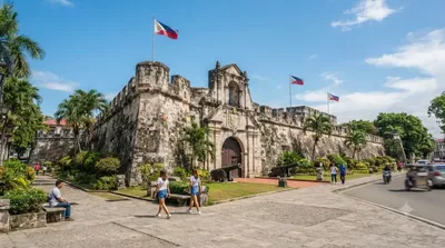
サン・ペドロ要塞 は、フィリピン中部セブ島セブ市に存在する稜堡式要塞。スペイン統治時代に建築されたもので、現在その周辺はセブ港湾地区、独立広場となっている。

ここから 1.2 km

カルボンマーケット

ショッピング・繁華街

カルボンマーケット

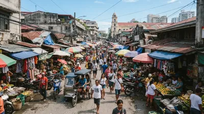
カルボンマーケットとはフィリピンの中部ビサヤ地方に位置するセブ市最大の最も歴史あるファマーズマーケットであり、セブにおける主要な観光地である。ここは車椅子でも訪れる事ができる。カルボンマーケットはセブの商業地区であるMC Briones沿いのエルミタのバランガイに位置しており、この地域で最も多くのバスやジプニーが通っている販売されている商品には服やボホール島のカラマンシーのバスケット、魚、鶏、トライプなどがある、トライプは手で作られており、お土産品として売られている。

ここから 1.2 km

Plaza Independencia

公園・庭園

Plaza Independencia

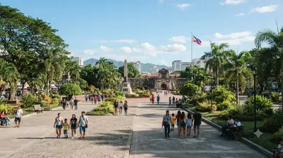
The Plaza Independencia is a Spanish colonial era plaza in Cebu City.

ここから 1.3 km

Plaza Sugbu

公園・庭園

Plaza Sugbu

Plaza Sugbu, formerly known as Plaza Rizal, is a public square in Cebu City, Philippines. The square connects the Magellan's Cross kiosk and the Cebu City Hall. The square was inaugurated in 2008 by Philippine president Gloria Arroyo.

ここから 1.3 km

マゼラン・クロス

遺跡・記念物

マゼラン・クロス

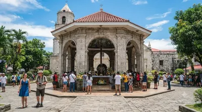
'マゼランの十字架 は、ポルトガル・スペインの探検家であるマゼランが1521年3月15日にフィリピンのセブ島に到着した時に建てた十字架である。

ここから 1.3 km

サント・ニーニョ教会

寺社・宗教施設

サント・ニーニョ教会

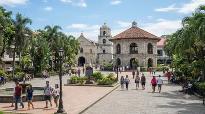
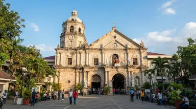
The Basílica Minore del Santo Niño de Cebú, or simply the Santo Niño Basilica, is a Catholic minor basilica in Cebu City, Philippines. It was originally founded by Augustinian friars Andrés de Urdaneta and Diego de Herrera in 1565. It is the oldest church in the country and is purported to have been built on the site where the image of the Santo Niño de Cebú was rediscovered during the expedition of the Spanish conquistador Miguel López de Legazpi.

ここから 1.4 km