自然
トゥボン川
Thu Bon River
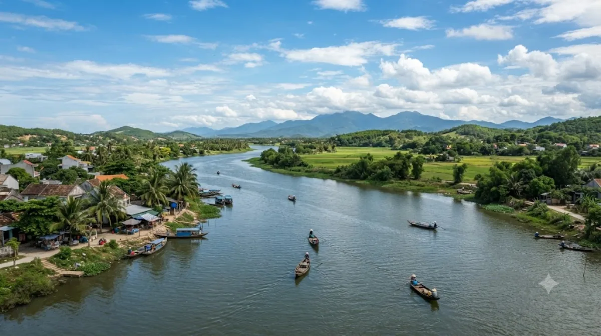
トゥボン川 はベトナム中部クアンナム省の川。主流は約205キロメートルでホイアン市の旧市街を流れ、同市の東部で南シナ海 へと流れる。ホアイ川とも呼ばれる。
What it is
The Thu Bồn is the main river of the Da Nang–Hội An area, formed upstream by the meeting of the Tranh and Tiên Rivers before winding down through the municipality and out to the South China Sea. Most visitors encounter it in Hội An, where it runs alongside the old town — a working waterway lined with fishing boats, riverside houses, and small ferries rather than a formal sight with an entrance. It's worth seeing for the everyday river life and the views back toward the old town's rooftops, not for any single landmark on its banks.
Getting there
From central Da Nang, the river at Hội An is roughly a 45-minute drive or taxi ride (around 30km). Within Hội An itself, the riverfront is walkable from the old town in a few minutes, and boatmen along the bank offer short trips on the water.
Time to allow
A stroll along the riverbank takes well under an hour; a short boat ride adds another 30–45 minutes.
When to go
Late afternoon into early evening is popular, when the light softens and lanterns along the bank are lit — this is also when the riverfront gets busiest with visitors and boat touts. Mornings are quieter. Be aware the river can rise and flood parts of the old town during the wet season, roughly October to December, which may disrupt riverside access.
Combine with
- Japanese Bridge (4.9km) and Museum of Sa Huynh Culture (4.9km)
- Hoi An Museum (5.2km) and Museum of Trade Ceramics (5.2km)
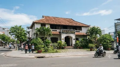
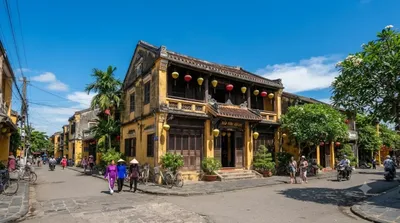
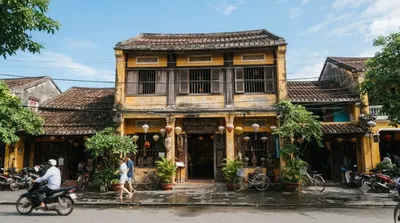
These sit close together in the old town, so a riverside walk pairs easily with a loop through the museums and the bridge on foot.
出典:ウィキペディア・OpenStreetMap の公開データ · 2026年8月5日 更新 · 編集 World by City 編集部