Natur
Fluss Thu Bồn
Thu Bon River
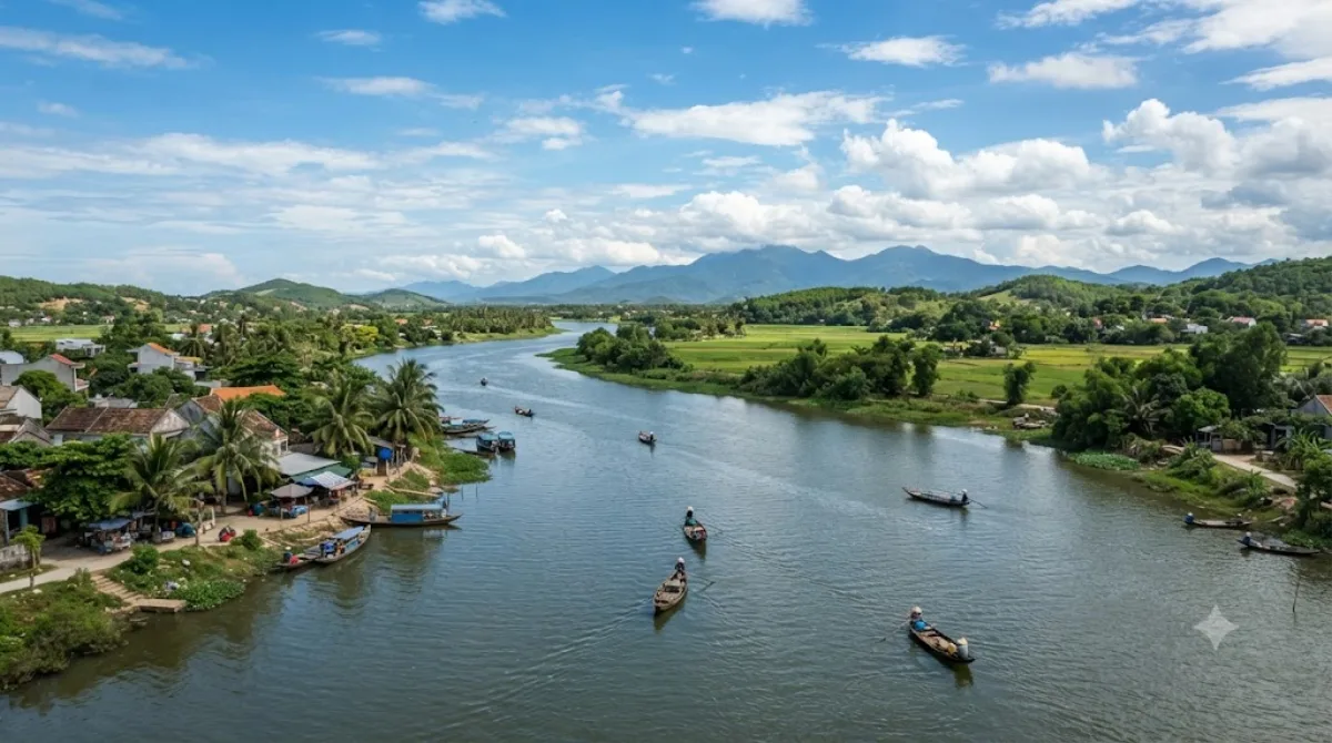
Der Thu Bon Fluss
Der Thu Bon ist ein Fluss in Zentralvietnam, der aus dem Zusammenfluss der Flüsse Tranh und Tien entsteht und schließlich ins Südchinesische Meer mündet. Reisende besuchen den Fluss vor allem im Bereich der Altstadt von Hoi An, wo historische Gebäude und Boote das Ufer säumen. Ein charakteristisches Merkmal sind die schwimmenden Laternen, die jeden Abend auf dem Wasser ausgesetzt werden.
Anreise und Dauer
Vom Stadtzentrum von Da Nang aus ist der Flussabschnitt in Hoi An am einfachsten mit dem Taxi oder einem gemieteten Fahrzeug zu erreichen. Die Fahrtzeit beträgt je nach Verkehrslage etwa 30 bis 45 Minuten. Für einen Spaziergang entlang des Ufers oder eine kurze Bootsfahrt sollten Besucher etwa zwei bis drei Stunden einplanen.
Beste Besuchszeit
Die Abendstunden sind die frequenteste Zeit, da dann die Laternen auf dem Wasser zu sehen sind. In dieser Zeit ist an den Ufern sehr voll. Die Trockenzeit in Zentralvietnam ist für Besuche am geeignetsten, um starke Regenfälle zu vermeiden, die den Wasserstand und die Strömung beeinflussen können.
Kombinationsmöglichkeiten
Aufgrund der zentralen Lage in Hoi An lassen sich weitere Sehenswürdigkeiten in kurzer Distanz kombinieren:
- Japanische Brücke: 4,9 km entfernt
- Museum der Sa Huynh Kultur: 4,9 km entfernt
- Hoi An Museum: 5,2 km entfernt
- Museum für Handelskeramik: 5,2 km entfernt
Aktualisiert 20. September 2026 · Redaktion die World by City-Redaktion
 GetYourGuide
 Klook
Klook
 Tiqets
 KKday
KKday
 WeGoTrip
 Booking.com
 Hotels.com