自然
リエンツァ川
Rienz
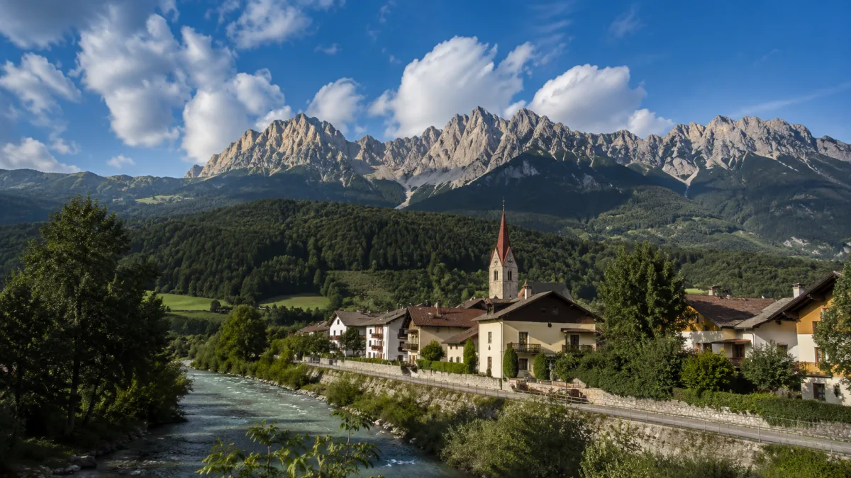
リエンツァ川 は、イタリアのアルト・アディジェを流れる全長約90kmの川である。
What it is
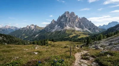
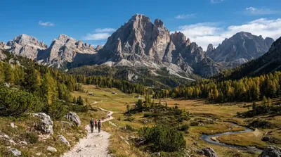
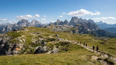
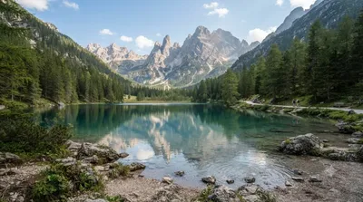
The Rienz is the river that drains the eastern Dolomites around Toblach (Dobbiaco), starting from a source at roughly 2,180 m south of the town. Near its headwaters it flows through a high, forested valley below some of the most recognisable peaks in the Dolomites, before dropping into the Puster Valley and eventually reaching Brixen 90 km downstream. Near Toblach the appeal isn't the river itself so much as the valley it carves — a quiet, green counterpoint to the surrounding rock walls, popular with hikers and cyclists rather than sightseers looking for a single viewpoint.
Getting there
From Toblach town centre, the valley containing the Rienz's upper course is reached by heading south on foot, bike, or local road toward the Tre Cime area; the walk into the valley itself takes about 20–30 minutes from the edge of town, longer if you're going to the actual source.
Time to allow
An hour or two covers a walk along the river; a half-day is more realistic if you're combining it with a longer hike toward the surrounding peaks.
When to go
Late spring through early autumn is the practical window, since snow closes higher trails outside that period. Mornings are quieter; this whole valley sits on the approach route to the Tre Cime di Lavaredo, so traffic and parking nearby can get busy by midday in summer.
Combine it with
- Paternkofel (1.3 km) — the closest of the major peaks overlooking the valley.
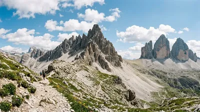
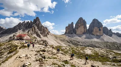
- Tre Cime di Lavaredo (1.8 km) — the well-known three-peak formation and the main draw for most people passing through this area.
- Dreischusterspitze (4.5 km) and Zwölferkofel (4.9 km) — further peaks for those extending into a longer day hike.
出典:ウィキペディア・OpenStreetMap の公開データ · 2026年8月5日 更新 · 編集 World by City 編集部